
 Join The Club


Blog
Was The World’s ‘Northern-Most Island’ Erased From Charts?
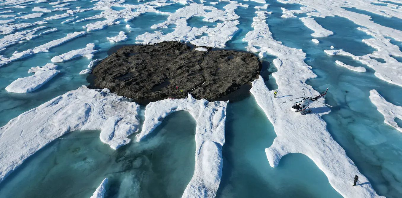
by Kevin Hamilton (University of Hawaii) In 2021, an expedition off the icy northern Greenland coast spotted what appeared to be a previously uncharted island.
by Kevin Hamilton (University of Hawaii) In 2021, an expedition off the icy northern Greenland coast spotted what appeared to be a previously uncharted island.
The UK Hydrographic Office (UKHO) has extended the timetable for ceasing its paper chart production in response to user feedback. For more than two centuries,
For more than two centuries, mariners, shipping companies and international governments have relied on UK Hydrographic Office (UKHO) charts to safely navigate
The U.S. National Oceanic and Atmospheric Administration is set to begin implementing its sunset plan for paper nautical charts as it transitions exclusively
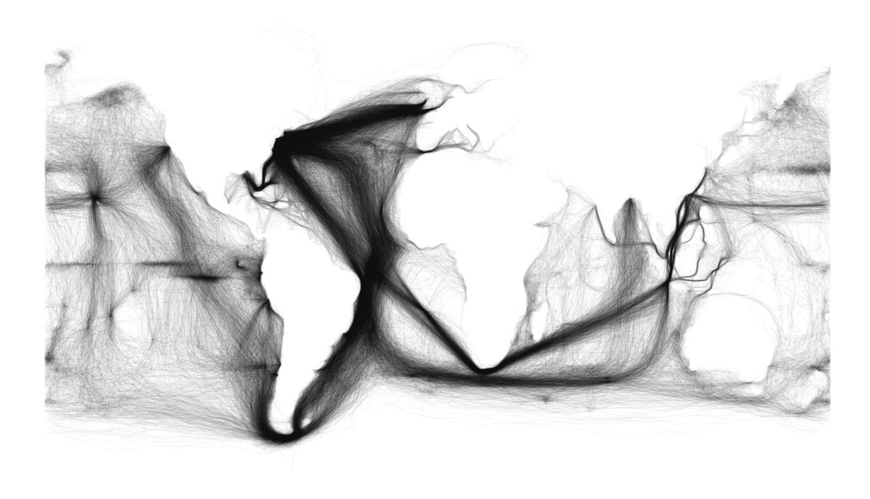
Scan a large collection of 18th- and 19th-century ships’ logs (1), plot them on a blank digital canvas canvas, and you get this extraordinary world map.
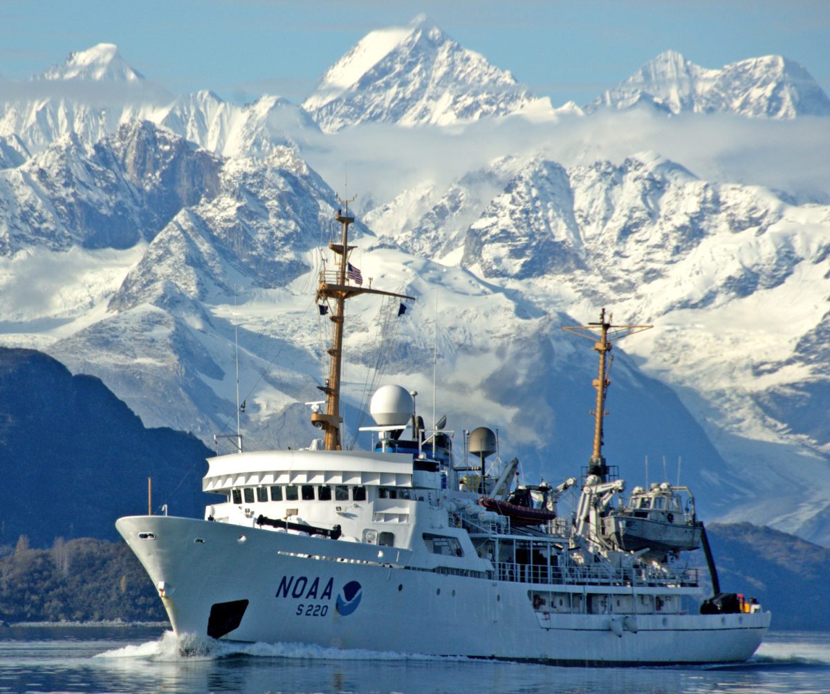
“Much of Alaska’s coastal area has never had full bottom surveys to measure water depths,” according to Cmdr. James Crocker, commanding
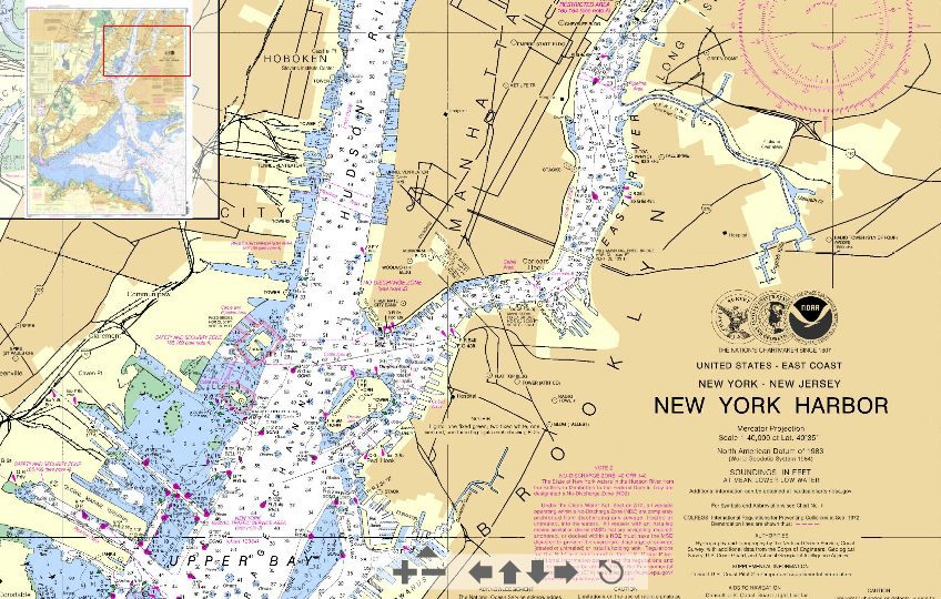
One of the frustrations of planning voyages to new ports is obtaining charts. To reduce costs and also to avoid having to correct old charts, shipping
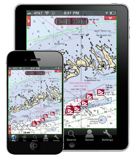
In just two short years, Apple’s iPad has grown to dominate the world of tablet computing with over 48 million units sold. Tomorrow Apple is set to
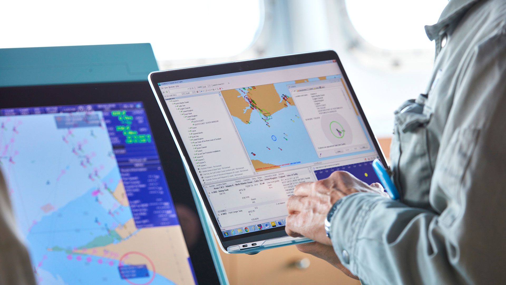
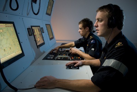
NOAA’s development of a new navigational chart processing system, designed to meet the changing needs of the maritime community, moves into initial
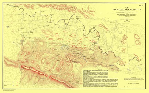
U.S. Coast Survey cartographers traveled with Union forces to produce battlefield maps during the Civil War (Map of the Battlefield of Chickamauga). Credit:
Ever wonder how your voyage plan would look to Gerardus Mercator, John Speed or even Captain Cook? Laying out voyage plans has gotten easier in the past

.Telegeography.com is selling one of the most interesting world maps I’ve seen to date. The map depicts the over 120 subsea cables including detailed
This map shows the antipodes of each point on the Earth‘s surface – the points where the blue and pink overlap are land antipodes. Notice that most
Here is a list of gCaptain’s picks for the most interesting ways to track Hurricanes. 1) IBISeye.com’s Hurricane Tracker. Click on past and future
Essential maritime and offshore news, insights, and updates delivered daily straight to your inbox


Essential news coupled with the finest maritime content sourced from across the globe.
Sign Up
