On the first day of the 15th session of the IMO Sub-Committee on Radiocommunications, Search and Rescue, a ceremony took place to celebrate the expansion of the World-Wide Navigational Warning System (WWNWS) into Arctic waters. It was attended by the Secretary-General of the World Meteorological Organization (WMO), Mr. Michel Jarraud, the President of the International Hydrographic Organization (IHO), Admiral Alexandros Maratos, and IMO Secretary-General, Mr. Efthimios E. Mitropoulos.
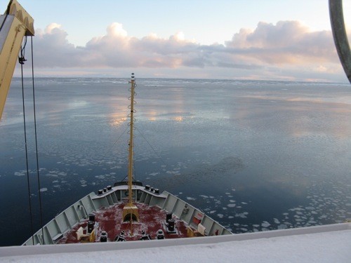
The expansion means that ships operating in the harsh Arctic environment can automatically receive vital information about navigational and meteorological hazards and other urgent information to shipping, via five new navigational areas (NAVAREAs) and meteorological areas (METAREAs), as delineated by IMO and WMO respectively.
Following their establishment, in June 2010, the five Arctic NAVAREAs/METAREAs are currently in an “Initial Operational Capability” phase with a transition to “Full Operational Capability” expected in the coming June.
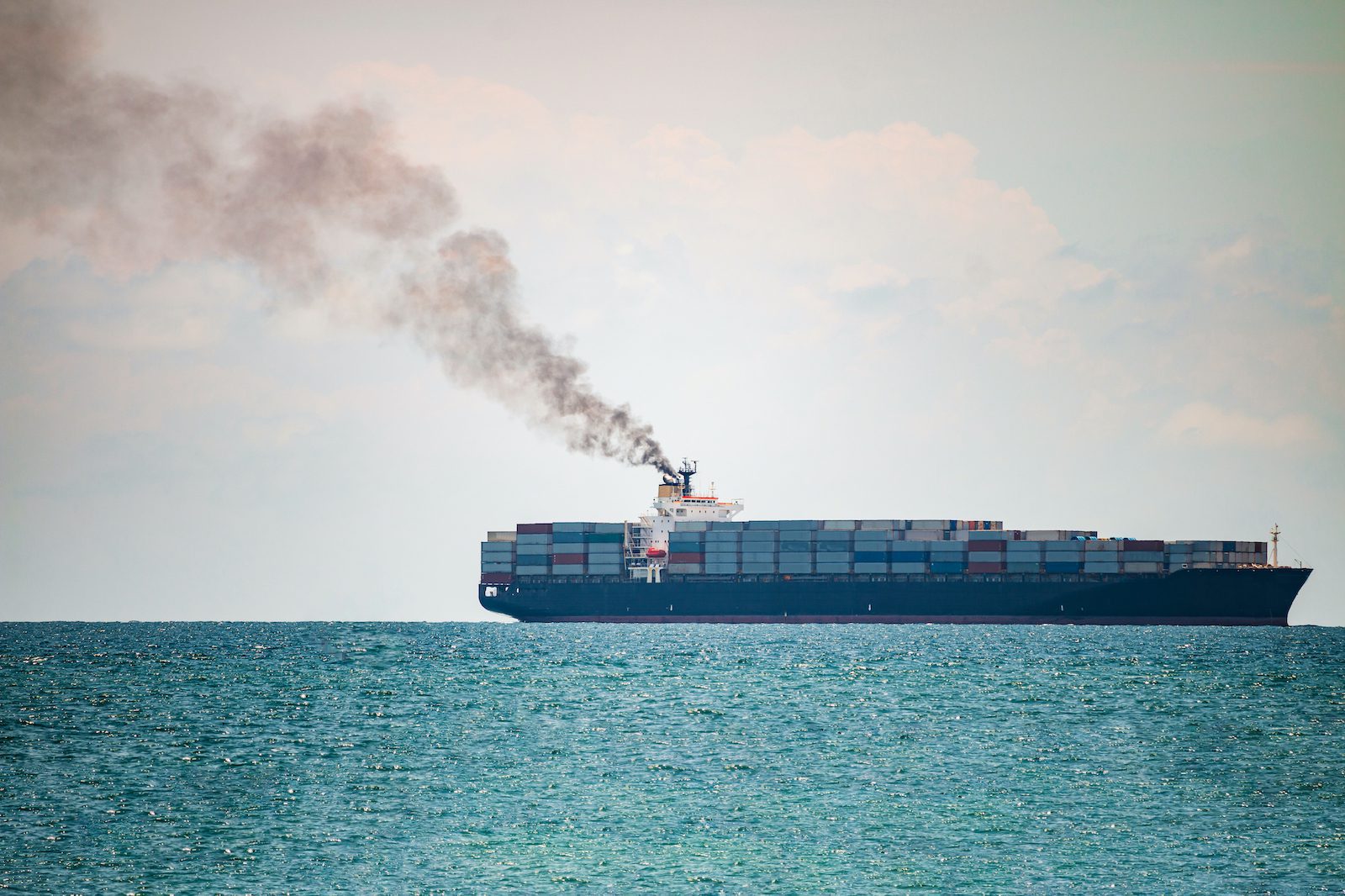
IMO Secretary-General Mitropoulos heralded the expansion of WWNWS into Arctic waters as a very significant development, needed to address the increased risks to ships from a combination of expanding business activity in the inhospitable Arctic region and less predictable, more extreme, weather conditions. “The potential for accidents and for causing environmental harm through operational mishaps in the Arctic is rising, while the effectiveness of search and rescue services and clean-up resources is inevitably stretched to the limit.” he said.
“The opening up of the Arctic will be a double-edged sword. Depending on your perspective, it represents either a world of new business opportunities or, on the other hand, an unwelcome extension of the human footprint into areas still, at the moment, predominantly pristine. But I am confident that, balancing the two extremes and with measures such as those we inaugurate today, the pioneering venture in the new frontiers will be met with universal approval. Let us, therefore, work together to create the conditions that will allow the opportunities the Arctic presents to flourish in a framework of utter safety and environmental protection,” Mr. Mitropoulos said.
“Sea ice is projected to increasingly shrink under all scenarios and for some projections the Arctic late-summer sea ice would vanish almost entirely by the middle of the century, opening unprecedented challenges to maritime safety which were unpredictable just one generation ago,” Mr. Jarraud said.
“With the establishment of these NAVAREAS the world is fully provided with services to provide navigational and meteorological warnings to mariners. We can now say that the WWNWS that started in the early 1970’s is complete. A service which is not only very useful but vital to the safety of navigation and protection of the marine environment will be provided to mariners and vessels cruising within this environmentally sensitive Arctic region,” added Admiral Maratos.
The World-Wide Navigational Warning System (WWNWS) in the Arctic
The WWNWS was established by IMO, in collaboration with IHO, in the late 1970s, and the world’s oceans were divided into l6 NAVAREAs, with one designated country in each area responsible for disseminating navigational information. METAREAs, with identical limits, were also subsequently established.
The need to expand this service into the Arctic area was brought to the attention of IMO in 2005, as Arctic waters were becoming increasingly accessible with less predictable, more extreme weather, adding up to increased risk and potential for accidents and environmental harm, thereby requiring accurate early warning systems in place to maximize operational safety and minimize environmental damage.
In 2006, the COMSAR Sub-Committee established the joint IMO/IHO/WMO correspondence group on Arctic Maritime Safety Information services to take up this work in detail. COMSAR 12, in 2008, agreed that a common broadcast system for Maritime Safety Information (MSI) was required for the Arctic region. It also agreed that, until an Arctic satellite service provider under the Global Maritime Distress and Safety System (GMDSS) was available, high-frequency narrow-band direct printing was a viable alternative means of promulgation of MSI above the high latitude limits of Inmarsat coverage.
In 2009, the COMSAR Sub-Committee endorsed the recommendation of the correspondence group for live testing of the Arctic NAVAREA/METAREA operations to be held in 2009 and 2010, with a milestone goal of “Full Operational Status” being declared at COMSAR 15 in 2011, which has now been met.
Responsibility for Arctic NAVAREA Coordinators and the METAREA Issuing Services has been assumed by Canada, Norway and the Russian Federation (NAVAREA/METAREA XVII – Canada; NAVAREA/METAREA XVIII – Canada; NAVAREA/METAREA XIX – Norway; NAVAREA/METAREA XX- Russian Federation; NAVAREA/METAREA XXI – Russian Federation).
(c) International Maritime Organization
Photo via International Arctic Research Center’s Beaufort Sea Cruise blog
Updated: April 13, 2011 (Originally published March 8, 2011)
Editorial Standards · Corrections · About gCaptain

 Join The Club