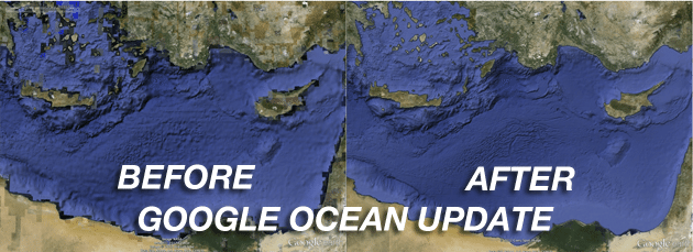
[dropcap]I[/dropcap]n the three years since Google earthexpanded its reach into the ocean the company has focused with enthusiasm on building great relationships with the world’s leading oceanographers, people like David Sandwell at Scripps/UCSD, Sylvia Earl and Walter Smith at NOAA, and many others have collaborated to bring greater depth and accuracy to Google Ocean. And today the efforts have paid off.
Today Google has announced a major update to Earth which, by incorporating ocean topography soundings from all over the globe, reveals the most accurate digital view of the seafloor to date. This new detail comes from spacecraft measurements of bumps and dips in the ocean surface as well as shipboard soundings from surveys carried out by over 40 countries. With this update to ocean terrain data in Google Earth, 15 percent of the seafloor is now available at 1 km resolution.
Google tells us that, in order to make this update possible, “partners at the Scripps Institution of Oceanography at UCSD have curated 30 years of data from more than 8,000 ship cruises and 135 different institutions.” And to showcase the new technology they have released the following video which, in detail, showcases all of the new features of Google Ocean. Take a look:
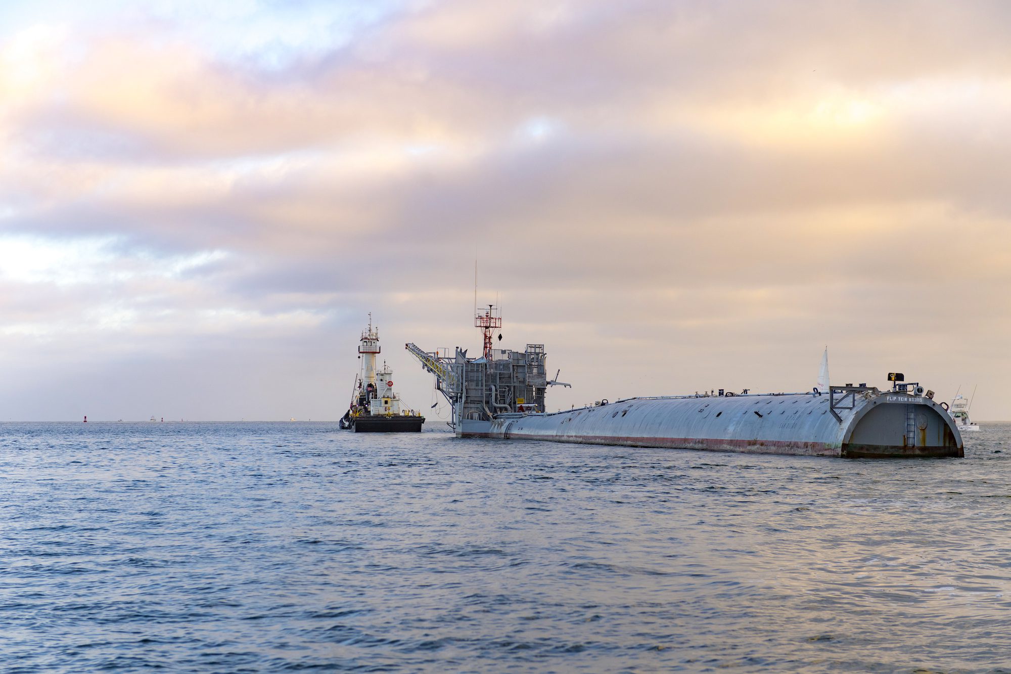
In a quiet corner of the Pacific last August, a vessel unlike any other was making what many thought was its final voyage. R/P FLIP (Floating Instrument Platform), the U.S....
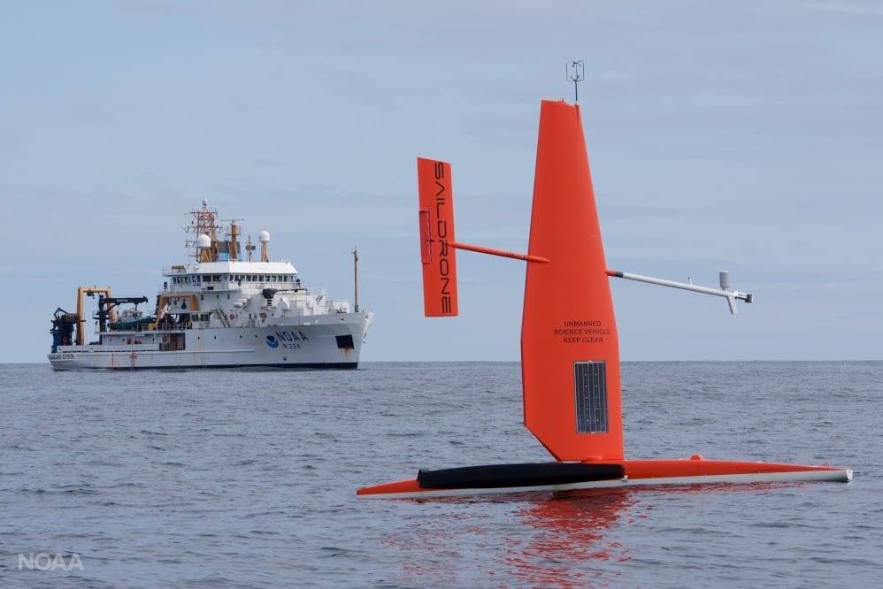
While the maritime world struggles with COVID-19, one industry segment continues to grow at a rapid pace: Marine Autonomy. With companies like the MIT startup, Blksail completing autonomous trials remotely,...
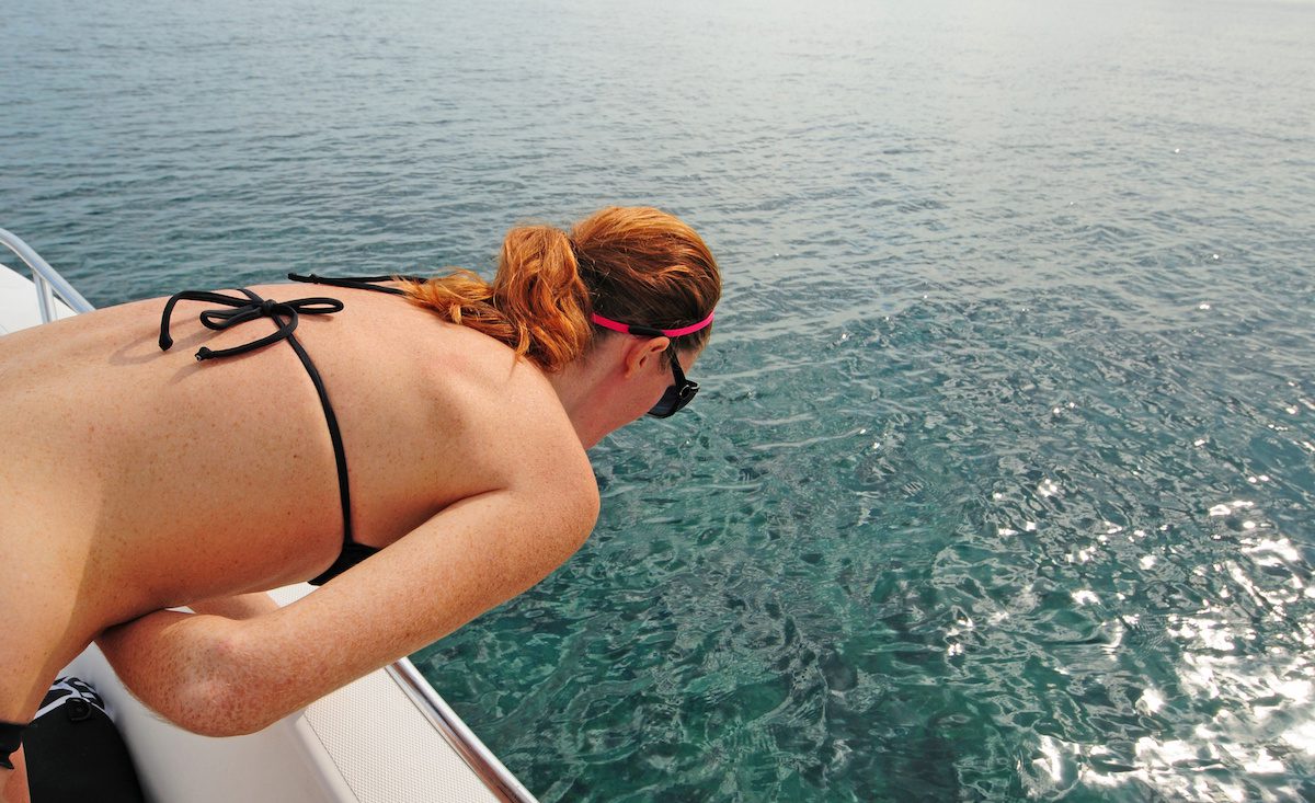
What is the definition of misery? Answer: Seasickness One of the first questions I get asked when a landlubber finds out I work at sea is, “Do you get seasick?” In...
June 1, 2020
Total Views: 47810
Get The Industry’s Go-To News
Subscribe to gCaptain Daily and stay informed with the latest global maritime and offshore news
— just like 104,677 professionals
Secure Your Spot
on the gCaptain Crew
Stay informed with the latest maritime and offshore news, delivered daily straight to your inbox
— trusted by our 104,677 members
Your Gateway to the Maritime World!
Essential news coupled with the finest maritime content sourced from across the globe.

 Join The Club