Wednesday, February 8, 2012
Wednesday, February 1, 2012
Thursday, January 12, 2012
Wednesday, September 28, 2011
Tuesday, September 20, 2011
Thursday, September 15, 2011
Sunday, August 28, 2011
Blog
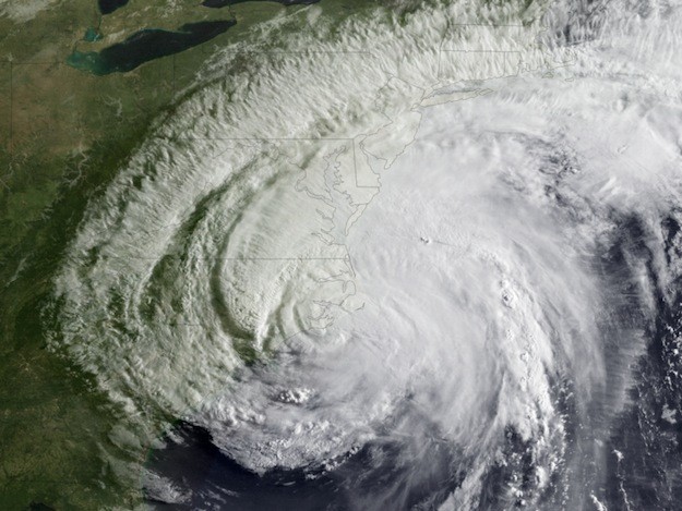
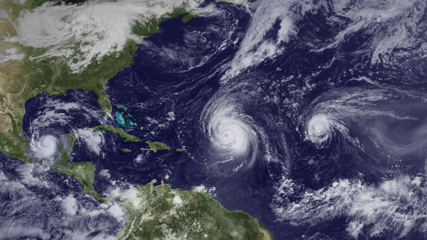
Irene Wrap Up
Image: NOAA Weakened Irene Rakes Coast; Mammoth, Slow-Moving Storm Leaves a Sprawling Trail of Damage Far Inland Hurricane Irene menaced the Eastern seaboard,
Saturday, August 27, 2011
Thursday, August 25, 2011
Friday, August 12, 2011
Blog
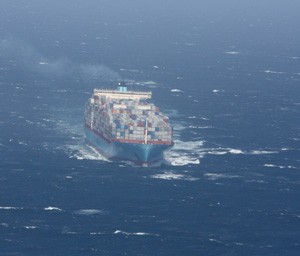
A Thousand Year Storm…
By John J. Miller Tropical Storm Emily petered out over Cuba last week, but the National Oceanic and Atmospheric Administration warns of “high hurricane
Thursday, July 7, 2011
Saturday, June 25, 2011
Monday, June 20, 2011
Thursday, June 9, 2011
Monday, June 6, 2011
Thursday, May 19, 2011
Friday, April 22, 2011
Monday, April 4, 2011
Thursday, March 17, 2011

 Join The Club