Join The Club


News
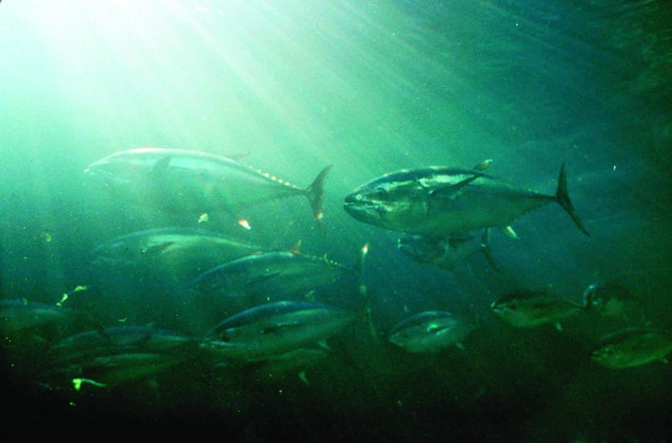
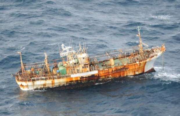
US Government Officials Bust Crew Carrying 8,000 Pounds of Illegally-Caught Fish
A report by NOAA in 2006 warned that “despite the implementation of domestic and international management measures, the status of Atlantic blue and


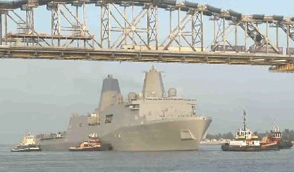
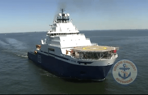
![Marinette Marine Launches the Reuben Lasker Research Ship [VIDEO]](https://gcaptain.com/wp-content/uploads/2012/06/Picture-64.jpg)


![Slow To Ten Knots When Right Whales Are Present! [VIDEO]](https://gcaptain.com/wp-content/uploads/2012/02/Picture-25.jpg)