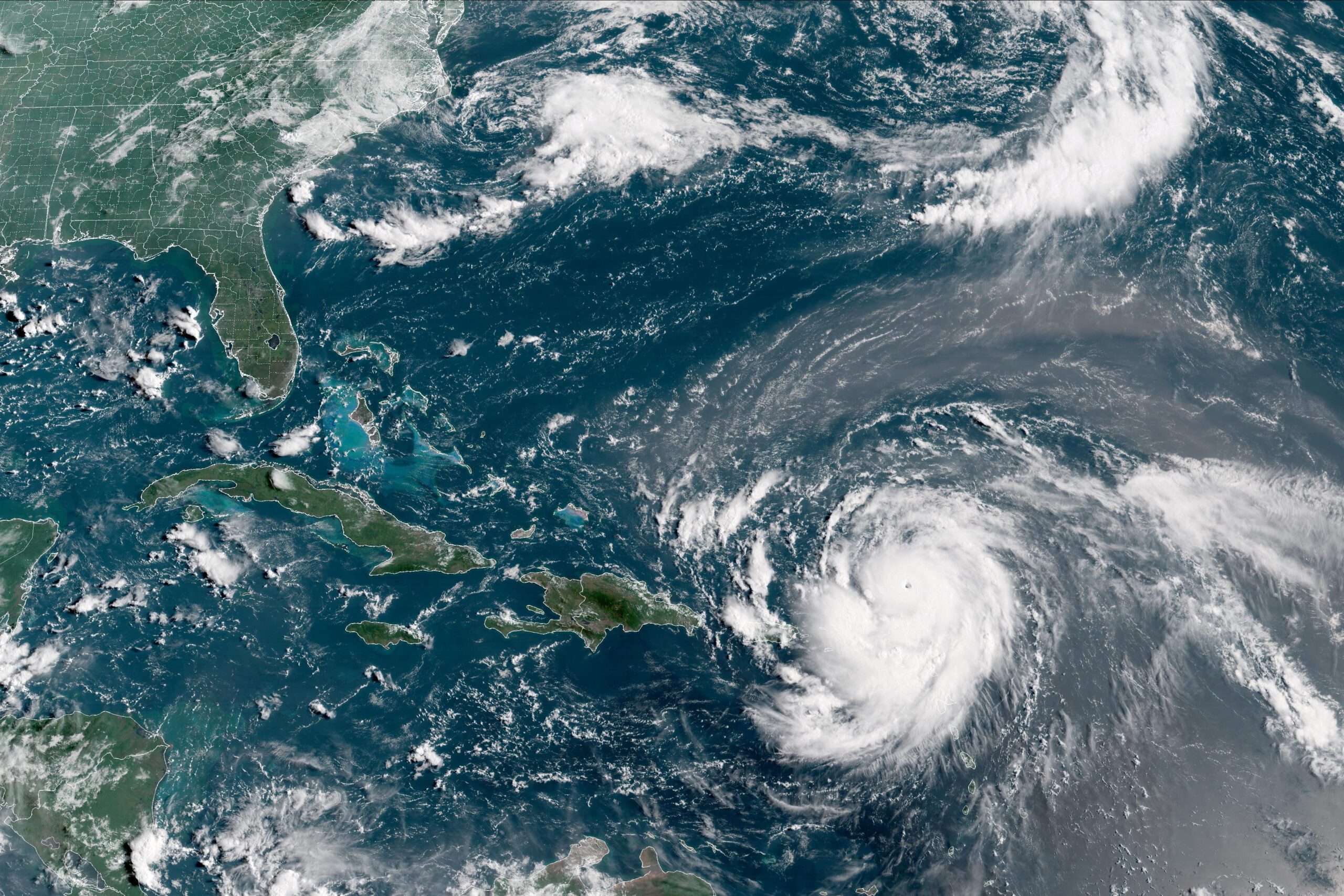
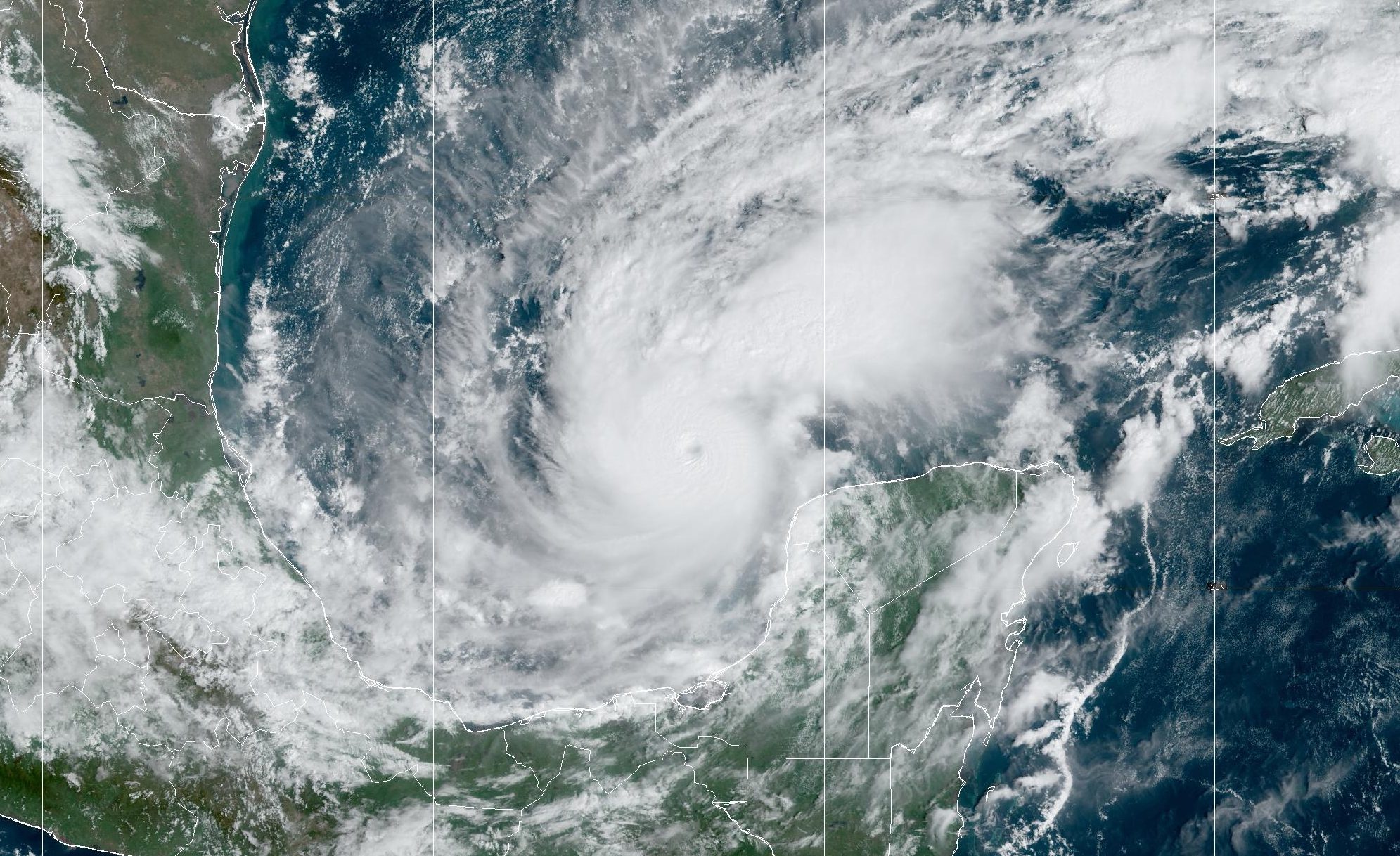
When the first hurricane emerges from the Atlantic Ocean or Gulf of Mexico this season, NOAA will use a new statistical model to help predict the start of the “eyewall replacement cycle,” a key indicator that a storm’s strength and size is about to change dramatically. This new tool adds to a suite of forecast products NOAA uses to warn coastal communities of imminent threats.
An eyewall is an organized band of clouds that immediately surround the center, or eye, of a hurricane. The most intense winds and rainfall occur near the eyewall. Within a hurricane, eyewall replacement cycles occur when a second concentric eyewall forms around the original and eventually overtakes it. This phenomenon especially happens in strong, long-lived hurricanes.
“Hurricanes usually strengthen and grow gradually over time, but eyewall replacement cycles can cause very sudden changes in size and intensity,” said Jim Kossin, a scientist with NOAA’s National Climatic Data Center, who led the effort to create the model.
The model predicts the start of the developing eyewall replacement cycle by measuring key aspects of the storm’s structure and environment and relating these to the conditions observed during past replacement cycles. Kossin said skillful forecasting of these natural cycles is crucial to protecting life and property.
“As it was approaching New Orleans, Hurricane Katrina weakened but grew in size because of an eyewall replacement cycle and the huge wind field led to an enormous storm surge that devastated the Gulf Coast,” Kossin said.
The model uses data from NOAA’s Geostationary Operational Environmental Satellites (GOES) to identify hurricane structure patterns related to eyewall replacement cycles. Microwave images from NOAA’s polar orbiting satellites were incorporated extensively to create the model using past data.
“This is an important first step towards understanding how we can use the eyewall cycle to someday improve intensity forecasts,” said James Franklin, branch chief of the hurricane specialist unit at the National Hurricane Center.
This project is part of the NOAA Joint Hurricane Testbed, which is part of the Hurricane Forecast Improvement Project under the NOAA Weather-Ready Nation strategic plan.
Editorial Standards · Corrections · About gCaptain

 Join The Club