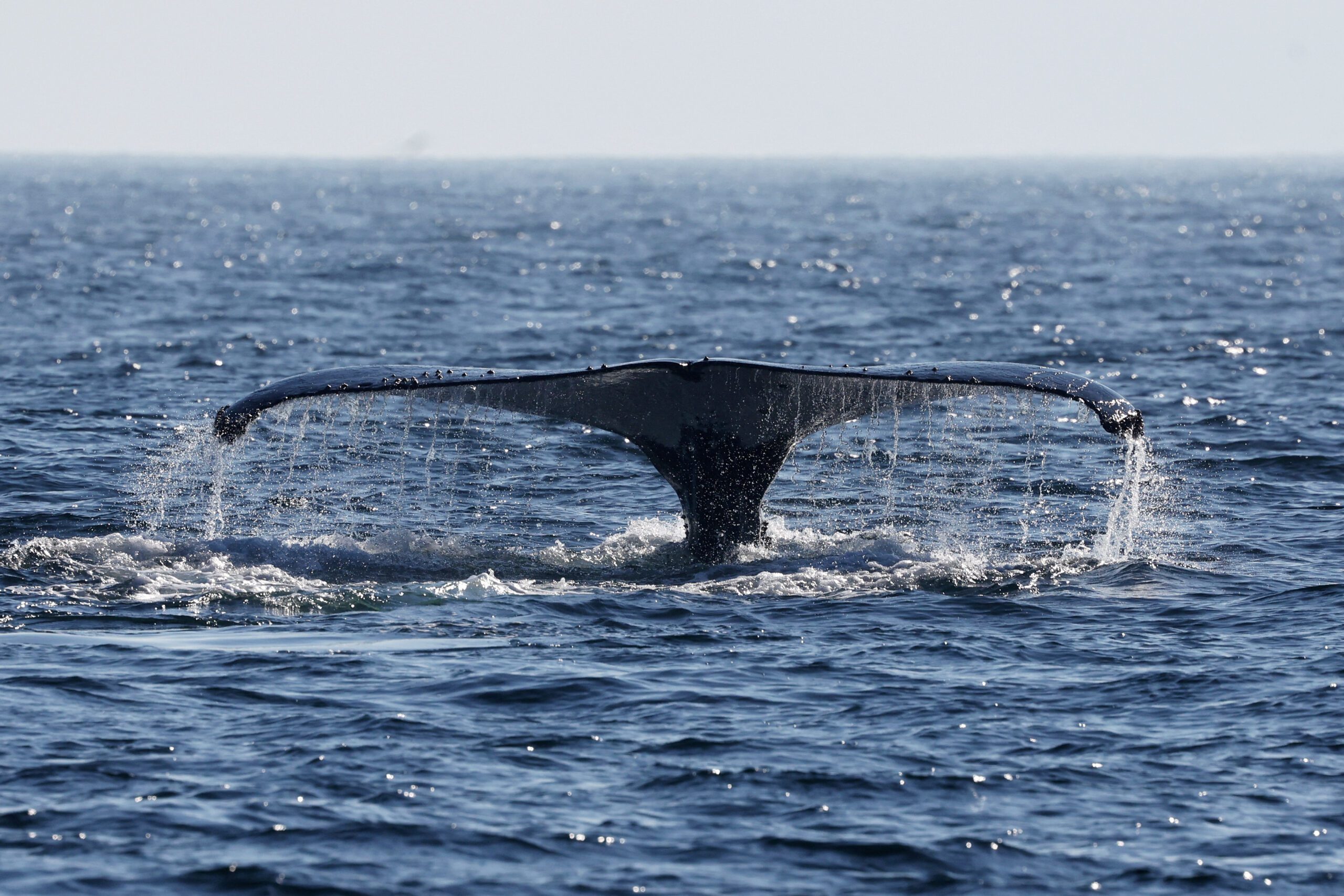
The U.S. Integrated Ocean Observing System, or
IOOS®, is a vast, coordinated network of people and technology working together to deliver data on our coastal waters and oceans. Sponsored by NOAA, this system is a collaboration of the data and work of partners from federal, regional, private sector, and academic organizations.IOOS partners collect coastal and marine data — water temperature, water level, currents, winds, waves, and more — using satellites, buoys, tide gauges, radar stations, underwater vehicles, and a bunch of other high-tech tools. This ocean data is then turned into information that people can use, often in the form of forecasts and products designed to track, predict, manage, adapt, and respond to changes in our marine environment.
Here’s what’s new on IOOS websites representing regions around the nation:
The Alaska Ocean Observing System (AOOS) recently released a new version of the AOOS real-time sensor map. New capabilities include the ability to see the latest observations from multiple sensors housed on a single platform at the same time, bookmark a specific view to return to or send to a friend, and view wind vectors on the main map, showing wind direction and magnitude. AOOS will soon add wave vectors as well. Users can also view a visual representation of relative differences in temperature, precipitation, or other parameters of their choosing across stations.

New and improved ocean and coastal data is now available in California. The Central and Northern California Ocean Observing System (CeNCOOS) now offers a new version of their data portal with more than a dozen upgrades. Changes include locations and links to real-time data for 32 high-frequency radar stations that measure ocean surface currents from the shoreline, four new National Weather Service wind stations, and a link to the data portal’s mobile iPhone app. An Android app will be released in the near future.

The Southern California Regional Coastal Ocean Observing System (SCCOOS) delivers fishermen, mariners, surfers, and decision makers real-time and archived ocean and coastal data collected within the Southern California Bight. Surface current mapping, wave conditions, wind and rain forecasts, and harmful algal bloom (HAB) monitoring are some of the products and services provided through the SCCOOS Observation Map. Capabilities of the Observation Map include the ability to select different observation types to overlay on the map and select items on the map for links to the data.

The Great Lakes Observing System (GLOS) recently launched a newwebsite to improve access to Great Lakes data, products, tools, and the latest GLOS projects. The site features a new design and user interface, product launch pages, relevant news and events, and access to the new Great Lakes Data Catalog. The site makes it easier for users to find real-time and historic Great Lakes data and access tools that process data in a meaningful way for decision makers.

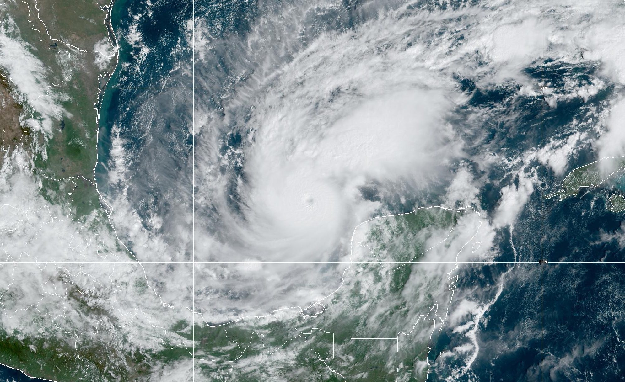
A new website provides one-stop information requested by boaters and fishermen in U.S. Gulf of Mexico waters. The Gulf of Mexico Coastal Ocean Observing System (GCOOS) recently repackaged real-time data into a website that includes seven-day oceanographic and meteorological conditions and forecasts. Information offered includes near real-time weather radar, satellite cloud coverage, sea surface and air temperature, wind speed and direction, surface current speed and direction, and water depth. Users can select map layers to show nautical charts, marine hazard warnings, and habitat maps such as Essential Fish Habitat and Marine Protected Areas.

The Pacific Islands Ocean Observing System (PACIOOS) Hawaii Data Explorer Map provides ocean and meteorological data and information. Information provided includes surface currents, bathymetric, nautical charts, and ocean, tide, surf, and weather forecasts. Recent data and information on various types of natural hazards, such as earthquakes, volcanic eruptions, and drought are provided as well as the locations of emergency shelters, tsunami evacuation zones, and other hazard-related information.

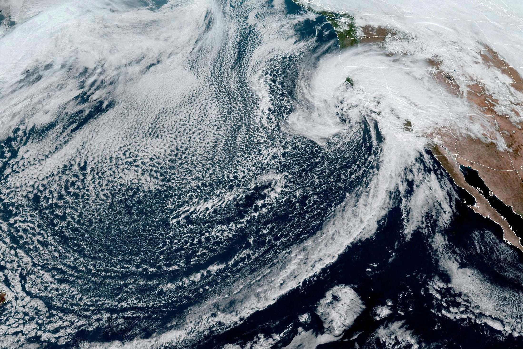
The Northwest Association of Networked Ocean Observing Systems (NANOOS) released version 2.6 of the NANOOS Visual System (NVS). NVS gathers data across a wide range of assets such as buoys, shore stations, and coastal land-based stations. Visualizations of data are provided in a consistent format. You can access plots and data for almost all in-situ assets for the previous 30-day period. New features include places, markers, and tsunami evacuation maps for the coastlines of Oregon and Washington.
Editorial Standards · Corrections · About gCaptain

 Join The Club