Marine Weather Chart Of Atlantic Ocean. Image via NOAA
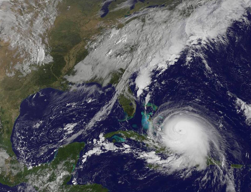
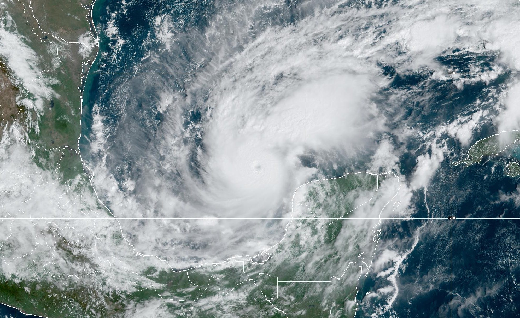
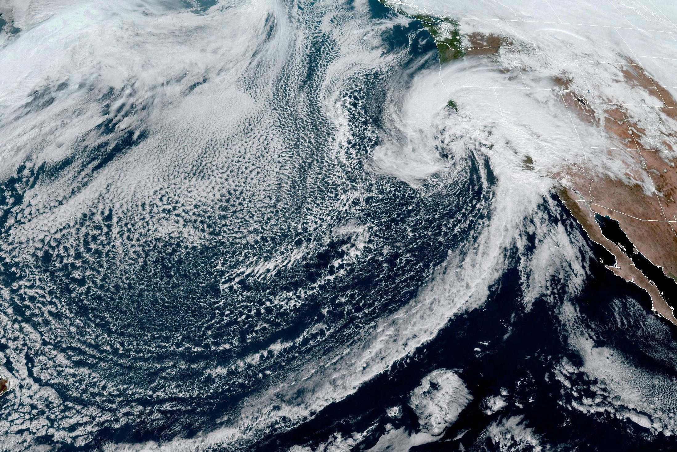
by: Horst von Bargen (Deutscher Wetterdienst) Meteorological satellites (geostationary at an altitude of about 36.000 km and sun-synchronous at a height of about 850 km) provide images and data in many spectral ranges. Their advantage is the generation of region-wide measurements. They allow us to receive information also from areas where there are no weather stations.
The parameters are not measured directly, but are derived from electromagnetic radiation of the Earth’s surface, the atmosphere as well as from reflected signals emitted from radar and sonar instruments by applying advanced computations.
By combining several spectral ranges, meteorological properties are derived. This enables NOAA to get information about the atmospheric conditions and phenomena such as clouds and precipitation, but also data like sea surface temperature and wind speed. But it is not always possible to derive all the data necessary for accurate forecasts.
Heavy rain, for example, impedes the view of the sea surface and therefore prevents us from collecting information about wind speed from wave characteristics.
And, most importantly, the direct measurement of air pressure from space is not feasible. Ship observations are used as a ground-based reference to calibrate measurements from satellites and the applied algorithms and to test their correctness.
Surface-based measurements (e.g. data collected onboard of ships) are indispensable for weather analysis and prediction as well as for long-term climate analysis. Therefore, ship observations provide an essential contribution to safety at sea.
By Danielle Bochove Jul 24, 2025 (Bloomberg) –The world’s oceans experienced a staggering amount of warming in 2023, as vast marine heat waves affected 96% of their surface, breaking records for intensity, longevity...
Chris Vagasky (The Conversation)–The National Hurricane Center’s forecasts in 2024 were its most accurate on record, from its one-day forecasts, as tropical cyclones neared the coast, to its forecasts five days into...
By Valerie Volcovici April 11 (Reuters) – The administration of President Donald Trump aims to eliminate the arm of the National Oceanic and Atmospheric Administration that oversees research on climate change and refocus the U.S....
April 12, 2025
Total Views: 1464
Get The Industry’s Go-To News
Subscribe to gCaptain Daily and stay informed with the latest global maritime and offshore news
— just like 104,628 professionals
Secure Your Spot
on the gCaptain Crew
Stay informed with the latest maritime and offshore news, delivered daily straight to your inbox
— trusted by our 104,628 members
Your Gateway to the Maritime World!
Essential news coupled with the finest maritime content sourced from across the globe.

 Join The Club