NOAA Office of Coast Survey navigation response teams and other survey assets continue to survey in the Port of New York / New Jersey, checking for underwater debris and shoaling that may pose a risk to navigation.
Tasked by the U.S. Coast Guard Captains of the Port, these vessels can use multibeam echo sounders or side scan sonar, as conditions warrant, to search for the answers that would speed resumption of shipping and other vessel movements.
NOAA Coast Survey office said Friday that major survey operations in response to Sandy are completed in Port of Virginia, allowing port operations to resume. Associated Press has reporting that more than a thousand containers diverted from the Port of New York and New Jersey were offloaded in Virginia Thursday, with more on the way.
Meanwhile, critical survey work continues in the Port of New York and New Jersey, with two of Coast Survey’s navigation response teams (NRT) and two of the Thomas Jefferson launches continuing their search for dangers to navigation in shipping channels and terminals.
Today, the high tech survey boats attached to the Thomas Jefferson surveyed the East River, as the ship processes data for delivery to the Coast Guard. One of the boats then went to survey Church Hill Channel this afternoon, while the other went to Gravesend Bay. NRT 2 is surveying Port Elizabeth and Port Newark in Newark Bay. NRT 5 surveyed Kill Van Kull and then proceeded to Author Kill.
Getting the surveys done, quickly but thoroughly, is extremely important to the nation’s economy. Over $200 billion of imports and exports moved through the Port of NY/NJ in 2011. It is the country’s third largest port, by value of cargo (fourth largest, by volume). The flow of trade at the port reaches from America’s heartland, with exports like automobiles and meat, in addition to many other commodities. (See PANYNJ Trade Statistics.)
This graphic, compiled by NOAA’s Office of Coast Survey, Navigation Services Division, depicts the surveys at the Port of NY/NJ. NOAA’s planned and completed surveys (shown in blue) are 82% of the total survey requests for the port.
He wasn’t sightseeing. He was helping America see itself. By Bruce Kimbrell (Policy Op-Ed) Why a Road Trip? They called it a vanity project that was out of touch. A family vacation...
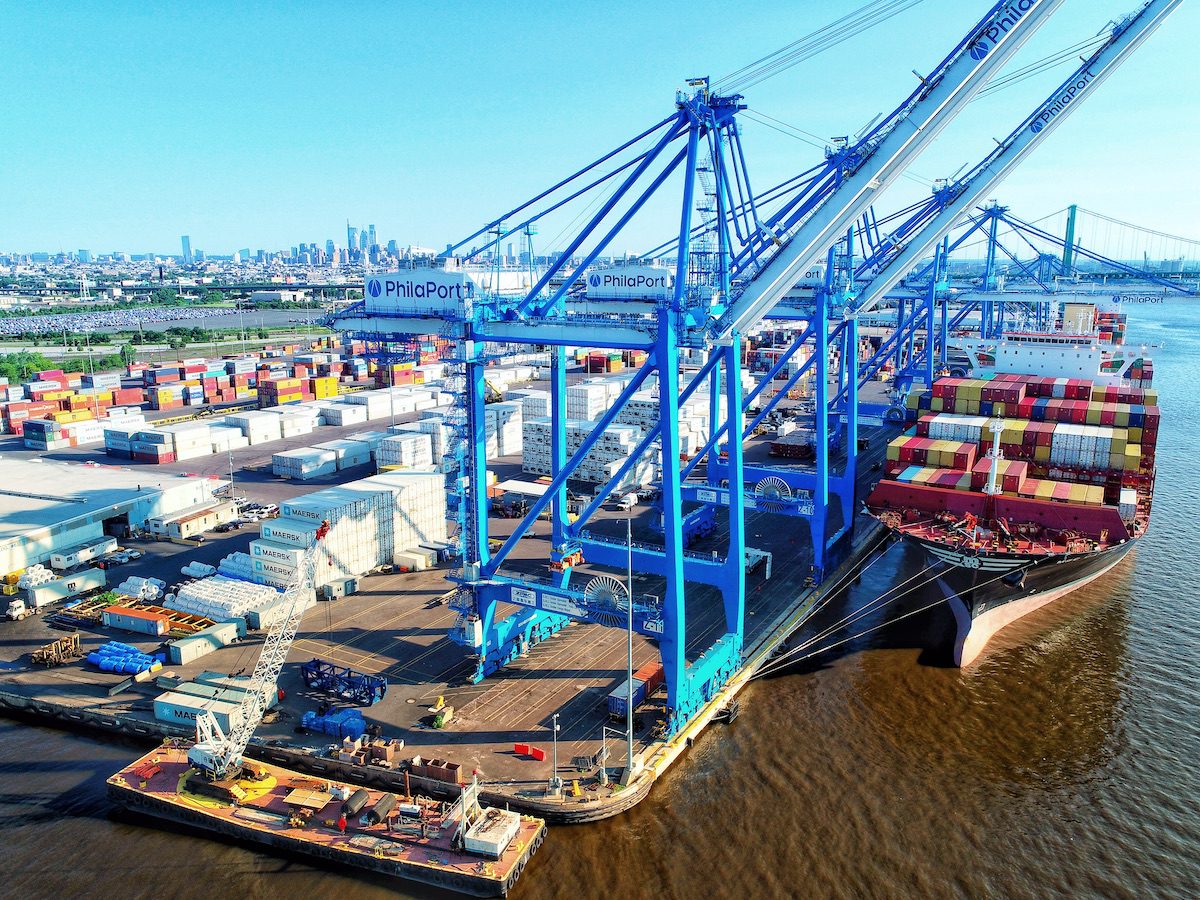
The Port of Philadelphia was the only U.S. port to rank among the world’s top 50 container ports in the Container Port Performance Index (CPPI) 2025, jointly issued by the...
By Bruce Kimbrell (Policy Op-Ed) Over the past year, the White House’s Maritime Action Plan, the President’s FY2027 budget proposal, and a series of maritime and industrial initiatives across the...
May 31, 2026
Total Views: 1826
Get The Industry’s Go-To News
Subscribe to gCaptain Daily and stay informed with the latest global maritime and offshore news
— just like 104,783 professionals
Secure Your Spot
on the gCaptain Crew
Stay informed with the latest maritime and offshore news, delivered daily straight to your inbox
— trusted by our 104,783 members
Your Gateway to the Maritime World!
Essential news coupled with the finest maritime content sourced from across the globe.

 Join The Club


![NOAA: Surveys Continue in Port of New York / New Jersey, Completed in Virginia [SURVEY MAP]](https://gcaptain.com/wp-content/uploads/2012/11/tj-releases-launch-for-east-river-survey-2nov2012-sandy.jpeg)