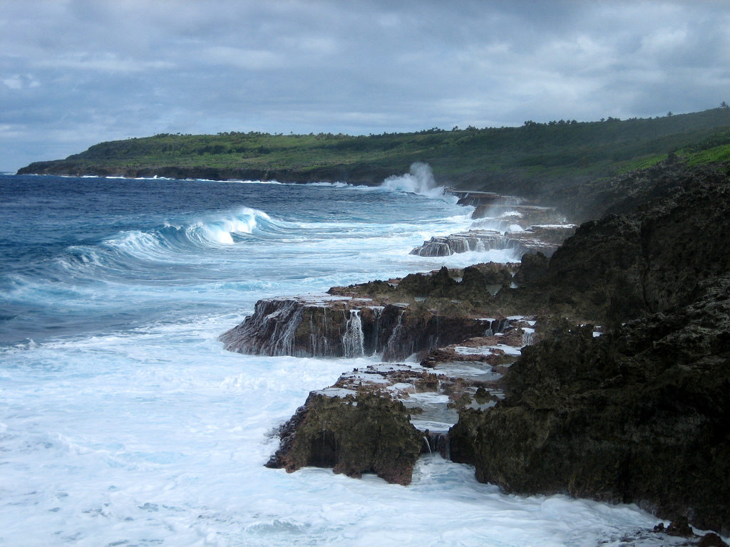
While sifting through NOAA.gov, I came across the NOAA Shoreline Website, a guide to national shoreline data and terms. This is just another free tool to add to NOAA’s arsenal of resources. NOAA explains:
The purpose of this website is to provide clear information about vector shoreline data generated by federal agencies, as well as easy access to these data. The home page provides direct access to shoreline-specific information and, for those who need more background, simple explanations of the common uses of shoreline data. A frequently asked questions section explains some commonly misunderstood topics, and a glossary defines shoreline terms.
The original intent of this site was to alleviate confusion about shorelines generated by National Oceanic and Atmospheric Administration (NOAA) agencies. However, the scope was expanded to include other commonly used federal shorelines. As a result, the site includes detailed descriptions for seven federal vector shorelines, many of which are derived from the same raw data sources. Because the characteristics of these shorelines can be similar, the differences among them can often be explained best by describing the specific purposes for which they were created.
Searching through the site for just a few minutes, it was clearly evident just how much valuable information it contained… and how little I knew about our shorelines. The amount of information and resources within its pages is staggering, and I can only recommend checking it out for yourselves. Main sections include Shoreline Change Analysis, Cartographic Representation, Boundary Determination, Nautical Chart Production, an interesting Shoreline Mapping History and a list of FAQ’s.
The site was developed and designed by the NOAA Coastal Services Center in cooperation with NOAA’s Geodetic Survey, Office of Coast Survey, Office of Ocean and Coastal Resource Management, as well as the U.S. Geological Survey and the National Geospatial Intelligence.
Link: NOAA Shoreline Website
Updated: February 5, 2026 (Originally published November 4, 2008)
Editorial Standards · Corrections · About gCaptain

 Join The Club


