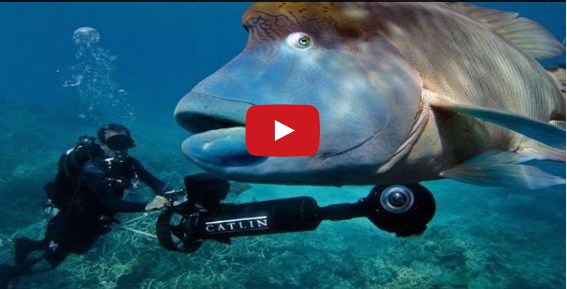
In celebration of World Oceans Day Google has announced a new map feature that can allow you to explore brand new Street View imagery of more than 40 locations around the world, including the American Samoa and Chagos Islands and underwater dives in Bali, the Bahamas and the Great Barrier Reef.
Google hopes the release of this imagery inspires people to learn more about this precious natural resource.
“Mapping the ocean is key to preserving it. Each image in Google Maps is a GPS-located digital record of these underwater and coastal environments, which can be used as a baseline to watch change over time. This comprehensive record of coral reefs showcases the beauty of these ecosystems and highlights the threats they face, such as the impact of increasing storms in the Great Barrier Reef and of rising water temperatures, factors causing the reefs to bleach white,” wrote Jenifer Austin and Brian Sullivan of the Google Ocean Program.
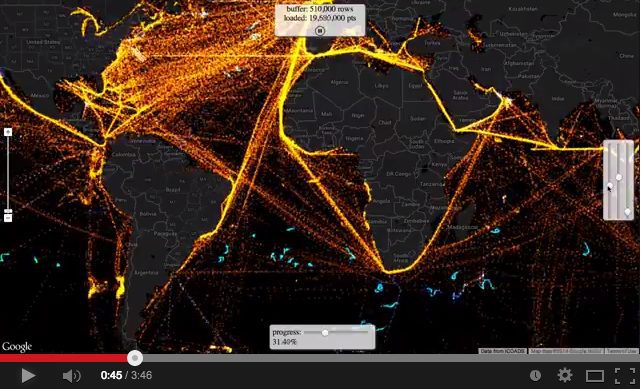
The International Comprehensive Ocean-Atmosphere Data Set (ICOADS) is “probably the most complete and heterogeneous collection of surface marine data in existence,” according to NOAA, and consists of a digital database of 261 million...
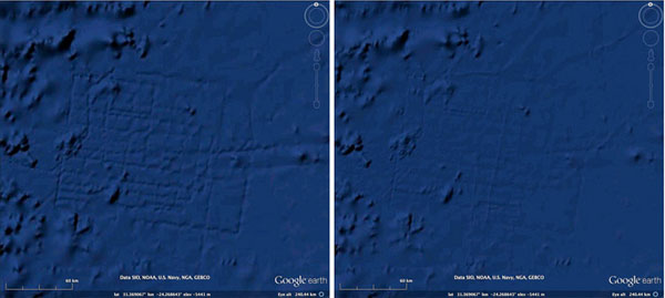
The National Ocean Service, has a minor problem they wish to address. While ‘navigating’ the ocean floor in Google Earth, countless amateur oceanographers have emailed the service thinking they, by...
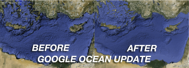
[dropcap]I[/dropcap]n the three years since Google earthexpanded its reach into the ocean the company has focused with enthusiasm on building great relationships with the world’s leading oceanographers, people like David...
February 2, 2012
Total Views: 73
Get The Industry’s Go-To News
Subscribe to gCaptain Daily and stay informed with the latest global maritime and offshore news
— just like 105,229 professionals
Secure Your Spot
on the gCaptain Crew
Stay informed with the latest maritime and offshore news, delivered daily straight to your inbox
— trusted by our 105,229 members
Your Gateway to the Maritime World!
Essential news coupled with the finest maritime content sourced from across the globe.

 Join The Club