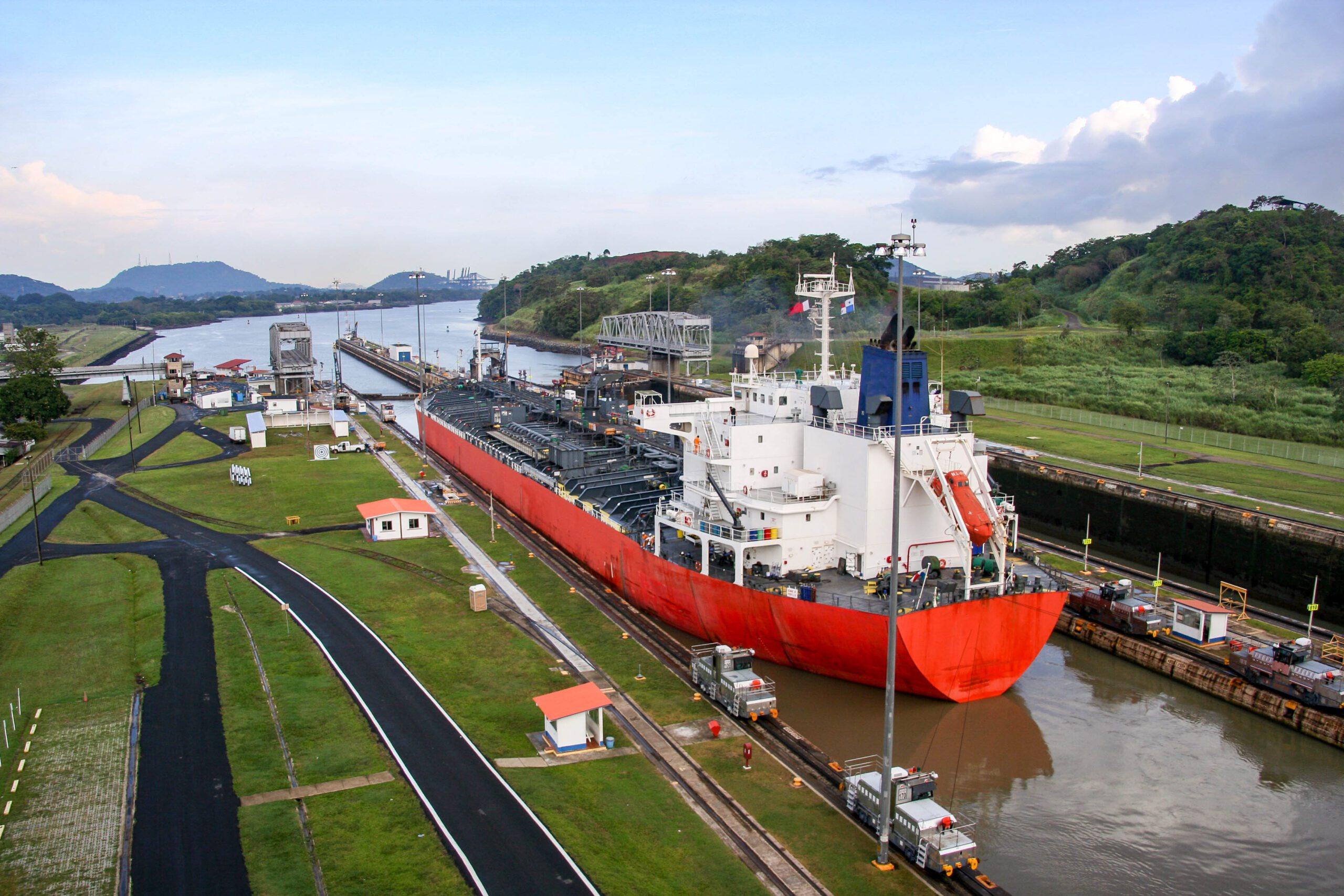
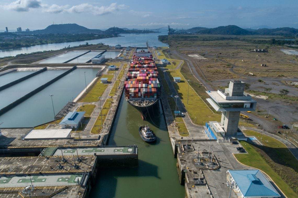
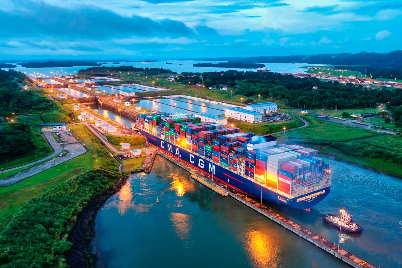
There has been much discussion regarding disruptions in maritime shipping through the Panama Canal primarily due to the drought conditions there. Some of these dialogues have related cycles in precipitation to El Nino Southern Oscillation (ENSO). El Nino (warm phase) and its counterpart La Nina (cold Phase) have been related to reducing or enhancing precipitation respectively.
Recent ENSO outlooks from National Oceanic and Atmospheric Administration, Climate Prediction Center continues to project the beginning of La Nina from June to August 2024. As we approach the rainy season (May to December), there seems to be a high level of anticipation for increased rainfall. These expectations are in line with historical trends over the long term. Rainfall is hoped to be near normal or even above normal with the coming rainy season. If expectations do play out, the Panama Canal Authority is likely to ease restrictions in shipping through the canal. However, there is some degree of uncertainty, and actual data does not always follow historical trends. In fact, recent data show quite an interesting divergence from past records.
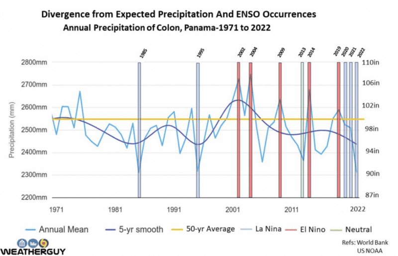
One such dataset is the precipitation records over Colon province. Starting in 2020, a decrease in precipitation below the 50-year average coincides with the start of La Nina event for the next three years. Historical trends would suggest an increase in precipitation during the same period. Of note, during the final year in 2022, the annual precipitation was the lowest since 1985.
On the accompanying graph, the annual precipitation amount (millimeters (mm) on the left axis and inches (in) on the right) is charted from 1971 to 2022. The shaded columns represent ENSO events that diverged from the historical trend of actual precipitation. Note the downward trend in the five year moving average since 2020 during the La Nina event. Similarly, there were La Nina events in 1985 and 1995 where precipitation was unusually low. Inversely, in the El Nino years of 2002, 2004, 2014, and 2019 precipitation was higher than average where usual trends were lower. In 2013, when ENSO conditions were neutral, significantly less rainfall fell that year than the 50-year average.
We are all hoping for some relief in the Panama drought later this year but should not lose sight of the fact that there could be less than expected rainfall too. Regardless, the push for more climate resilient infrastructure for the canal cannot be overemphasized or come too soon.
Rick Shema is a certified consulting meteorologist by the American Meteorological Society. He is an expert in forensic and operational marine meteorology and physical oceanography. His investigative work has assisted attorneys, marine surveyors, and insurance companies in maritime incidents. Mr Shema also supports the maritime industry with decision support, operational forecasts, and voyage planning. You can reach him at [email protected] and https://weatherguy.com.
The Panama Canal Authority (ACP) will reduce the maximum authorized draft for vessels transiting its Neopanamax locks beginning July 3, citing concerns over the potential development of El Niño conditions...
Panama President José Raúl Mulino announced Thursday that Ilya Espino de Marotta has been selected as the next administrator of the Panama Canal, making her the first woman to lead one of the world’s most...
Traffic through the Panama Canal is climbing sharply as disruption in the Strait of Hormuz drives more U.S. energy exports toward Asia and Pacific markets, pushing the waterway close to...
May 21, 2026
Total Views: 513
Get The Industry’s Go-To News
Subscribe to gCaptain Daily and stay informed with the latest global maritime and offshore news
— just like 105,336 professionals
Secure Your Spot
on the gCaptain Crew
Stay informed with the latest maritime and offshore news, delivered daily straight to your inbox
— trusted by our 105,336 members
Your Gateway to the Maritime World!
Essential news coupled with the finest maritime content sourced from across the globe.

 Join The Club