By Paul Morgan (gCaptain) – A quiet technological revolution is unfolding high above the world’s oceans, and it could reshape maritime operations, compliance, and security in ways the industry has never experienced. Enhanced Electro-Optical (EO) satellite imagery, long associated with military intelligence and environmental monitoring, has rapidly matured into a commercially accessible, high-resolution tool that is now penetrating the heart of global maritime trade.
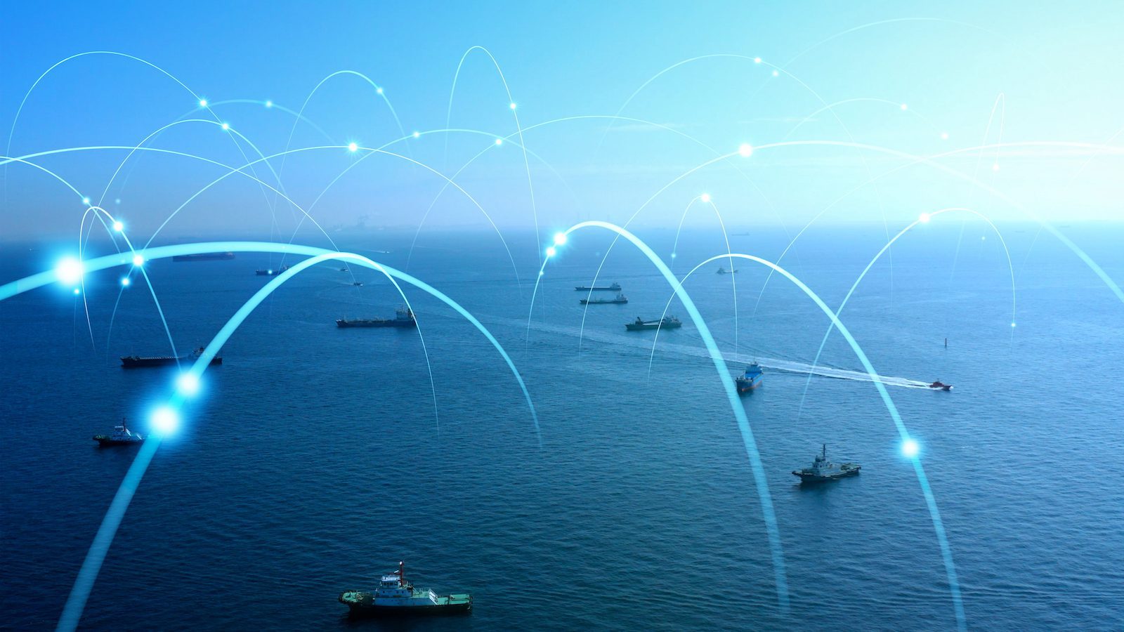
Driven by a new generation of satellites capable of capturing sub-50-centimeter imagery with near-real-time revisit rates, the oceans have effectively become transparent. Ship movements that once relied on AIS broadcasts, port reports, and traditional monitoring can now be observed visually, continuously, and without a vessel’s cooperation. In a sector increasingly pressured by decarbonisation rules, carbon-trading regimes, and complex geopolitics, this new visibility is both a warning and an opportunity.
The evolution has been swift. Companies specialising in maritime intelligence, including surveillance analytics firms and satellite operators, are integrating EO data with synthetic aperture radar, AIS spoof-detection, and vessel-behaviour modelling. The result is a maritime intelligence picture that no longer depends on what ships declare, but what they actually do. As shipping lanes become more crowded, contested, and regulated, the demand for this independent verification has exploded.
A key driver is the rise of deceptive shipping practices. In recent years, vessel identity manipulation, AIS dark-fleets, flag-hopping, and covert ship-to-ship transfers have all increased, particularly in relation to sanctioned oil trades. EO imagery has emerged as the most reliable means of identifying vessels in these grey zones. A tanker that switches off its AIS transponder may still be captured in crystal-clear imagery, its hull markings identifiable and its cargo-transfer operations visible.
Beyond sanctions and security, EO technology is entering the commercial mainstream. Port congestion — once measured by local observation and self-reporting — is now tracked via satellite, allowing carriers and shippers to adjust schedules and reduce idle time. Logistics analysts can now observe queues forming off Los Angeles, Singapore, or Rotterdam in real time, predicting delays days ahead of traditional reporting systems. For a global supply chain still reeling from geopolitical volatility and post-pandemic ripple effects, this intelligence is invaluable.
Compliance is another frontier. As carbon-reporting frameworks tighten through EU ETS, FuelEU Maritime, CII ratings and broader decarbonisation regulations, EO imagery provides an independent layer of performance verification. Regulators and insurers are beginning to explore whether satellite-derived vessel-speed and voyage-behaviour data could form part of compliance audits, particularly where discrepancies emerge between operator-reported data and independent observations. For shipping companies, this marks a shift from voluntary transparency to enforced visibility.
The implications extend to environmental stewardship. EO satellites can now detect oil spills, illegal bilge dumping, and even plume opacity associated with poor fuel quality or high-sulphur content. Combined with algorithmic monitoring, these tools can flag violations automatically, alerting authorities within minutes. As environmental enforcement agencies seek to clamp down on pollution from vessels, EO imagery is becoming a force multiplier with global reach.
With this surge in monitoring capability comes a commercial opportunity. The fuel-efficiency technology sector — including fuel additives, homogenisers, air-lubrication systems, and optimisation software — can leverage EO-driven insights to quantify performance improvements. Shipowners increasingly request third-party verification of fuel-saving claims, and satellite-based analytics may soon become part of standard ROI assessment. If a vessel demonstrably consumes less fuel over an EO-verified voyage profile, the data becomes irrefutable.
However, the expansion of EO surveillance is raising questions about data privacy, competitive intelligence, and regulatory overreach. Shipping companies note that hyper-transparent operations could reveal commercially sensitive routing strategies or fleet utilisation patterns. Analysts argue that the benefits — reduced fraud, better logistics planning, safer waters — outweigh the risks, but the debate is far from settled.
What is clear is that the age of opaque oceans is ending. Enhanced EO satellite imagery has entered the operational bloodstream of maritime trade, transforming how vessels are monitored, how regulations are enforced, and how commercial decisions are made. In an era where compliance, emissions reduction, and geopolitical risk define the maritime agenda, seeing clearly from space may be the most powerful advantage the industry has ever gained.

 Join The Club