
 Join The Club


NOAA
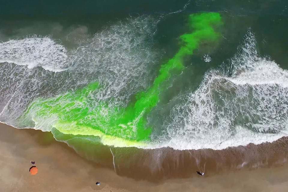
NOAA Launches First National Rip Current Forecast Model
For the first time, NOAA is launching a national rip current forecast model, aimed at saving lives of beach-goers around the country. This new model can
For the first time, NOAA is launching a national rip current forecast model, aimed at saving lives of beach-goers around the country. This new model can

(NOAA)–Ambrose Jearld, Jr. has spent his life around animals and water—both freshwater and seawater. He was born in 1944 into a Navy family in
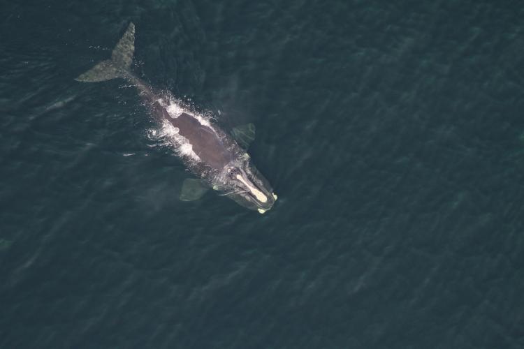
NOAA–Right whales are increasing their use of southern New England waters, including regions slated for offshore wind energy development, according to
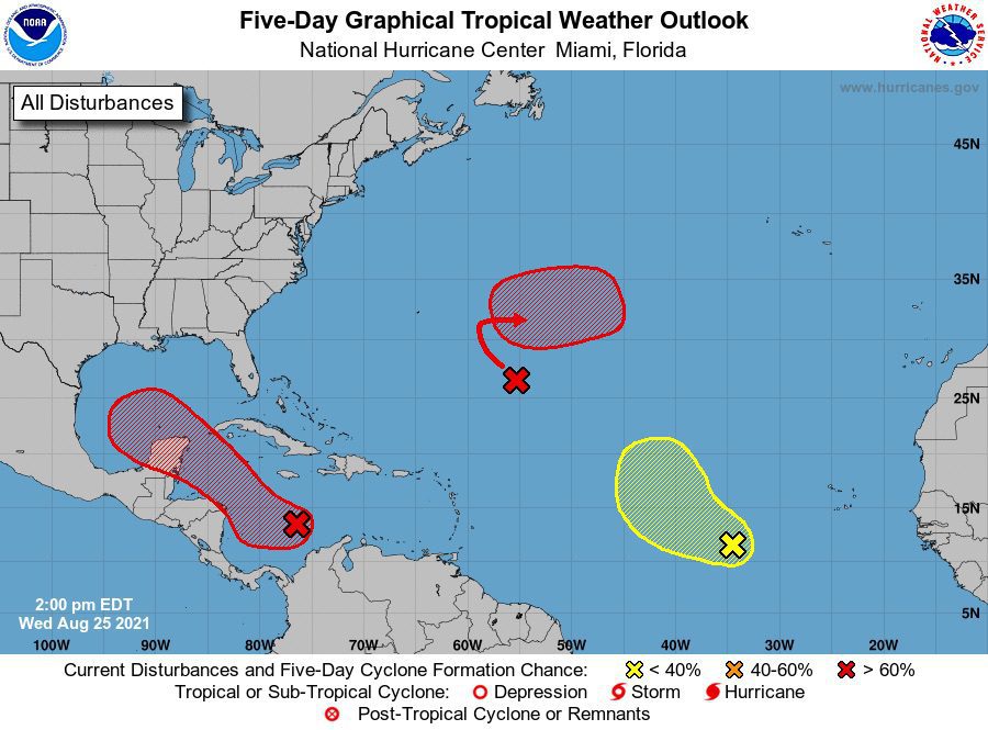
The National Weather Services’s National Hurricane Center says it is closely watching a broad area of low pressure that is forecasted to track into the
With five named storms on the books already this year, forecasters are continuing to call for an above-average Atlantic hurricane season as conditions remain
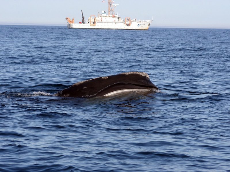
Most vessels are breaking speed limits to protect critically endangered North Atlantic right whales, threatening the extinction of the species, according to a
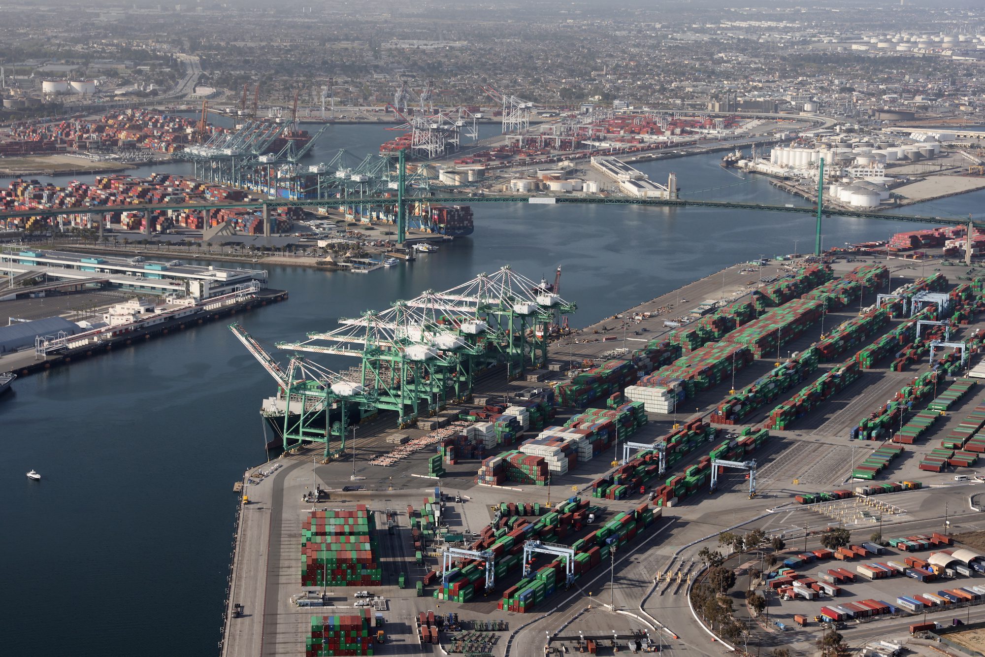
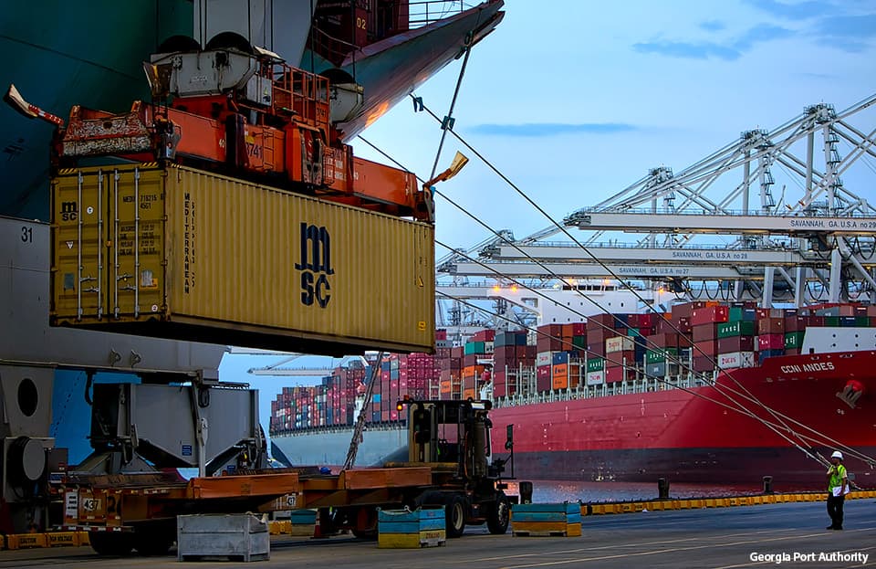
The U.S. government is set to release its first official estimate of the value of the nation’s marine economy, also known as the “blue economy.” NOAA
NOAA scientists are forecasting this summer’s Gulf of Mexico hypoxic area or “dead zone” — an area of low to no oxygen that can kill fish and other
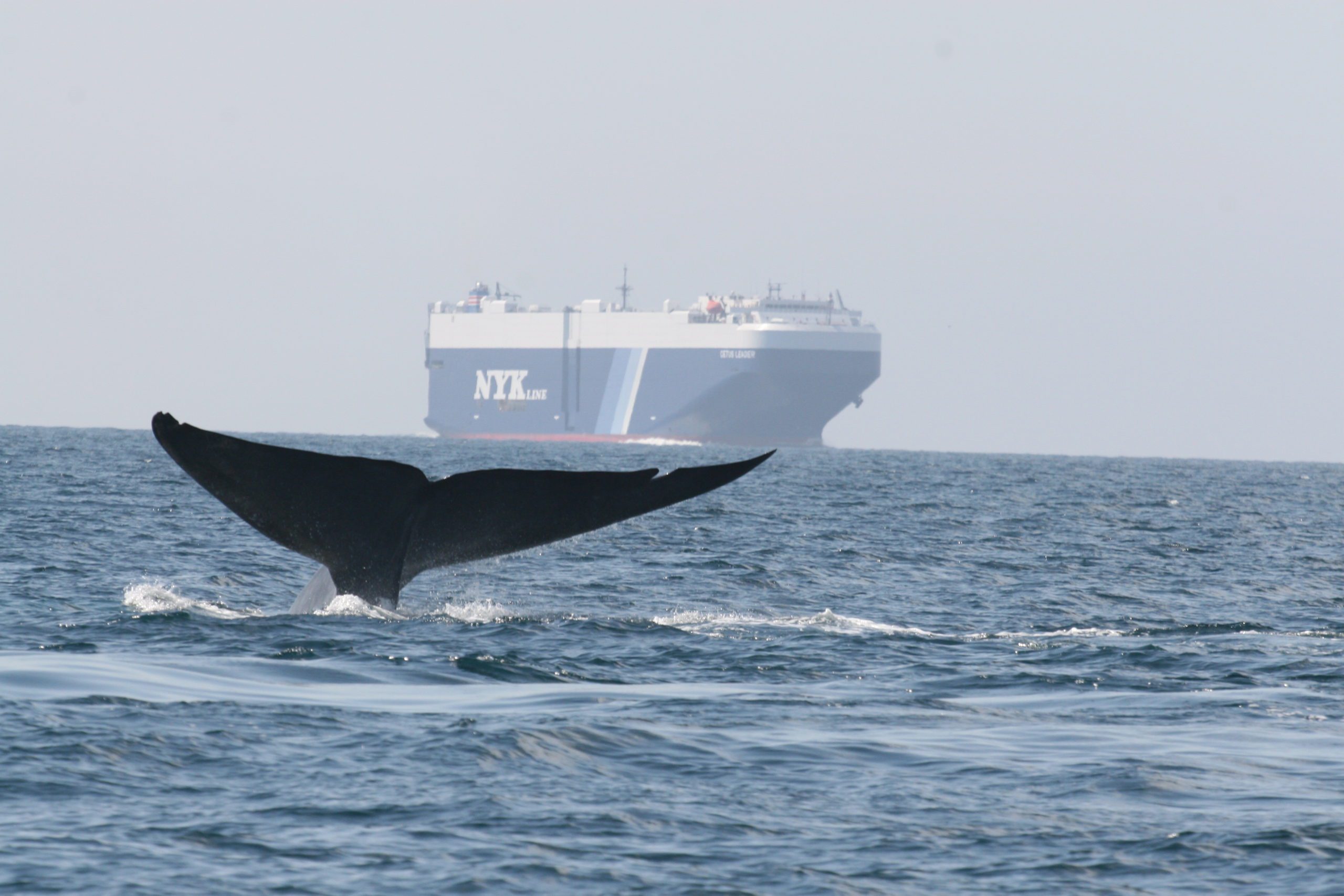
Program continues to expand and achieve greater environmental benefits The partners in an initiative to cut air pollution and protect endangered whales
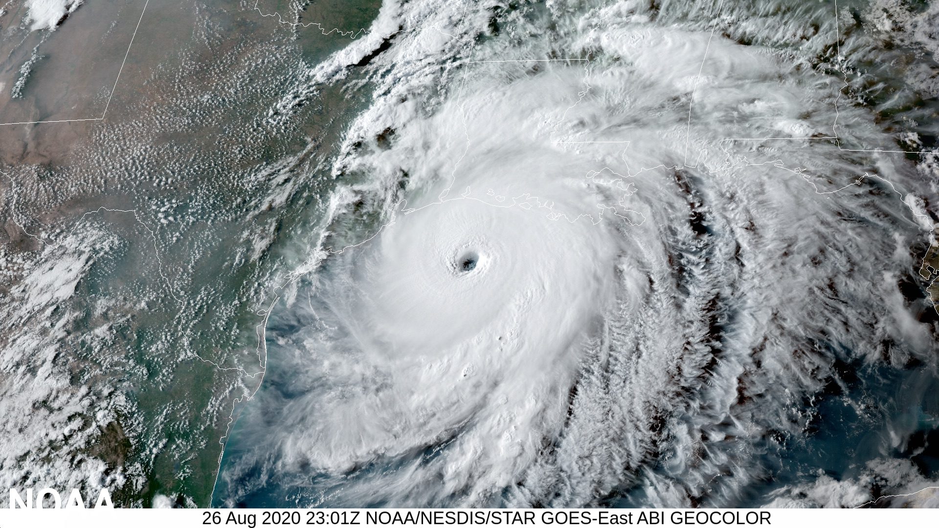
Forecasters with the U.S. National Oceanic and Atmospheric Administration (NOAA) are predicting another active Atlantic hurricane season this year, but the
A flood at the U.S. National Weather Service’s headquarters in Silver Spring, Maryland has knocked out power to servers processing NOAA’s marine
The U.S. National Oceanic and Atmospheric Administration is set to begin implementing its sunset plan for paper nautical charts as it transitions exclusively
NOAA is offering $30,000 in prizes to citizens who can help them better forecast changes in Earth’s magnetic field. The efficient transfer of energy from
The U.S. National Oceanic and Atmospheric Administration (NOAA) yesterday released its Blue Economy Strategic Plan for 2021-2025, laying out a roadmap for new
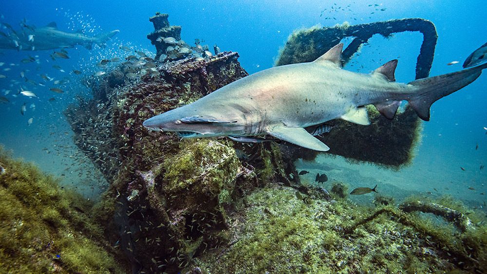
By NOAA – Shipwrecks are the stuff of epic tales and imagination. Some sank in battle, some in transit. They were war machines, whalers and luxury cruise

The Protecting Blue Whales and Blue Skies program gave awards to 15 global shipping companies for reducing speeds to 10 knots or less in the San Francisco Bay
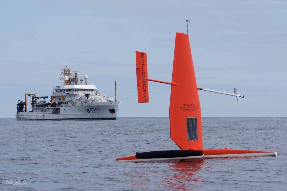
While the maritime world struggles with COVID-19, one industry segment continues to grow at a rapid pace: Marine Autonomy. With companies like the MIT startup,
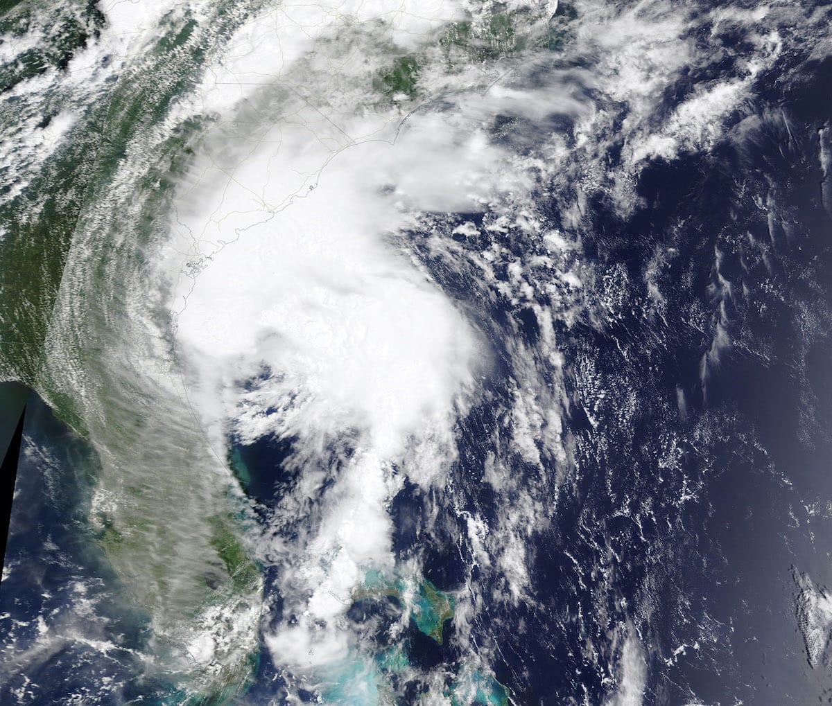
HOUSTON, Aug 6 (Reuters) – The U.S. National Oceanic and Atmospheric Administration (NOAA) on Thursday increased its prediction for the number of
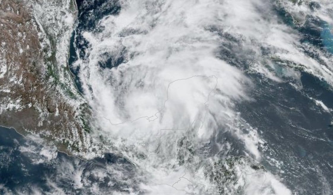
By Brian K. Sullivan (Bloomberg) –Tropical Storm Cristobal, now gaining strength in the southern Gulf of Mexico, could grow into a hurricane as it moves

The United States’ marine economy contributed about $373 billion to the nation’s gross domestic product in 2018 and grew faster than the nation’s economy
Essential maritime and offshore news, insights, and updates delivered daily straight to your inbox


Essential news coupled with the finest maritime content sourced from across the globe.
Sign Up
