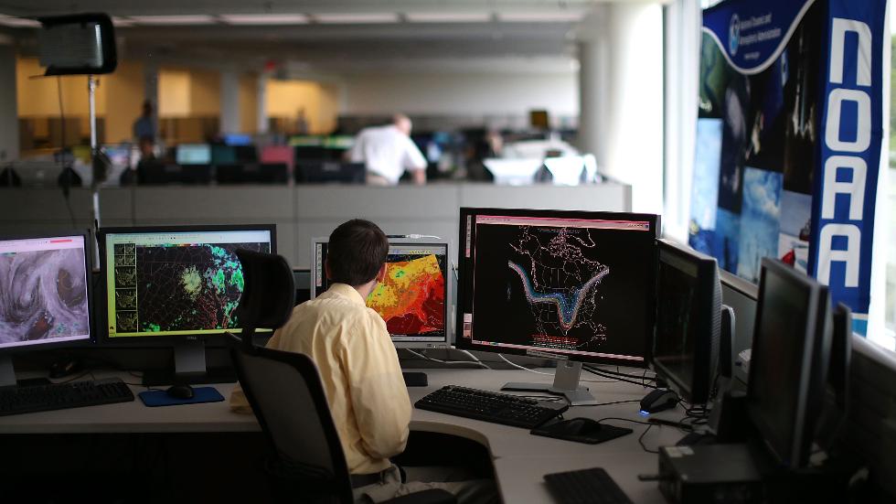
Meteorologist Tony Fracasso analyses marine weather data in NOAA’s Center for Weather and Climate Prediction, July 2, 2013 in Riverdale, Maryland. Image Via NOAA
by Brian K Sullivan (Bloomberg) In a week when heavy rains in Louisiana led to eight deaths and forced more than 20,000 people from their homes, the U.S. said it can now tap a supercomputer to better forecast flood events across all of the nation’s waterways.
The new tool will let forecasters target potentially life and property threatening downpours street by street, giving people more time to get out of harm’s way or prepare for the worst if they can’t as well as help relief ships navigate, said Thomas Graziano, director of NOAA’s Office of Water Prediction.
“It’s NOAA’s first foray into high-performance computing for water and marine weather prediction,” Graziano said in a telephone interview. “It’s going to provide information in all kinds of areas where we have none today. It’s a quantum leap forward.”
The new computer model will draw data from more than 8,000 U.S. Geological Survey sites to simulate 2.7 million locations in the 48 contiguous states, generating hourly river and stream forecasts, the National Oceanic and Atmospheric Administration said in a statement Tuesday. Earlier computer models only used 4,000 sites every few hours.
With the new system, forecasters can pinpoint floods as much as three days in advance, Graziano said. The model, when used with other forecasting systems, should be able to look out 10 to 30 days for potential storms that could cause flooding.
Hydro Blind
Since Aug. 8, 20.13 inches (51 centimeters) of rain has fallen on Baton Rouge, according to the National Weather Service, pushing rivers, streams and bayous to major flood levels. More than 20,000 people have been forced from their homes by the rains, which come on the heals of severe floods in Texas and West Virginia earlier this year.
“There are many parts of this country where we are hydro blind,” Graziano said.
The goal is to be able to predict potential floods days in advance. The model was developed along with the National Centers for Atmospheric Research, the Consortium of Universities for the Advancement of Hydrologic Sciences and the National Science Foundation, among others.
Chris Vagasky (The Conversation)–The National Hurricane Center’s forecasts in 2024 were its most accurate on record, from its one-day forecasts, as tropical cyclones neared the coast, to its forecasts five days into...
By Valerie Volcovici, Rich McKay and Leah Douglas WASHINGTON, Feb 28 (Reuters) – Scientists and researchers are warning that the Trump administration’s firing of hundreds of workers at NOAA, the agency that...
By Lauren Rosenthal and Brian K Sullivan Feb 8, 2025 (Bloomberg) –The email arrived in US government workers’ inboxes just after 1 a.m. East Coast time on Friday, with the subject...
February 9, 2025
Total Views: 7283
Get The Industry’s Go-To News
Subscribe to gCaptain Daily and stay informed with the latest global maritime and offshore news
— just like 105,227 professionals
Secure Your Spot
on the gCaptain Crew
Stay informed with the latest maritime and offshore news, delivered daily straight to your inbox
— trusted by our 105,227 members
Your Gateway to the Maritime World!
Essential news coupled with the finest maritime content sourced from across the globe.

 Join The Club