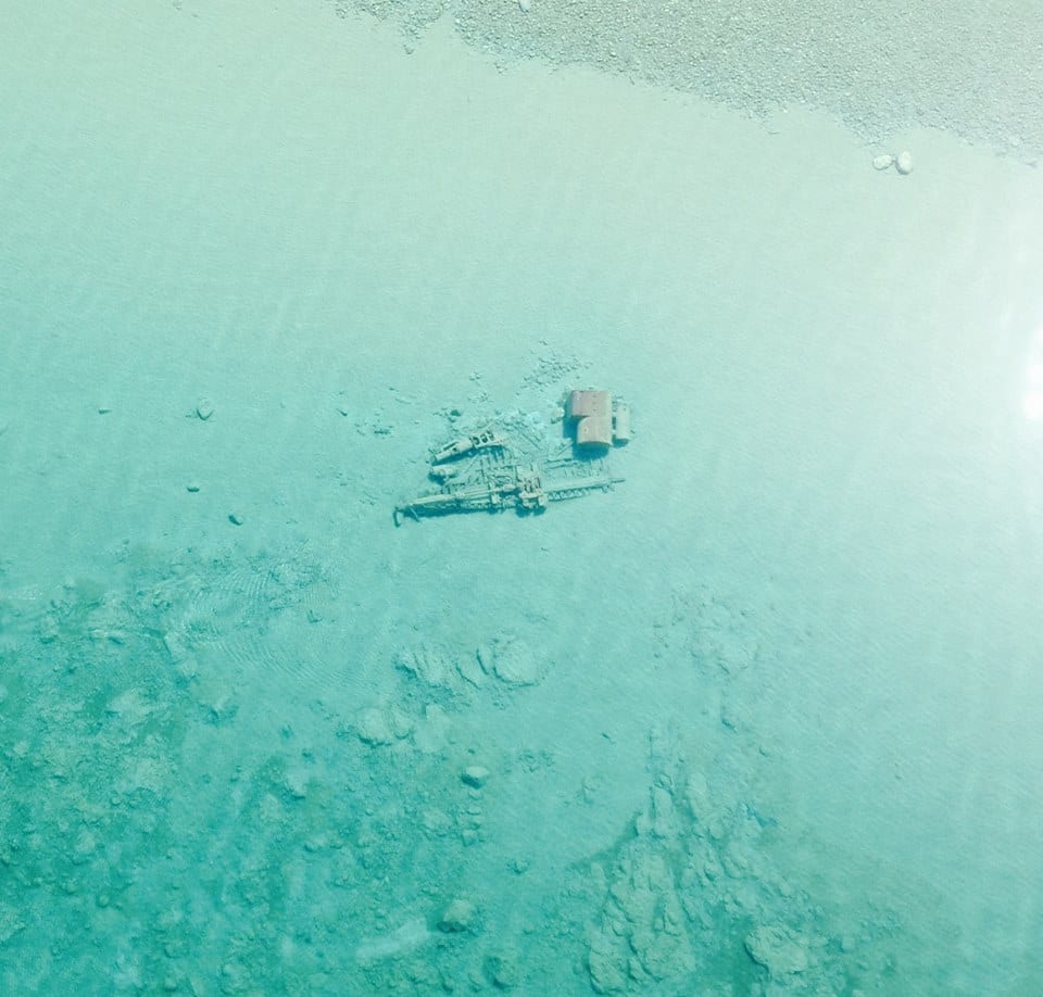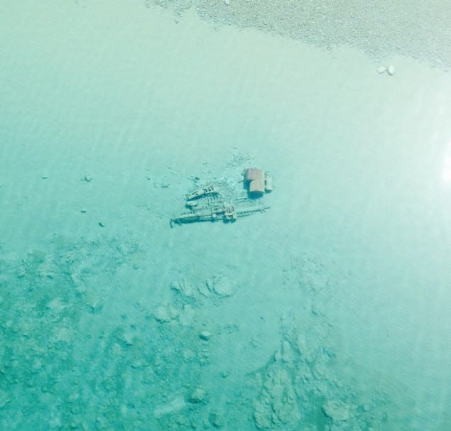
With winter ice cover gone, U.S. Coast Guard Air Station Traverse City took to the air last Friday to photograph some of the historic shipwrecks that dot the northern Lake Michigan shoreline.
The Coast Guard station said that photos were taken near Sleeping Bear Point northeast along the shoreline to Leland, Michigan up to Northport in what is known as the Manitou Passage Underwater Preserve.
Since posting the photos to the station’s facebook page on “shipwreck Sunday”, they have been picked up by over 140 media outlets across the world.
According to the Manitou Preserve’s website, the area was part of the booming shipping industry that supported Michigan’s lumber industry during its heyday in the late 19th and early 20th centuries. “It is also an area where ships have sought safety by attempting to ride out storms in the lee of the Islands. These activities have produced a substantial inventory of known and unknown shipwrecks,” its website says.
More on the preserve can be found HERE.
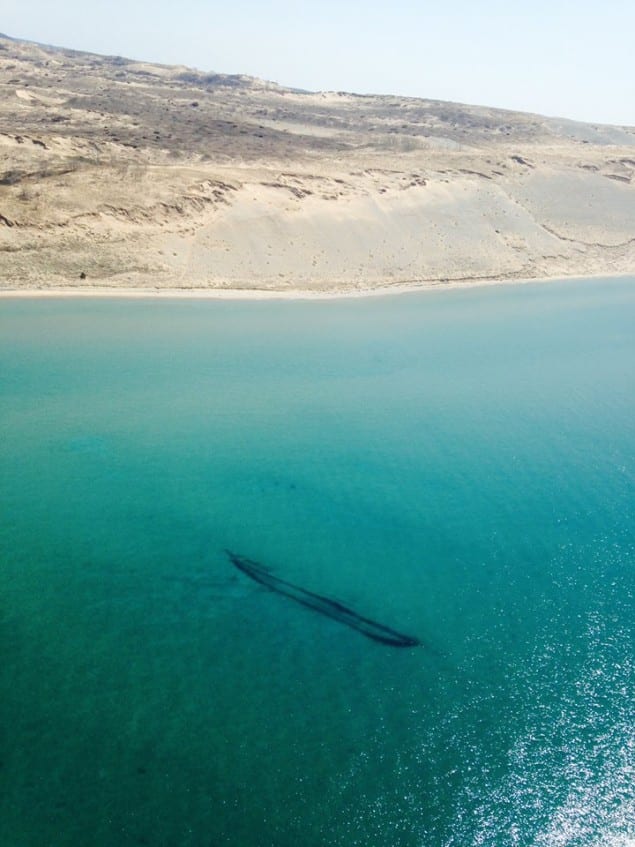
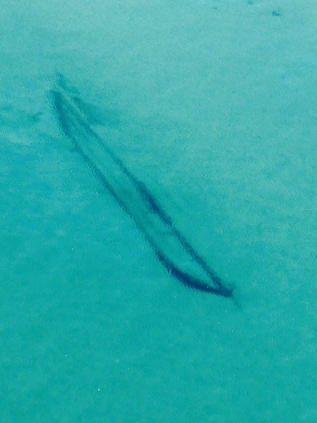
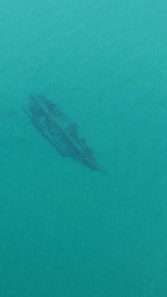
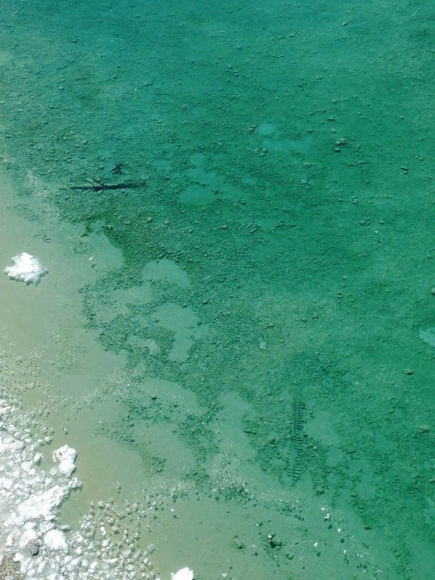
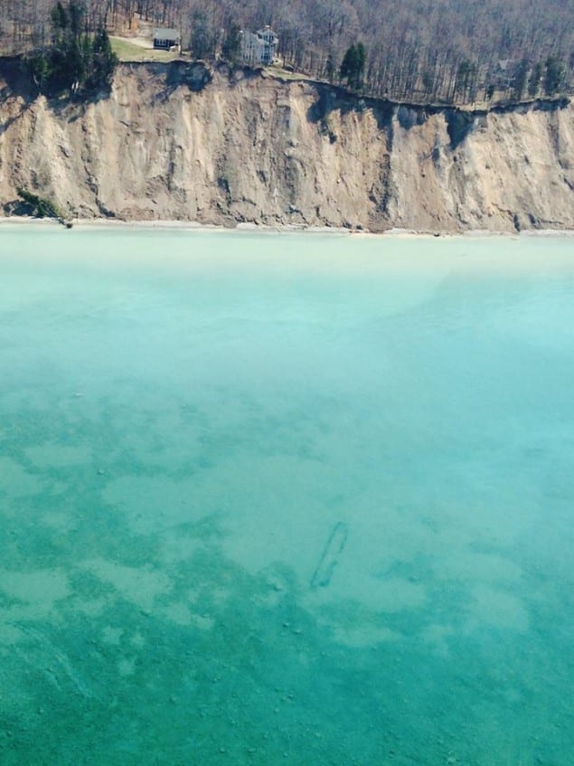
Photos courtesy U.S. Coast Guard Air Station Traverse City

 Join The Club


