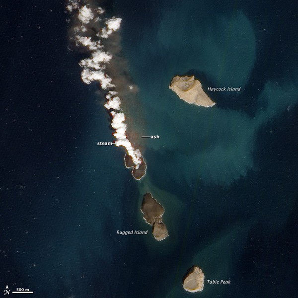
This new satellite image, acquired January 7, 2012, suggests that the eruption has risen nearly completely above water. A plume of steam, other volcanic gases, and ash spews from a distinct cone. The land surrounding the vent has grown, and is now about 530 by 710 meters (1,700 by 2,300 feet) across. Once above water, past eruptions in the Zubair Islands were primarily effusive, with relatively runny lava forming thin lava flows. In contrast to the fragmented rock that forms when lava interacts directly with water, lava that solidifies on land is tough, so this new island is likely to stick around.
A merchant ship passes by Haycock Island in the southern Red Sea, image (c) Robert Almeida PhotographyRagged Island, a volcanic island in the Zubair Island chain in the southern Red Sea, image (c) Robert Almeida Photography
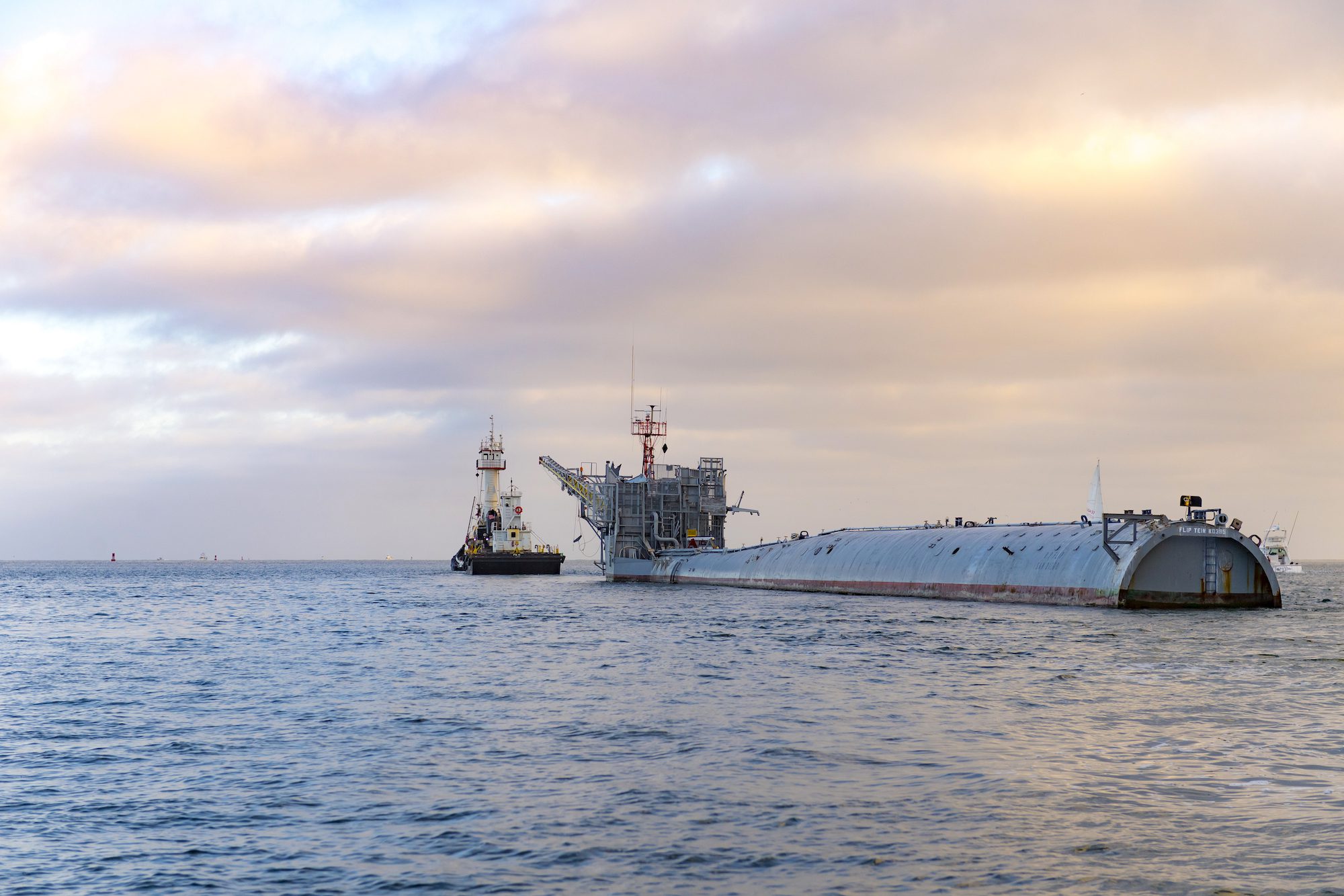
In a quiet corner of the Pacific last August, a vessel unlike any other was making what many thought was its final voyage. R/P FLIP (Floating Instrument Platform), the U.S....
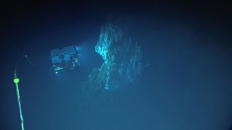
(NOAA)–This summer, take the plunge and join NOAA Ocean Exploration and partners as we explore along the longest mountain range in the world: the mid-ocean ridge. The Mid-Atlantic Ridge portion of this range spans...
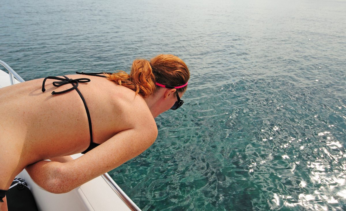
What is the definition of misery? Answer: Seasickness One of the first questions I get asked when a landlubber finds out I work at sea is, “Do you get seasick?” In...
June 1, 2020
Total Views: 47866
Get The Industry’s Go-To News
Subscribe to gCaptain Daily and stay informed with the latest global maritime and offshore news
— just like 104,523 professionals
Secure Your Spot
on the gCaptain Crew
Stay informed with the latest maritime and offshore news, delivered daily straight to your inbox
— trusted by our 104,523 members
Your Gateway to the Maritime World!
Essential news coupled with the finest maritime content sourced from across the globe.

 Join The Club