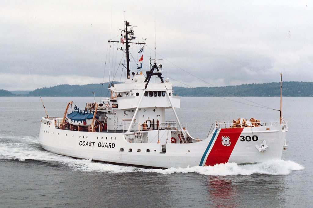
File photo shows the USCGC Citrus in 1984 after her conversion to a medium-endurance cutter following the 1979 allision with a submerged object in the Ouzinkie Narrows.
Life onboard the US Coast Guard Cutter Citrus (WLB 300), a 180 ft. ocean-going buoy tender was normal on Monday morning, 26 February 1979. Citrus was underway, steaming at 12 knots on the north side of Kodiak Island. Skies were clear and the weather pleasant for a February day. At 1734 their world, however, would change dramatically.
By early afternoon Citrus was heading back to Kodiak AK, returning to their homeport to drop off a fisherman whom they had rescued from a stranded fishing vessel. This return to Kodiak was an unexpected stop during what was a scheduled two week Aids to Navigation (ATON) mission in and around Kodiak Island.
At 1630 early chow was served for the watch relief, and in the Chief’s mess. Fresh coffee was brewing on the ship’s bridge, and the crew was in good spirits. Forty Coasties manned the Citrus, a cohesive family who spent months at sea with each other every year.
At 1700 Citrus was NW of Spruce Island, heading towards Ouzinkie Narrows, a deep channel which provides a short cut from Kizhuyak Bay to Chiniak Bay and then Women’s Bay and Kodiak harbor. Kodiak Island has many deep but narrow channels, as does much of Alaska. Sailing in Alaska requires local knowledge, and awareness of tides & currents is essential. Tidal range around Kodiak is 10-13 feet. Rocks, which are safe to sail over at high tide, can be lethal at low tide.
Coast Pilot #9 advises mariners to use caution transiting Ouzinkie Narrows, noting currents and shallows, shoals and rocks. NOAA chart 16594 has a separate insert detailing Ouzinkie Narrows because of its navigational challenges.
As Citrus approached the narrows they met a west bound fishing vessel coming through and agreed to a one whistle, port to port, passage. At 1732 the two vessels safely passed each other with a 75-yard CPA. At this time Citrus was 50 yards to the right of her intended track. A course change of 4 degrees left was recommended by the Navigator, but not executed. Sunset would occur at 1734, and so Citrus’s running lights were energized.
At 1734 a new fix was being taken when Citrus’s port side collided with a solid rock ledge. Steaming at 12 knots this impact tore open Citrus’s hull, allowing the sea to pour in, flooding her main hold, dry stores, magazine, and crew’s berthing. She was flooding so fast her crew was certain Citrus would sink right there in the narrows.
Citrus’s Commanding Officer, realizing he had only minutes in which to save his vessel and crew, drove Citrus up on the beach on the south side of Ouzinkie Narrows. A distress call went out and immediately other Coast Guard and civilian vessels came to her aid. USCGC Storis sortied from Kodiak and USCGC Sweetbrier sailed from Cordova.
Storis pulled up alongside Citrus to keep her from rolling onto her side, and every pump that could be found was set up to dewater Citrus’s flooded spaces. Problems abounded; P250 pumps clogged and failed. Suction distances were too high, and prime was lost. Submersible electric pumps failed, due to leaking gaskets, failure in seals and faulty electrical connections. Insufficient and improperly sized damage control lumber slowed patching and repairs. Despite these challenges and frustrating setbacks, Citrus’s crew kept their ship upright, slowly stopping the flooding, and saved their ship.
Why did Citrus hit this rocky ledge? A combination of small but significant factors. Her SPS-23 radar was old and unreliable. Ranges and bearings did not provide accurate fixes. Her WW II era gyro had an error, and errors were difficult to remove. Buoy Tenders were not equipped with forward looking or side scan sonar, only basic depth sounders, and so depth readings were only useful after you had passed over a location.
Navigation was often conducted by seaman’s eye, which is acceptable when there is sufficient information to allow a conning officer to make reasoned and articulate decisions. But in Alaskan waters, known to have uncharted rocks, ledges, and hazards, seaman’s eye may not be sufficient.
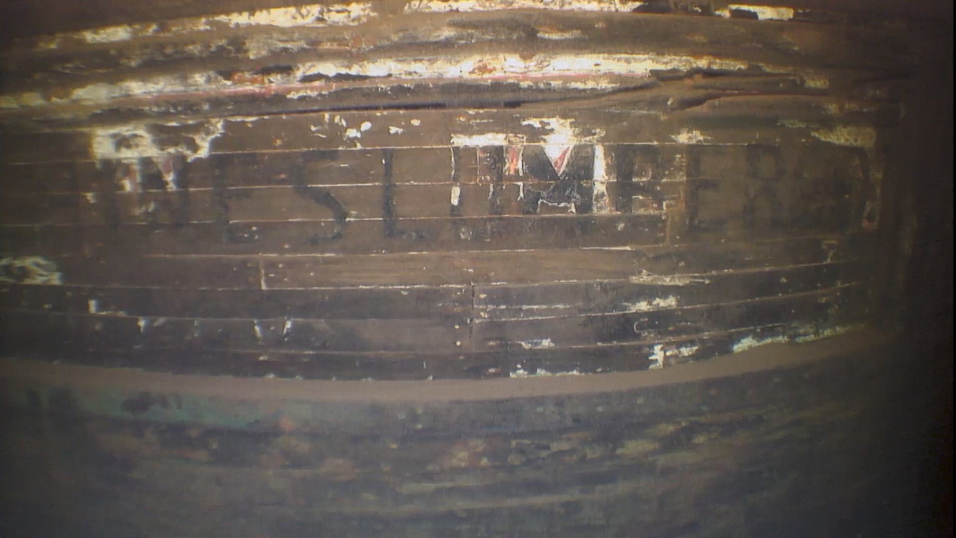
I was assigned as a deck watch officer onboard the USCGC Sweetbrier when Citrus grounded. Sweetbrier provided pumps & damage control assistance to the Citrus, and I conducted a SCUBA dive at the location where Citrus tore open her hull. I saw the massive damage done to the rock ledge. Citrus’s bottom paint covered the entire ledge and broken rocks abounded. Kelp had been torn from the rocks leaving the ledge bare. The damage was extensive, appearing as if a bulldozer and come across the area.
A subsequent Coast Guard Investigation stated “the primary cause of the grounding was the inattention of the Commanding Officer to the safe navigation of his vessel in that he did not fully realize the limitations of his crew and equipment, or, if the did he was not aware of the consequences that could occur as a result of these limitations.”
This conclusion is surely correct, but too simplistic. Every bridge officer makes judgments and decisions using limited & often flawed information. You will rarely make a decision with a guarantee of it being 100% correct. We use our training, our experience, our knowledge and our ability to reason and think (to separate fact from fiction) to execute our duties and responsibilities. On occasion things go wrong, or not as planned. If we examine these incidents, share knowledge learned and embrace facts, we can improve and prevent other similar incidents.
After Citrus’s grounding the Coast Guard established a new aid to navigation at the west entrance to Ouzinkie Narrows, Green Buoy #5, Flashing G 2.5s, which marks this ledge. They also equipped their buoy tenders with new radars, gyros, and side scan forward looking sonar. Coast Guard and commercial vessels now transit Ouzinkie Narrows with little fear of hitting this once unmarked ledge.
Editorial Standards · Corrections · About gCaptain

 Join The Club