
 Join The Club


Sponsored
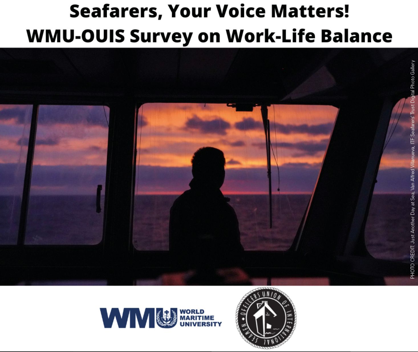
Seafarers – Your Voice Matters!
ATTENTION SEAFARERS! Your Voice Matters. Take the RWMU-OUIS Work-Life Balance Survey.


It is hard to think about any part of our everyday lives that has not been changed by the digital and data revolution. The same is true for the global shipping industry, with digitalisation and smart use of data playing a crucial role in shaping the future of the global economy.
Perhaps the most profound way in which this big data will impact the maritime industry is by building resilience. The shipping industry, global supply chains and the entire marine economy is facing its fair share of disruptions and challenges. From shaping our response to the current COVID-19 pandemic, to the challenges of safe navigation, blue economic growth, climate change and ocean stewardship, marine data will be at the heart of the solutions that enable us to tackle these challenges.
At the UK Hydrographic Office, we are in a privileged position to help directly mould and adapt the developments in digital and data science and help apply them in real-world situations, both in the shipping industry and in the wider Blue Economy.
Many governments and marine organisations around the world are recognising that the ocean is critical to many aspects of our day-to-day lives. As an island nation, we in the UK have over 90% of our physical imports arrive by sea. Around the world, the food we eat, our energy needs, coastal infrastructure and many of our livelihoods depend on our marine sector. Technological innovation, fuelled by data to help build sustainability and resilience, will therefore be crucial.
To enable the maritime industry to build technologies and interact with our oceans in a way that guarantees sustainability, innovation will be key. Many industries see data as the fuel for innovation, and this goes hand in hand with building the foundations for a modern, resilient maritime industry.
Geospatial data is one area that is having a profound impact in shaping the future of the maritime industry. This data is unlocking the potential for the marine industry to grow in a balanced and sustainable way.
As part of this transformation, the field of geospatial data is undergoing one of the greatest technological developments in terms of how we collect data. With cutting-edge LiDAR and Satellite-Derived Bathymetry, we are significantly increasing the pace and scale with which we can collect data with a high degree of accuracy. This enables the development of digital twins, merging the once contrasting domains of land and sea.
Furthermore, with autonomous surveys, we are adding a new technological edge to how we conduct surveys, allowing us to be quicker, more consistent and potentially more cost-effective. We are also developing machine learning algorithms as part of the data cleansing process which could help us to increase the efficiency of data processing.
A big part of the puzzle that will unlock the potential of this data within the marine economy is ensuring that the innovation in the collection, analysis and dissemination is translated to provide tangible benefits.
For example, improved location-based geospatial data will unlock safer navigation options for vessels and at speeds optimised for tidal streams. This can streamline shipping operations and potentially reduce CO2 emissions. For coastal nations, geospatial data can support coastal defence projects against the impact of climate change, as well as supporting their ocean economies. This data can also support the growth of our economies and develop infrastructure whilst protecting delicate marine environments.
Bringing the benefits of geospatial data to the front line of the marine industry depends on strong collaboration between the members of the industry. We are already seeing strong collaboration between governments, NGOs and the global hydrographic community through multilateral agreements and initiatives such as the UN’s Decade of Ocean Science for Sustainable Development. Many of the challenges we face are global in nature and our response is rightly a collective endeavour, working in partnership and sharing information.
There is a bright future for the role of accurate and reliable marine data, and the UKHO is at the heart of it, working alongside the hydrographic community and at the side of the mariner. The hallmark of its potential is all about building resilience and realising opportunity, both now and in the future.
Sign up for gCaptain’s newsletter and never miss an update
Essential maritime and offshore news, insights, and updates delivered daily straight to your inbox
ATTENTION SEAFARERS! Your Voice Matters. Take the RWMU-OUIS Work-Life Balance Survey.
Vessels are critical to our economy, with over 80% of the world’s trade facilitated by the maritime industry. The average container ship measures approximately four football fields, carrying about 15,000...
In an era where unpredictability has become the status quo, the logistics industry stands at the crossroads of some of the most significant challenges and opportunities it has faced in...
Subscribe to gCaptain Daily and stay informed with the latest global maritime and offshore news


Essential news coupled with the finest maritime content sourced from across the globe.
Sign Up
