Chief Customer Officer Cathrine Armour explains how the UKHO has adapted and evolved with the continued digitalisation of the maritime industry.
The effects of the current world health and economic situation has been undoubtedly challenging for the maritime industry. During this time, building resilience and continuing to deliver for customers and partners across the globe has never been more crucial.
But in the face of such challenges, it has been heartening to see the innovation and creativity fostered by companies to enable them to deliver their essential services with minimal disruption. Playing a central role to this innovation is digitalisation – with new ways of working made possible by digital technology.
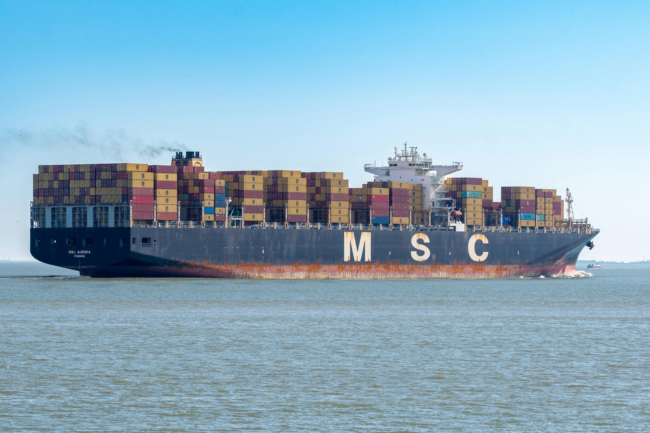
For us at the UK Hydrographic Office (UKHO), our essential services include supporting safe navigation for our customers around the world. We do so through our portfolio of ADMIRALTY Maritime Data Solutions, carried on board more than 90% of ships trading internationally, which play a vital role in supporting Safety of Life at Sea (SOLAS). With the transport of goods, materials and resources fundamentally reliant on shipping, enabling the safe passage for crews and cargo throughout the pandemic has been integral to workflows and processes.
But even prior to the current pandemic, the maritime industry has experienced an evolution in technology over the past decade. Digitalisation, in particular, has fundamentally changed the way we operate and deliver information to our customers; similarly, it has transformed the way we support other organisations as they fulfil their own services. We have seen first-hand the benefits of adopting new technology and processes – from greater reliability to improved ways of working – and wholeheartedly welcome the wider adoption and acceleration of digital-first working across the industry.
The benefits of digitalisation can be seen distinctly in the digital transition of navigational charts. For centuries, mariners relied upon paper charts for navigation, but transitioning to digital alternatives has not only improved accuracy, availability and trust, but has also hugely enhanced navigational capabilities. Now, chart users are able to use this same information in new ways, mirroring a trend that is taking place across the entire sector towards smarter, digitised operations.
In line with this, we have adapted our solutions to align with these new ways of working and meet the changing needs of users. As an example, we have evolved our ADMIRALTY Vector Chart Service (AVCS) into a shore-based version: AVCS Online. The platform provides shore-based users and fleet planning teams access to images from more than 16,000 Electronic Navigational Charts (ENCs), updated weekly, to support vessel tracking, voyage planning and for use in accident and emergency incidents.
To ensure our services evolve alongside the industry’s needs, we have also developed AVCS Online Web Map Service (WMS), which reflects the demand from shore-based teams for a way to access AVCS from their office. Meeting the needs for navigation-centric, shore-based decision-making, AVCS Online WMS can be developed as a standalone maritime solution or it can be integrated into existing web-based systems as a navigational information layer, optimising on-shore planning and support. The development of web map services utilising marine data, such as AVCS Online WMS, can not only bring greater efficiencies to onshore management, but considerable savings too.
But there is an even wider range of decisions across the industry that can be enabled and informed by marine geospatial data. With the petabytes of data we make available, we believe that this can underpin wider growth and sustainable development of the blue economy. That is why we were proud, at a critical time for our oceans, to be able to convene industry experts to debate on these topics during our Blue Data Conference last month.
Across our sector, we are seeing incredible work being done to promote the use of accurate and trusted marine geospatial data – from key advances in sustainable development and the blue economy, to the steps being taken to enable new data standards and full vessel autonomy. Although diverse in nature, each of these trends reflects the growing acceleration towards harnessing digitalisation in the maritime industry and unlocking the potential of data across wider ocean industries.
By continuing to engage and collaborate with our distributors, partners and the wider maritime community, we believe combining the power of marine geospatial data with technological advancement could be truly transformative for all those that depend on our oceans. As we move forward from the challenges of 2020, and as a new decade dawns, we hope to realise a smarter future for shipping, and safer, more sustainable use of the marine environment.
Sign up for our newsletter

 Join The Club