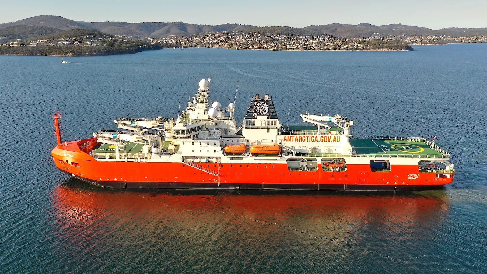
An Australian Transport Safety Bureau (ATSB) preliminary report has provided new detail on last year’s incident involving Australia’s Antarctic research and supply icebreaker RSV Nuyina, confirming the ship briefly grounded near Heard Island—clarifying earlier descriptions of the event as a minor seabed contact.
The incident occurred on October 13, 2025, as Nuyina operated close to shore conducting drone survey work near Fur Seal Beach, roughly 4,000 kilometers southwest of Perth. At the time, initial statements from operator Serco and the Australian Antarctic Division described the event as a light contact with the seabed with no impact to vessel operations.
The ATSB report now outlines a more complete sequence showing the vessel made bottom contact with both its retractable drop keel and hull before clearing the area.
According to ATSB Chief Commissioner Angus Mitchell, the vessel was operating with its drop keel extended approximately 75 centimeters below its nominal 9-meter draft. The keel housed scientific equipment, including a high-resolution multi-beam echo sounder that remained active following overnight seabed mapping operations.
To avoid interference with the survey equipment, the ship’s navigational echo sounders had been switched off. While the multi-beam system continued to provide depth data, that information was not integrated into the vessel’s electronic chart display and information system (ECDIS), meaning it was not visible on the primary navigation display or capable of triggering automated shallow-water alarms.
ECDIS screenshot from the ATSB report shows Nuyina’s recorded track (black) diverging from the intended route (yellow), with the vessel following a pre-set bearing line toward an unsurveyed area before grounding near Heard Island.
The grounding occurred as the vessel repositioned about five nautical miles to the northwest following survey operations. The master had planned the route using the aft ECDIS station, but the route did not display on the forward ECDIS used for navigation. As the master worked to resolve the issue, the second officer continued the transit using a pre-existing electronic bearing line that had been used earlier during drone operations along the coastline.
That track led the vessel through a narrow corridor between a charted bank and an adjacent area of uncharted seabed—an area where hydrographic data was incomplete.
Warnings of decreasing depth came from the acoustics operator monitoring the multi-beam system, including a reported depth of about 15 meters followed shortly by a second alert indicating rapidly shoaling water. The master ordered engines stopped and then slow astern, but the vessel grounded moments later.
The drop keel made initial contact with the seabed before the hull also touched bottom. The vessel quickly freed itself and drifted clear of the area before regaining position.
Damage was primarily limited to the drop keel and its mounted scientific instruments, some of which were damaged or lost. The hull sustained only minor scraping and paint damage, consistent with earlier assessments that the vessel remained seaworthy.
Following consultation with authorities and technical experts ashore, Nuyina continued its Antarctic mission, including a scheduled resupply at Davis Station, before returning to Hobart.
The ATSB emphasized that the preliminary report contains no formal findings or conclusions. Investigators have conducted crew interviews and reviewed voyage data, CCTV footage, operational procedures, and bathymetric information. The final report will examine contributing safety factors, including bridge resource management, navigation system integration, and operational decision-making.
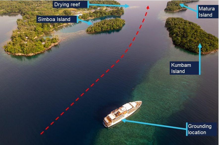
An Australian expedition cruise ship grounded on a reef while approaching a remote harbor in Papua New Guinea after a last-minute route modification in the ship’s electronic navigation system delayed...
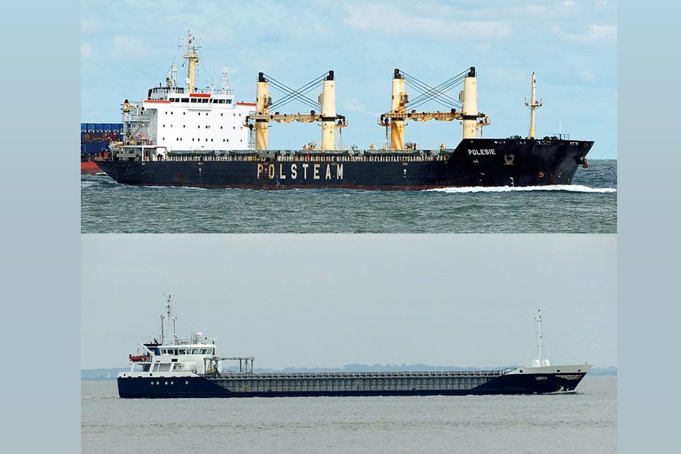
Five sailors are dead because no one acted in time. A final investigation into the German Bight collision that sank the cargo ship Verity finds basic collision rules were ignored, decisive maneuvers were delayed, and shore-side intervention came too late to stop a preventable tragedy.
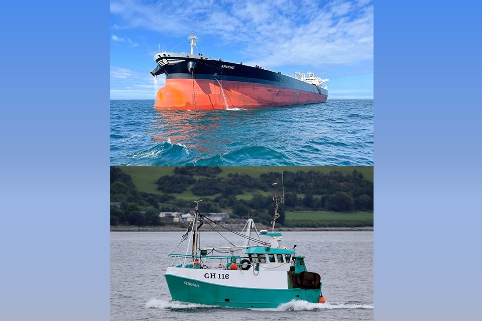
A collision between a crude oil tanker and a fishing trawler in Scotland’s Firth of Clyde has sparked renewed calls for mandatory navigation training for small fishing vessel crews, after investigators found that a lack of formal training and flawed assumptions on both bridges nearly proved fatal for three fishermen.
February 5, 2026
Total Views: 2670
Get The Industry’s Go-To News
Subscribe to gCaptain Daily and stay informed with the latest global maritime and offshore news
— just like 107,344 professionals
Secure Your Spot
on the gCaptain Crew
Stay informed with the latest maritime and offshore news, delivered daily straight to your inbox
— trusted by our 107,344 members
Your Gateway to the Maritime World!
Essential news coupled with the finest maritime content sourced from across the globe.

 Join The Club