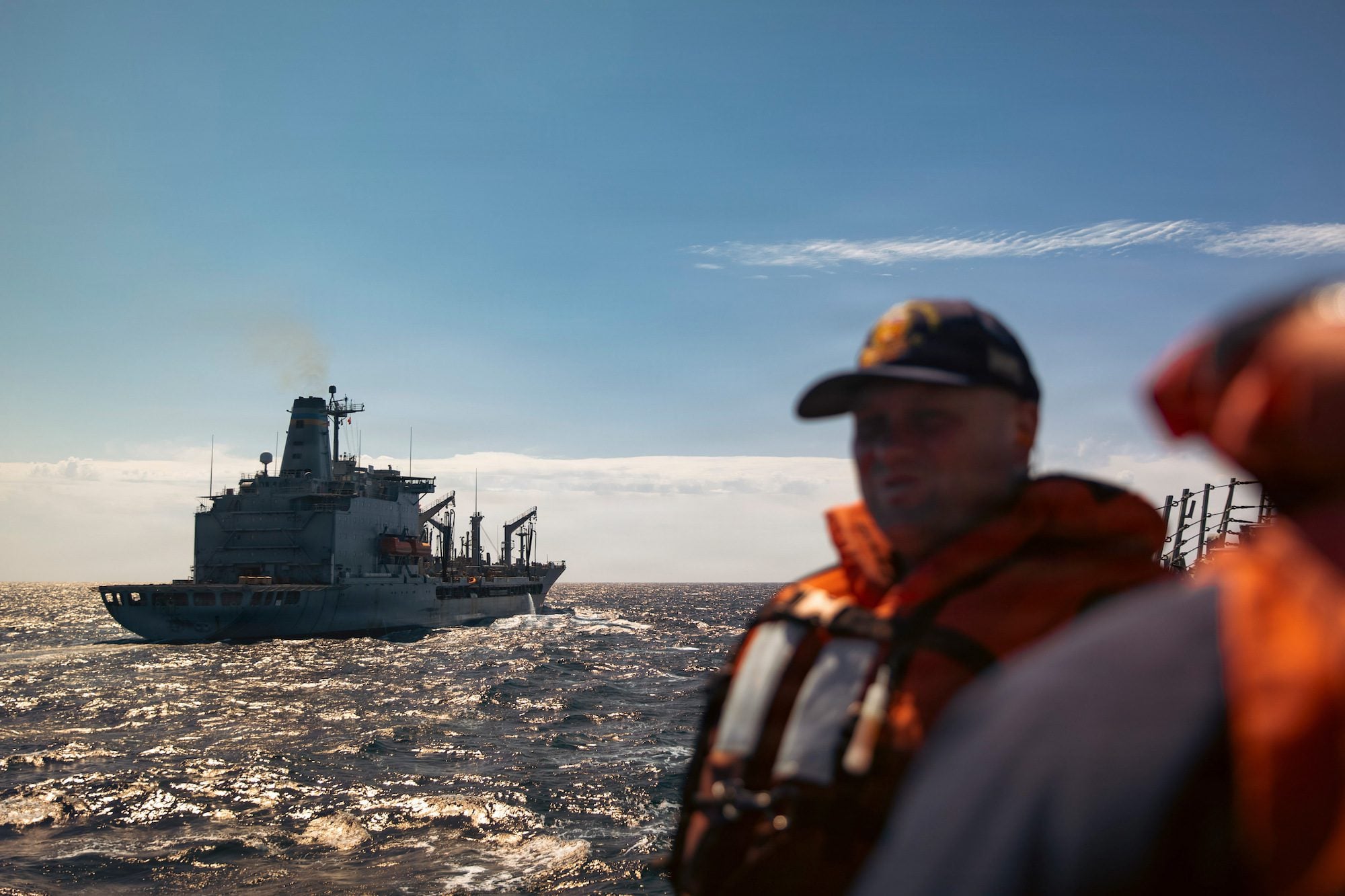
USNS Bowditch (T-AGS 62) US Navy file photo
Besides obliterating entire villages, killing thousands, and otherwise creating an incredible mess of the Philippines, Super Typhoon Haiyan and its resulting storm surge wreaked havoc to a large swath of area that cannot be seen by any photo in any newspaper.
It literally changed the profile of the sea floor.
Had the U.S. Navy not taken this into account, their relief effort involving vessels serving as launch points for the airborne assault of medical supplies, food, water and other aid may have been hampered by those vessels running aground on sand bars or other obstacles on their now obsolete chart data.
Enter the Military Sealift Command-operated USNS Bowditch (T-AGS 62), a U.S. Navy vessel purposely built to survey the seafloor, and one of the first vessels on scene in the Philippines. This ship was actually anchored in the Philippines immediately before the storm hit and had sortied in advance.
Bob Freeman from the Office of the Oceanographer of the Navy notes in a Navy press statement that the Bowditch “began immediately surveying the approaches to San Pedro Bay to ensure naval relief efforts [were] conducted safely, and Navy ships [could] get as close to land as possible.” The ship was tasked to survey from the 200 meter depth line in towards the shore of San Pedro Bay.
“We performed similar roles in the 2004 Banda Aceh tsunami and the 2010 earthquake that devastated Haiti,” explained Chris Kent, deputy operations officer for the Naval Meteorology and Oceanography Command. “In both cases, Navy survey ships and aircraft went in first to chart the approaches.”
Freeman continues:
Bowditch is one of six Pathfinder-class ships with an all civilian crew of professional mariners and scientific support personnel. With a 329 foot length and a 58 foot beam, the ship displaces 4,762 long tons.
In a recent interview with the Navy’s CHIPS magazine, Rear Adm. Brian Brown, commander of the Naval Meteorology and Oceanography Command, described the survey ship capabilities. “These ships have modern full ocean depth multi-beam and single-beam sonar systems for accurately measuring bottom depths and features, towed side-scan sonar systems for acoustic imaging of bottom features and navigation hazards, ocean current profilers, sub-bottom profilers for measuring stratification of seabed sediments, and over-the-side devices that collect physical ocean parameters such as temperature and salinity with depth.”
Bowditch also carries two 34 foot long hydrographic survey launch for shallow water surveys. Complemented with wide-beam echo sounders and side-scan sonar, these boats will be essential for preparing the approach for the amphibious ships that will bring the Marines ashore.
“The Navy’s survey ships are a little-known but critical asset for the Navy,” said Rear Adm. Jonathan White, Oceanographer of the Navy and resource sponsor for the survey ships. “Their work contributes to the creation of accurate navigation charts in all the world’s oceans, and helps ensure safety of navigation. They have no home ports and are continuously deployed around the world, stopping only for necessary maintenance work. They are truly a national asset,” he added.
Updated: November 18, 2020 (Originally published November 19, 2013)
Editorial Standards · Corrections · About gCaptain

 Join The Club