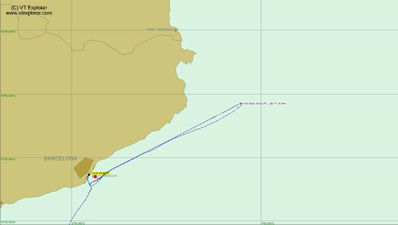
Shown above, AIS provider VT Explorer plots the cruise ship Louis Majesty’s path as it encountered rough sea’s on March 3rd, 2010 (click image for high resolution). VT Explorer tells us:
An abnormally high waves (6-8 m) hit the cruise ship “Louis Majesty” (former “Norwegian Majesty”) carrying 2000 people in the Mediterranean sea on March 3rd, 2010. The waves have smashed glass windshields killed two and wounded fourteen passengers according to the official news reports. The killed passengers were identified as a German and an Italian man.
“Louis Majesty” was sailing from Barcelona to Genoa.According to our archive records the accident has happened on March 3rd, 14:20 UTC around the following location.
Latitude: 41°55′ N Longitude: 3°47′ E
As you can see from video of the incident below, weather was the likely cause of the high waves. Buoy data off the French coast reported winds reaching 45 mph.
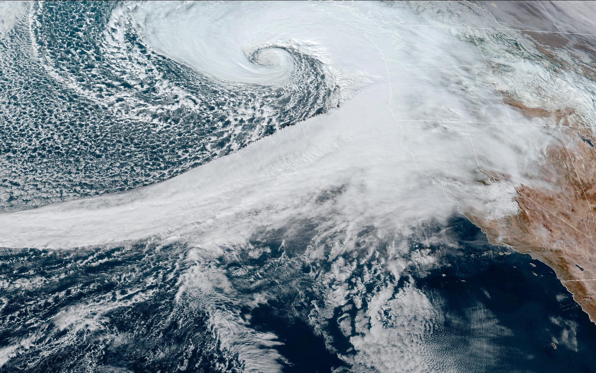
A rapidly intensifying weather system, known as a “bomb cyclone,” has developed off the U.S. West Coast, creating perilous conditions for mariners and coastal communities in the Pacific Northwest. The...
A powerful weather system is set to explode off the U.S. West Coast, bringing with it hurricane-force winds and massive wave heights. The rapidly intensifying low-pressure system is expected to...
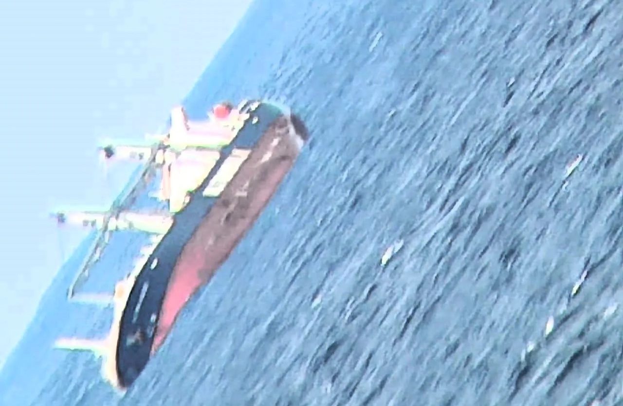
(Bloomberg) — Storms pounded South Africa’s coastline for a fourth day on Wednesday, disrupting shipping operations, with massive swells forcing the evacuation of a cargo ship. State-owned port operator...
July 10, 2024
Total Views: 3930
Get The Industry’s Go-To News
Subscribe to gCaptain Daily and stay informed with the latest global maritime and offshore news
— just like 104,541 professionals
Secure Your Spot
on the gCaptain Crew
Stay informed with the latest maritime and offshore news, delivered daily straight to your inbox
— trusted by our 104,541 members
Your Gateway to the Maritime World!
Essential news coupled with the finest maritime content sourced from across the globe.

 Join The Club