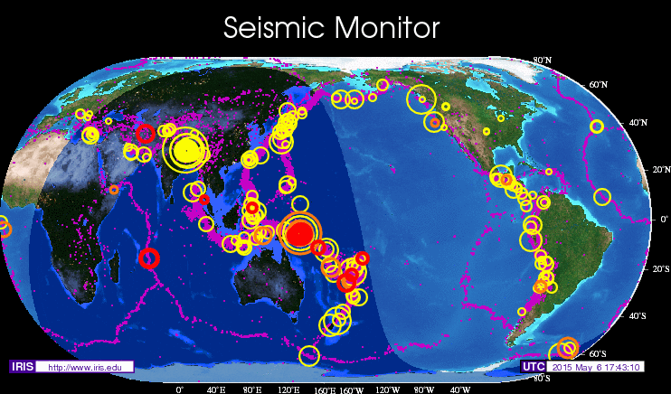
Earthquake Rocks England – Live Data
The AP tells of an earthquake at 18:05GMT today located at 125 miles north of London England:
An earthquake struck Britain early Wednesday and was felt across large parts of the country. No injuries or damage were immediately reported.
The 4.7-magnitude quake struck at about 1 a.m. and was centered about 125 miles north of London, according to the U.S. Geological Survey.
“It was like a huge freight train outside the front door,” Sky News reporter Lukwesa Burak reported from Leicestershire in central England. “The entire house seemed to shake.”
Live Earthquake Maps:

Google Earth – Past 2 Weeks Data
Live Earthquake data – past 2 weeks
If your looking for the latest information try these links:
- gCaptain’s Live Earthquake Data and Maps
- Live Seismic Monitor Europe
- Now Public | Earthquakes – Live User Generated News
- Live Seismogram readings

Subscribe for Daily Maritime Insights
Sign up for gCaptain’s newsletter and never miss an update
— trusted by our 108,902 members

Get The Industry’s Go-To News
Subscribe to gCaptain Daily and stay informed with the latest global maritime and offshore news

 Join The Club


