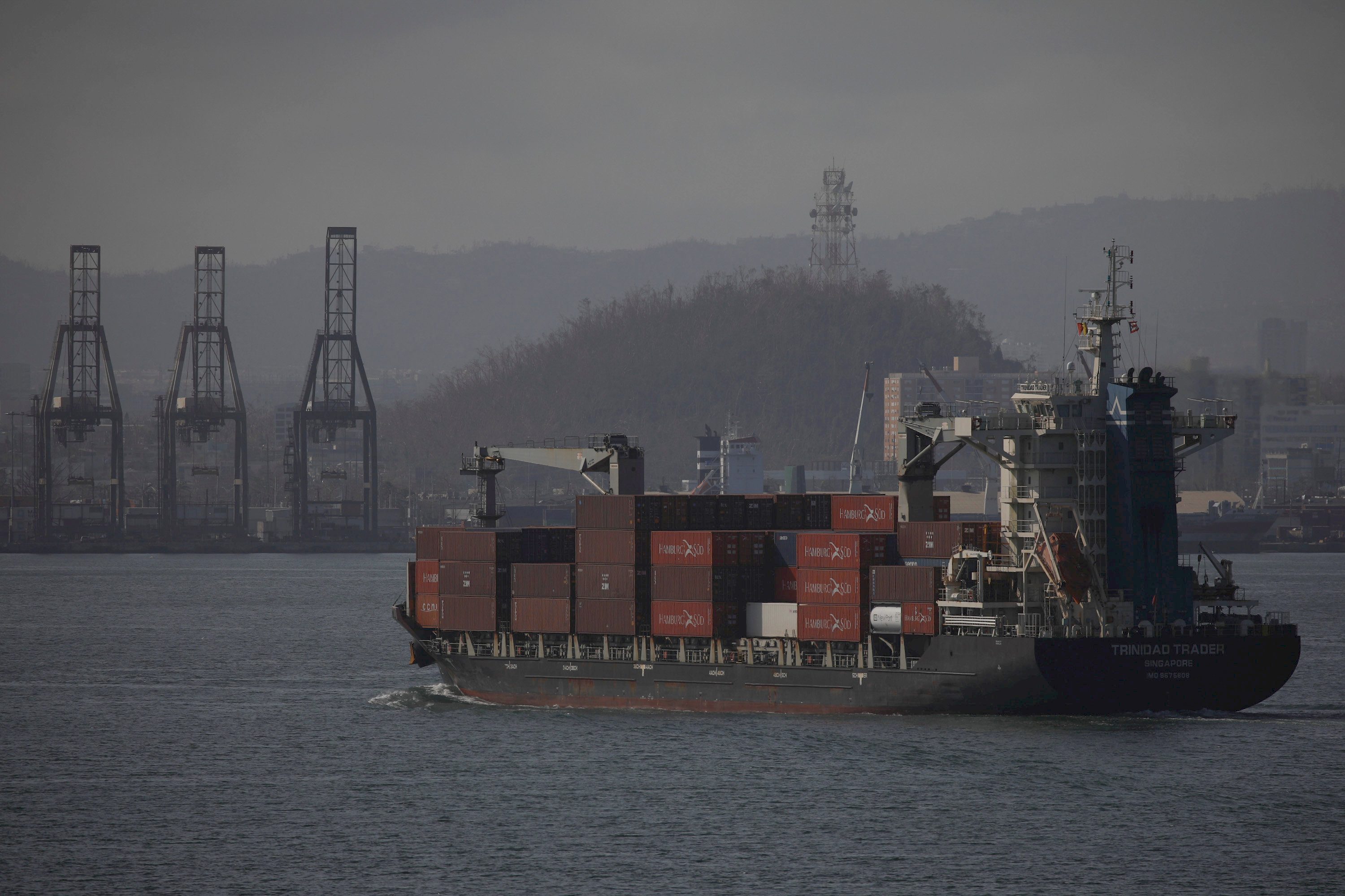
The U.S. Coast Guard has issued Port Condition X-RAY for all seaports in Puerto Rico and the U.S. Virgin Islands as Tropical Storm Erin gains strength in the Central Atlantic and moves toward the region.
“Coast Guard Captain of the Port – San Juan has directed the setting of Port Condition X-RAY at 4p.m. Thursday for all seaports in Puerto Rico and the U.S. Virgins Islands due to Tropical Storm Erin,” officials announced.
While ports remain open to commercial traffic during the X-RAY condition, mariners should be aware that the situation could escalate. The Coast Guard highlighted that vessels over 500 gross tons without approval to remain in port should prepare to depart when Port Condition YANKEE is established.
“Vessels bound for Puerto Rico or the U.S. Virgin Islands unable to depart 24 hours prior to threatening winds potentially making landfall are advised to seek an alternate destination,” the Coast Guard stated.
According to the National Hurricane Center’s 11:00 AM AST advisory, Tropical Storm Erin is currently located about 890 miles east of the northern Leeward Islands with maximum sustained winds of 60 mph. The storm is moving westward at 17 mph but is expected to turn west-northwest tonight.
Forecasters predict Erin will strengthen into a hurricane by Friday. While no coastal watches or warnings are currently in effect, interests in the northern Leeward Islands, Virgin Islands, and Puerto Rico are advised to monitor the storm’s progress.
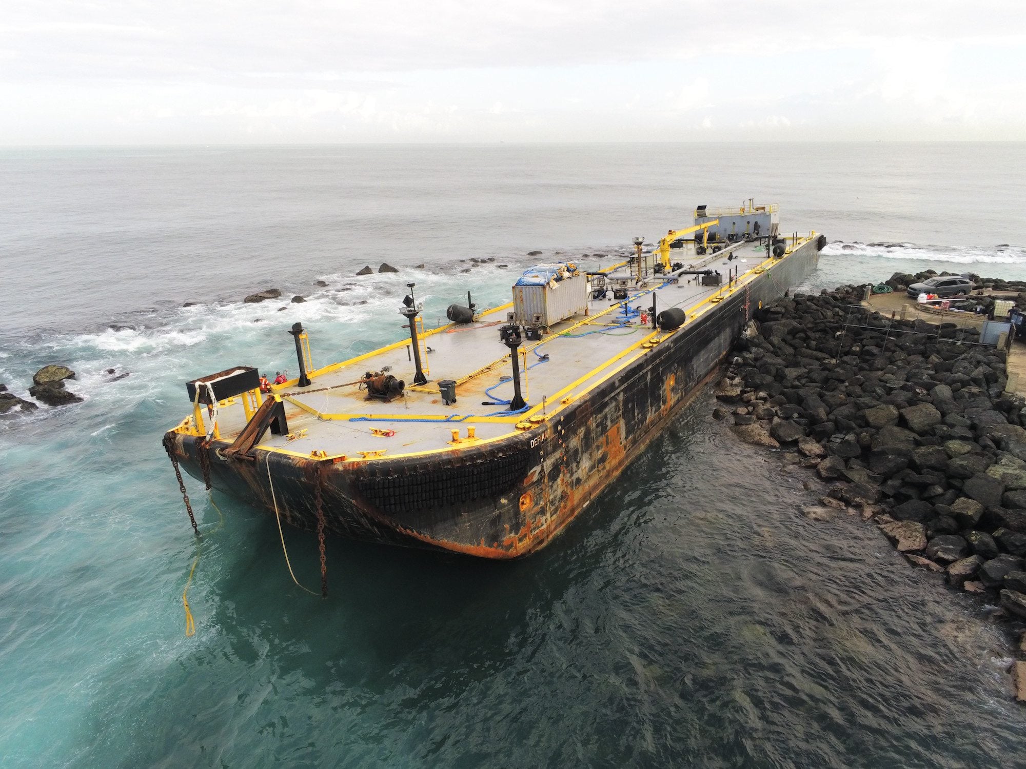
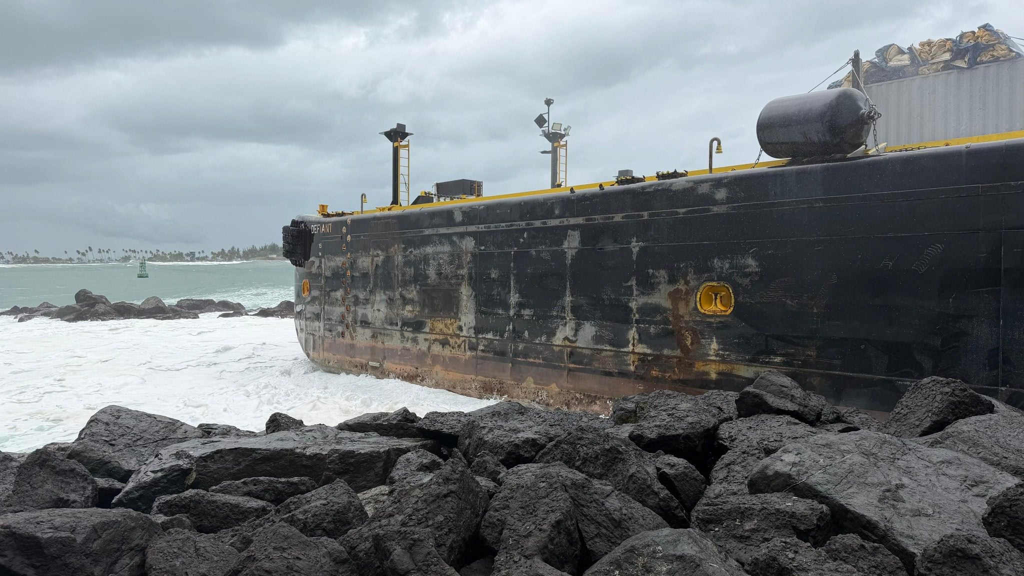
The Coast Guard has issued several safety recommendations for the maritime community, including securing vessels properly and removing EPIRBs from boats left in the water. Boat owners are urged to “move their vessels to inland marinas where they will be less vulnerable to breaking free of their moorings or to sustaining damage.”
For residents and visitors, the Coast Guard warns: “Stay clear of beaches. Wave heights and currents typically increase before a storm makes landfall. Even the best swimmers can fall victim to the strong waves and rip currents caused by hurricanes.”
Swells generated by Erin are expected to begin affecting portions of the northern Leeward Islands, the Virgin Islands, and Puerto Rico by this weekend, potentially creating life-threatening surf and rip current conditions.
The storm is forecast to pass near or just north of the northern Leeward Islands over the weekend as it continues to strengthen.
Editorial Standards · Corrections · About gCaptain

 Join The Club