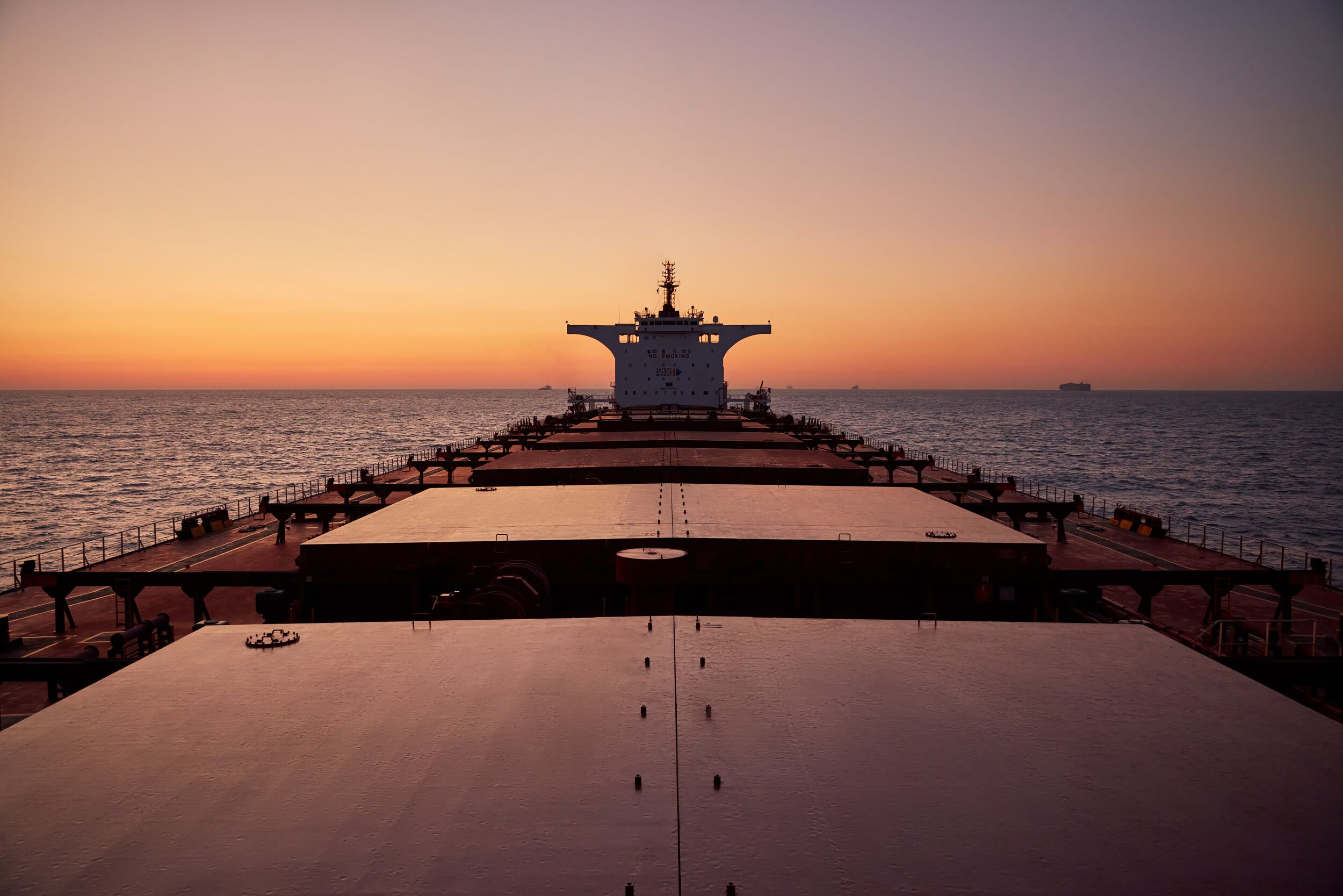
It is no exaggeration to say that shipping underpins the global supply chain. 90% of everything travels via ship. But it is also a sector that is grappling with the need to decarbonise, digitalise, and innovate as it looks to the future.
The global shipping industry is also incredibly diverse. Every cargo imaginable, transported in an array of different vessel types, sailing on both well-established routes and routes less well travelled. However, this diversity in the global fleet is underpinned by one common characteristic: their operations are all underpinned by their trust in their navigational charts.
Although sometimes taken for granted, because navigational solutions are on every bridge in the global fleet, it is impossible to ask, “what is the future of shipping?” without also asking “what is the future of navigation?”. In answering the latter, we can better understand how the next generation of navigational solutions will be integral to ocean transportation for decades to come.
ENCs and beyond
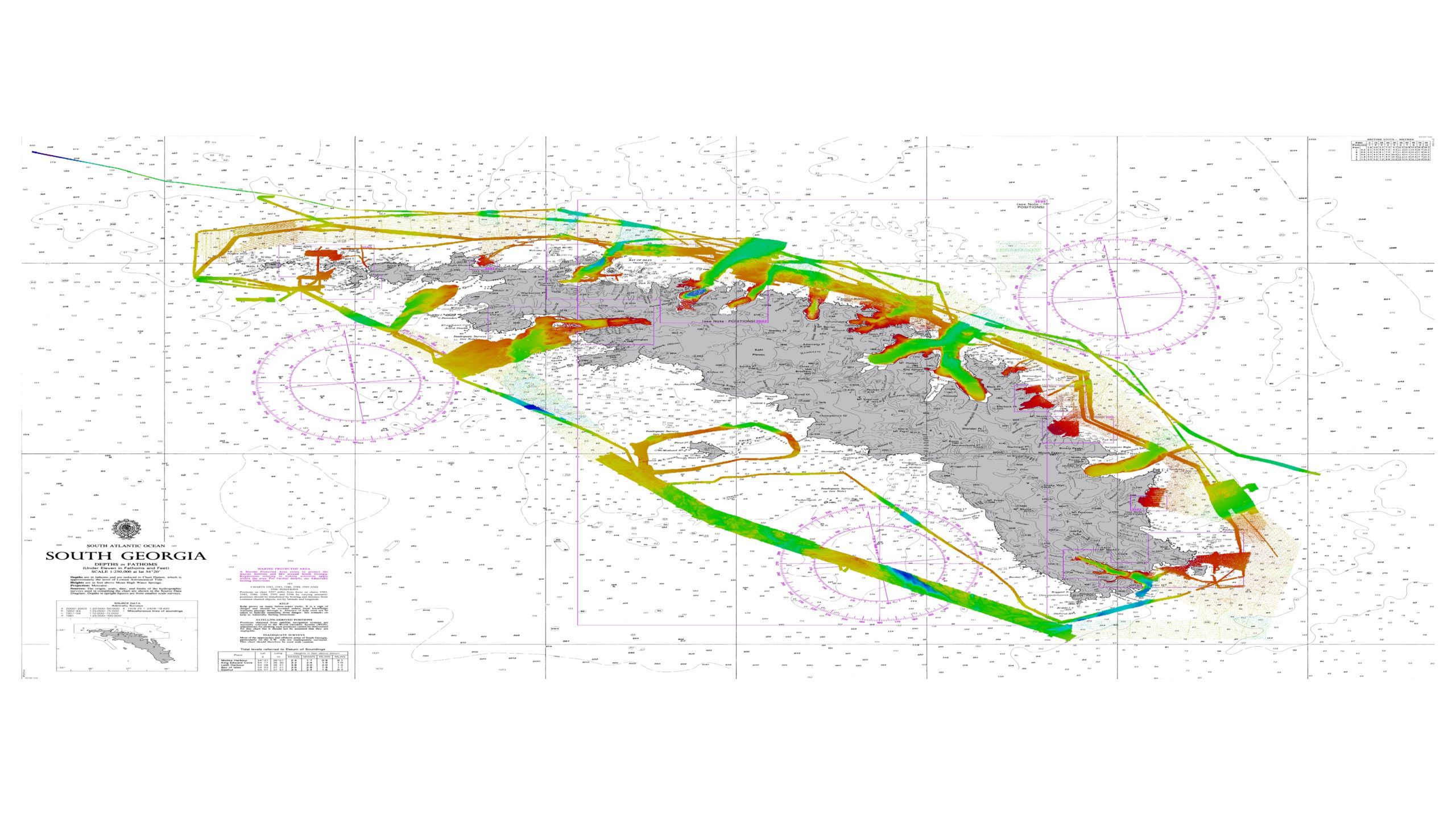
Electronic Navigational Charts (ENCs) are today familiar to every mariner. But they are already progressing well beyond what they were when the use of ECDIS first became mandatory over a decade ago.
The speed and sophistication of digital navigation solutions is rapidly evolving. From waiting days or weeks to receive digital updates via a physical disc, improved ship-shore connectivity means that it will be possible to deliver navigational updates in near real-time in the future.
This will allow seafarers to optimise their passage planning, voyages and port calls, helping to minimise costs, fuel consumption and emissions. To optimise a vessel, you need a clear understanding of its place in space and time – and the latest navigational data standards and delivery methods provide this trusted foundation that a mariner and ship owner can use to inform their decision-making.
We are also realising more and more about how powerful a tool navigational data can be, not just in meeting shipping’s enduring challenge of keeping vessels, cargo and seafarers safe at sea, but also in helping to tackle new and emerging priorities.
There is no better example of this than facing up to shipping’s decarbonisation challenge. If we don’t act, shipping will be responsible for 11% of all manmade emissions by 2050. The IMO has made it clear that we must do something to curb this total by halving emissions by or around 2050, in their new strategy drafted last summer.
Much of the industry discussion around vessel emissions has focused on propulsion technologies and fuel choices, including the debate over the low- and zero-carbon fuels of the future. But to decarbonise ships, we must also understand how they interact with their environment. And to understand how they interact with their environment, we must unlock the power of navigational data.
Take vessel optimisation, for example. Nearly unheard of a decade ago, optimisation practices are now a pressing commercial reality. Cost and carbon pressures have shown that established routes might not always be the most fuel-efficient, leading to avoidable emissions.
With the advent of advanced data analytics and machine learning algorithms, shipping companies will be able to analyse historical navigation patterns alongside real-time data to identify optimal routes that take advantage of favourable currents, winds, and sea conditions.
Of course, sustainability is not just about getting from point A to point B; it’s also about what happens at either end of the journey, which is why the concept of just-in-time arrivals has gained such prominence.
A ship might arrive at its destination in its very own ‘Goldilocks zone’; not a moment too soon or a second too late. By leveraging navigational data in a connected marine data ecosystem, ships can effectively synchronise their journeys with port operations.
Navigational data will also be a crucial part of the foundation for the creation of Green Shipping Corridors, one of the most exciting initiatives to emerge in the fight to curb shipping emissions. These corridors – which remain largely conceptual – offer a potential blueprint for reducing the carbon footprint of maritime transportation.
Here, navigational data plays an important role because of its ability to deliver accurate insights into the marine environment that ships are passing through. This information is invaluable for planning and optimising activity within a green shipping corridor. It may even be able to be used to guide investments in new fuel infrastructure along that route and to support the decisions taken by port and terminal operators along the corridor.
The next generation of digital navigation solutions
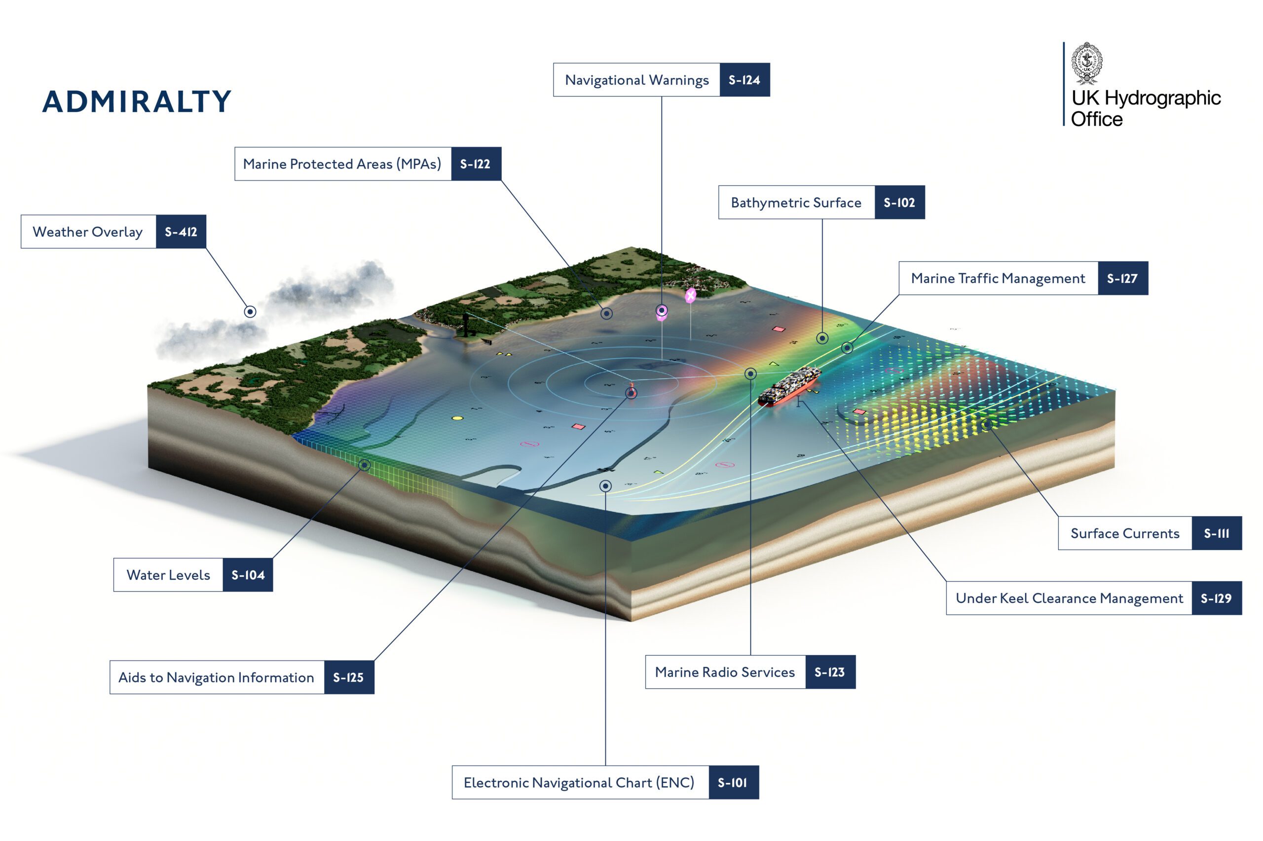
Much of this will be made possible by the next generation of digital navigation, underpinned by the International Hydrographic Organization’s (IHO) new standard, named S-100.
Through a single, coherent data framework, S-100 will transform the way the navigational community views, shares and uses marine geospatial and navigational data, enriching the view of the world outside and beneath the vessel and enabling safer, more efficient voyages.
This is achieved by creating common standards for a wide array of data sets, including bathymetric depth information, water levels, surface currents and tidal data. This information will give teams numerous interoperable overlays to enhance all stages of the passage planning process and will give mariners a clearer view of the information that they need to safely navigate and make emergent decisions while at sea. Moreover, S-100 is fully scalable, and its digital layers could even take the place of multiple nautical publications to aid weather routeing and voyage optimisation in the future.
The implementation of S-100 standards has already commenced, with the first S-100-based products and services expected to be carriage compliant and ready for deployment from 2026. The first S-100-series products and services are currently being developed, trialled and tested, meaning that we are only a few years away from the standard making a big difference to how we navigate. The UKHO is at the forefront of international efforts, under the leadership of the IHO. to embrace the step-change that S-100 will deliver, not just on the bridge of the ship, but for global shipping operations.
Navigating with confidence with UKHO
The UKHO ensures its ADMIRALTY products and services support the navigation needs of today and future generations. Our world-class team of experts compile, assess, and verify the data we receive, providing users with safety-critical information. Trusting the ADMIRALTY portfolio means navigating with confidence, accessing the latest information to ensure the safety of vessels, crews, and cargo.
With more dynamic data delivery in the future, seafarers will be able to optimise their passage planning, voyages and port calls, contributing to more efficient voyages, reducing shipping’s impact on the marine environment, and aligning with the industry’s shared decarbonisation goals.
As we chart the course ahead, embracing these innovations will not only address current challenges but also contribute to a more sustainable and efficient maritime industry for the next generation of mariners, as well as today’s seafarers.
By leveraging the power of navigational data and helping to answer the question of what the future of navigation looks like, the UKHO is with you every step of the way.
The International Hydrographic Organization (IHO)’s new S-100 universal hydrographic data model promises to bring a range of benefits to the shipping industry, including improvements in navigation, operations and decarbonisation. Born...
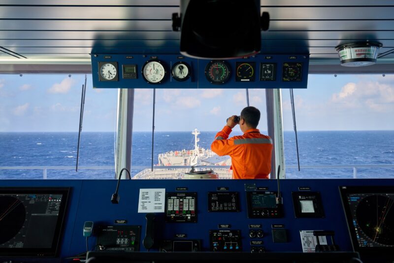
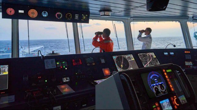
Seafarers have always relied on navigational equipment to steer their vessels safely across the oceans. However, the tools that modern mariners use compared to previous generations are, as expected, far...
Marking the first time the UKHO supplies data directly to GEBCO, this initiative aims to advance the understanding of ocean bathymetry and support the Decade of Ocean Science for Sustainable...
October 5, 2022
Total Views: 389
Get The Industry’s Go-To News
Subscribe to gCaptain Daily and stay informed with the latest global maritime and offshore news
— just like 106,283 professionals
Secure Your Spot
on the gCaptain Crew
Stay informed with the latest maritime and offshore news, delivered daily straight to your inbox
— trusted by our 106,283 members
Your Gateway to the Maritime World!
Essential news coupled with the finest maritime content sourced from across the globe.

 Join The Club