Here is a list of gCaptain’s picks for the most interesting ways to track Hurricane Dean.
1) IBISeye.com’s Hurricane Tracker. Click on past and future tracking points for more detail on the storm.
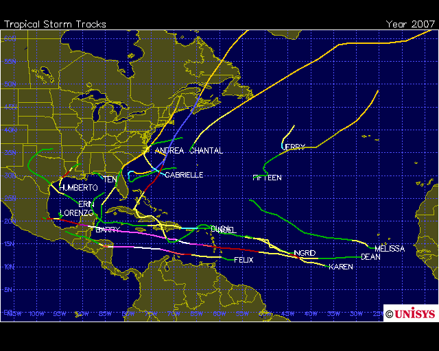
2) Unisys’s 2007 Hurricane Tracks. This chart shows the complete tracks of all 2007 Atlantic ocean hurricanes to date.
3) Predicted Routes Chart. Plotted by Southern Florida’s weather center this chart overlays the different computer predictions onto one chart. Mostly it shows how inaccurate computer based weather modeling is today.

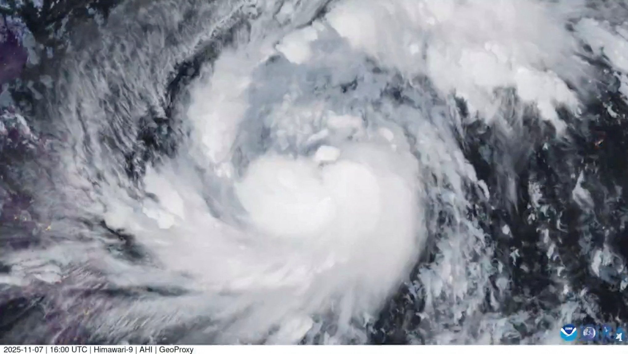
4) NOAA Satellite Image of Hurricane Dean. Click on the photo to see the Hi Resolution version.

5) NOAA’s GEOS IR Loop showing satellite IR views of Hurricane Dean.

Best Tracking Websites:
- Google Earth Hurricane Tracking Files
- Weather Underground – Hurricane Dean
- Unisys 2007 Hurricanes
- National Hurricane Center – Dean
- U.S. Navy’s NOGAPS Forecast
All of these links can be found on gCaptain’s Weather Links Page
Tags:
Updated: February 5, 2026 (Originally published August 19, 2007)
Editorial Standards · Corrections · About gCaptain

 Join The Club