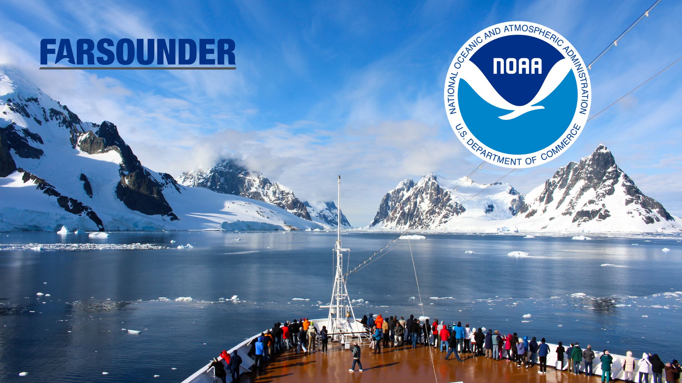
Protecting the fragile underwater ecosystems and achieving business goals don’t always go hand in hand, but it can. Preventing groundings and collisions means minimizing ship downtime, avoiding injury to passengers, crew and wildlife, and reduction in accident-associated environmental penalties. Grounding accounts for about one-third of commercial ship accidents. This type of accident is often detrimental to the environment, to the vessel, and to the operating company. How does this number decrease while protecting all parties? By focusing on finding new ways to mitigate the risk. Advanced technologies are the answer.
In the latest edition (Autumn/Winter 2023) of Cruise and Ferry Review, James Rodriguez, CEO of Atlas Ocean Voyages shares how his organization looks to mitigate risk by “incorporating advanced technologies, like the FarSounder Forward-Looking Sonars … on our vessels. These innovations enable us to navigate safely around sea life, reduce underwater noise and avoid using anchors to protect fragile ocean ecosystems.”
Seafloor Challenges
According to Seabed 2030 and the GEBCO world map, less than 25% of the seafloor has been mapped. Additionally, in many places, the seafloor can change dramatically over time due to seasonal and storm related conditions. The charts mariners rely on are often not comprehensive or accurate enough to be relied on when making navigation decisions. Ancillary technologies play an important role in helping to provide better situational awareness. One company that is focusing on filling in the gaps of this lack of information is FarSounder.
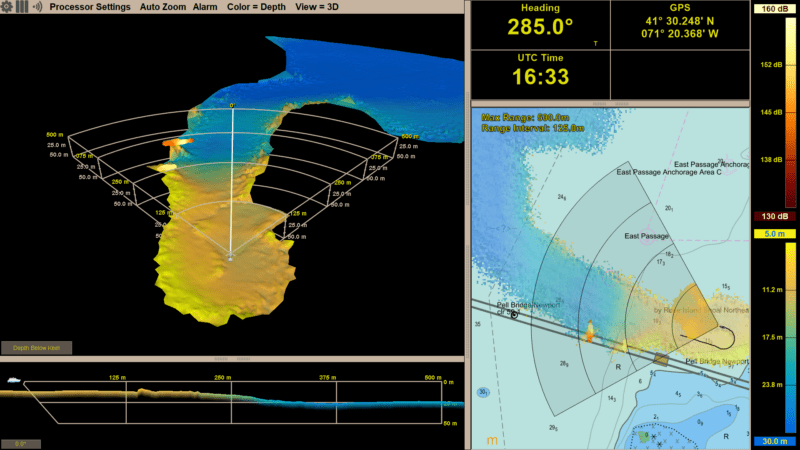
FarSounder’s Argos Forward Looking Navigation Sonars provides real-time 3D information to the crew showing them where it is safe to sail up to 1000m ahead of the vessel. Argos systems also simultaneously produce a survey of the seafloor everywhere the vessel goes with its Local History Mapping™ (LHM) feature. This information is crucial when navigating in risky areas.
The survey data LHM stores includes high quality metadata with accurate vessel, sensor, and gps details. The obvious next step is to get these detailed surveys off the vessels and into the community for broader use. FarSounder has taken on this challenge. They have been awarded a National Oceanic Atmospheric Administration’s (NOAA) Small Business Innovation Research (SBIR) Phase I Grant to be a larger part of the solution. This award funds a project to develop a cloud-based service to share survey data collected by FarSounder customers. The data will be able to be shared with others across the FarSounder customer fleet and with crowdsource initiatives.
One initiative that FarSounder is already contributing approved customer data to is Seabed 2030 via the IHO’s Data Centre for Digital Bathymetry’s CSB database.The message from Seabed 2030 (a global initiative by the Nippon Foundation and GEBCO to map the world’s oceans by 2030 and make it available to all) is that “we know the topography of the Moon and Mars in greater detail than that of our own planet.” Depth is the most basic information needed by the crew to ensure safety when sailing. Mapping the seafloor is a critical key in safety and sustainability.
The Future of Navigation
FarSounder’s SBIR project to develop this platform for data sharing between FarSounder customers and contribute to global initiatives is slated to go even further in a multi-phase approach. The Argos system produces high-quality data of everywhere the vessel goes. Having this data on the cloud sets the stage to produce future benefits such as having a broad access to cloud-based, tide-corrected, and cleaned versions of crowdsourced seafloor depth measurements with the ability to be utilized in multiple platforms. This is an opportunity for countless vessels to have access to the information. This will be an important step to keeping the oceans and vessels safe.
Crowd-sourced data is the future of navigation. Having the latest information available from as many sources as possible in a simple and easy to use format is valuable to all vessels. Ocean sustainability is a priority, but at the same time, no accidents means companies can run efficiently and without unintended delays. Even though the oceans are continuing to change everyday, having the most up to date information will be a game changer for all.
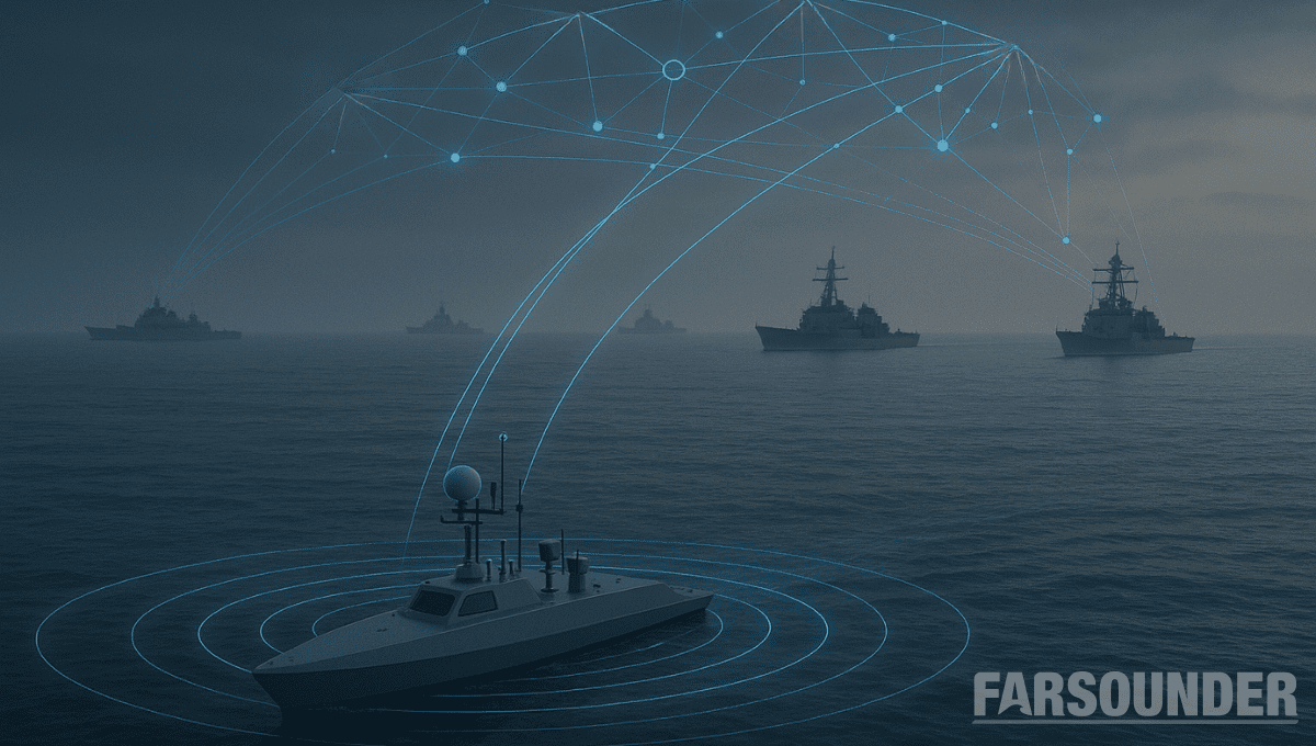
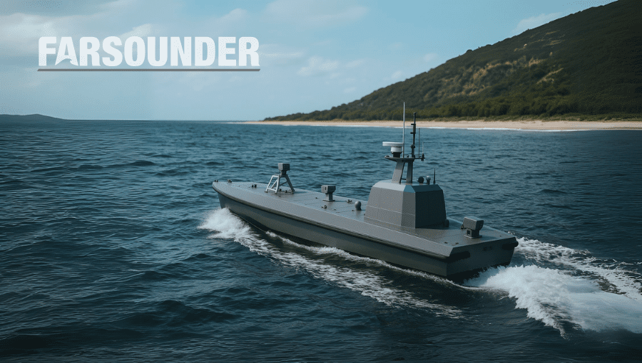
The next era of naval superiority will be decided by how effectively USVs integrate within broader fleet operations. Unmanned and autonomous systems are rapidly reshaping naval operations, advancing from experimental...
As unmanned and autonomous surface vessels (USVs) expand their role in the maritime sector, their missions are moving into increasingly complex and dynamic environments that often present unpredictable hazards. These...

 Join The Club