Investigators will sift through a year of ship movements around the damaged oil pipeline at the Ports of Los Angeles and Long Beach as the investigation into the Orange County oil spill expands in scope.
The U.S. Coast Guard and NTSB have offered new details about the anchor dragging aspect of the investigation into the Orange County pipeline fracture and oil spill.
As we reported Thursday, the Coast Guard Commandant has designated the pipeline incident and oil spill as a Major Marine Casualty “due to the potential involvement of a vessel” and resulting damages of more than $500,000. A joint investigation will be led by the Coast Guard, with assistance from the National Transportation Safety Board (NTSB), Bureau of Safety and Environmental Enforcement (BSEE) and the Pipeline and Hazardous Materials Safety Administration (PHMSA).
According to information released this week by the Unified Command responding to the incident, divers and ROV footage confirmed that a 4,000-foot stretch of the more than 17-mile-long San Pedro Bay Pipeline was found to be displaced on the ocean floor by 105 feet, with a 13-inch gash likely to be the source of the oil spill.
In a Friday afternoon press conference, USCG Captain Jason Neubauer and NTSB Investigator in Charge Andrew Ehlers said the suspected anchor dragging event, at least initially, likely occurred several months ago and perhaps as long as a full year, based on evidence gathered so far.
Captain Neubauer said sediment buildup and marine growth around the impacted portion of the pipeline indicates a longer timeline than it has initially appeared. Parts of the concrete casing around the 16-inch steel pipeline is missing or damaged and a debris field can be seen near site. A marine growth study could provide additional details with regards to the timeline and the portion of damaged pipeline could be retrieved and sent to a NTSB lab for closer examination.
Based on survey information by the pipeline operating company (Beta Offshore/Amplify Energy), the pipeline was known to be intact as of October 2020. Therefore, investigators will be sifting through a full year of vessel movements around and over the pipeline using automatic identification system data, or AIS, as well as Vessel Traffic Service (VTS) data and pilot records.
Investigators will be looking into an initiating event (the initial anchor dragging), as well as subsequent events that may have led to the oil spill first reported last Saturday, October 2. This could include anything from an additional anchor strike to a geological event. Based on calculations, however, the investigators said the initial anchor drag event most likely involved a larger vessel, as opposed to a smaller fishing vessel that would not have been able to provide enough force to displace the pipeline by over 100 feet.
As for the pipeline fracture itself, the investigators described the gash as linear, indicating that it could be stress-related or could have occurred gradually over time, as opposed to a single puncture from an anchor’s fluke. Therefore, it’s not clear exactly when oil began to leak.
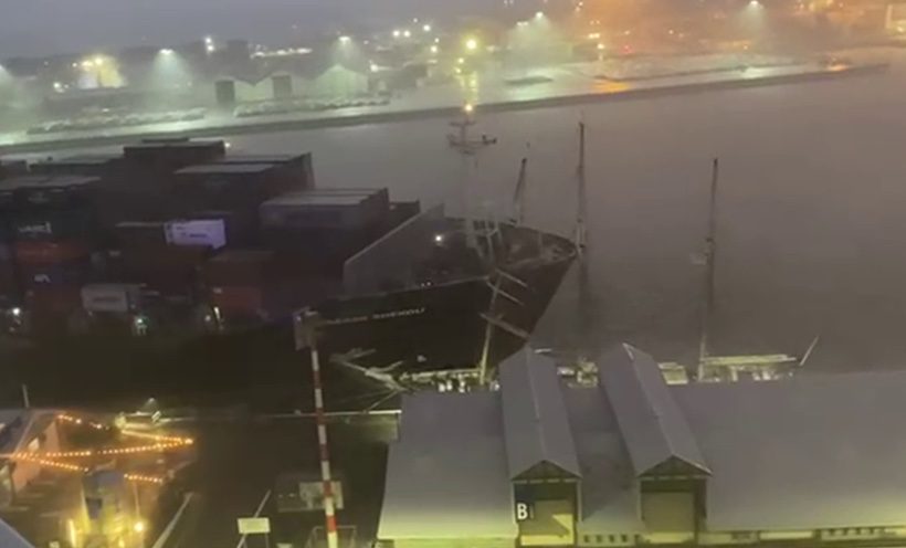
Investigators are also examining a heavy weather event that occurred back on January 25, 2021 as a possible date of the initial incident. Based on information released by the Marine Exchange of Southern California VTS service in the days after the storm, conditions were reported as 30-55 knot winds and seas as high as 17 feet, the latter recorded by a San Pedro Bay buoy. Of the more than 50 ships at anchor leading up to the storm, 24 ships raised anchor and went to sea for storm avoidance.
The investigation is also likely to lead to more future ship boardings. Captain Neubauer said two boardings have taken place thus far and, as it stands now, no vessels have yet to be ruled out.
Lastly, the investigation will also take a close look at how the Coast Guard designates federal anchorages. According to the U.S. Department of Homeland Security’s Navigation Center, VTS Los Angeles-Long Beach (LA/LB) is jointly operated by the Coast Guard and Marine Exchange from the Vessel Traffic Center office located in San Pedro, California. The VTS assists in the safe navigation of vessels approaching the ports of Los Angeles and Long Beach, the two busiest ports in the United States, covering an area extending 25 miles out to sea from Point Fermin.
The public is encouraged to send any tips to [email protected].
The Coast Guard and NTSB press conference from Friday can be viewed below or here:

 Join The Club


