The U.S. National Oceanic and Atmospheric Administration is set to begin implementing its sunset plan for paper nautical charts as it transitions exclusively to electronic navigation charts.
NOAA announced its Sunsetting of Raster Nautical Charts in the Federal Register in 2019, which detailed a 5-year plan to gradually end production and maintenance of NOAA traditional paper and raster nautical chart products beginning this year.
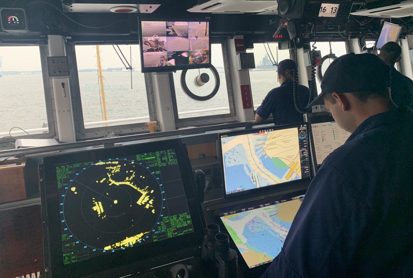
The electronic charts, NOAA says, are easier to update and maintain, keeping mariners safer with up-to-date information on marine hazards.
Chart 18665 of Lake Tahoe is the first traditional paper chart to be fully supplanted by an electronic navigational chart as part of NOAA’s Office of Coast Survey Raster Sunset Plan. (NOAA)
The transition is kicking off with the cancelling of paper chart 18665 of Lake Tahoe, becoming the first traditional paper chart to be fully supplanted by an electronic chart. Mariners will be officially notified of the chart’s cancellation in the U.S. Coast Guard Local Notice to Mariners. A note in the lower left corner of the chart will also state that it is the last paper edition and it will be canceled six months later on August 26.
NOAA and its predecessor agencies have produced paper nautical charts of the U.S. Coasts, its territorial waters, and the Great Lakes since the mid-1800s. Electronic navigational charts (ENCs) have been produced by NOAA since 1993.
The International Maritime Organization now mandates that all large commercial vessels on international voyages use ENCs, and the U.S. Coast Guard has also allowed regulated commercial vessels on domestic voyages to use ENCs in lieu of paper charts since 2016.
According to NOAA, use of ENCs surpassed paper nautical charts in 2011.
Over the next several years, NOAA will continue to announce the cancellation of additional paper charts, initially based on volume of sales or downloads, and in regions with improved NOAA electronic navigational chart coverage.
The cancellation of all traditional paper and associated raster chart products is expected to be completed by January 2025.
A strengthening El Niño is on track to become one of the strongest events in the historical record, raising fresh concerns for global shipping just days after the Panama Canal...
La Niña conditions have emerged in the equatorial Pacific and are expected to persist through the Northern Hemisphere winter, with forecasters predicting a 55% chance of transition to ENSO-neutral conditions...
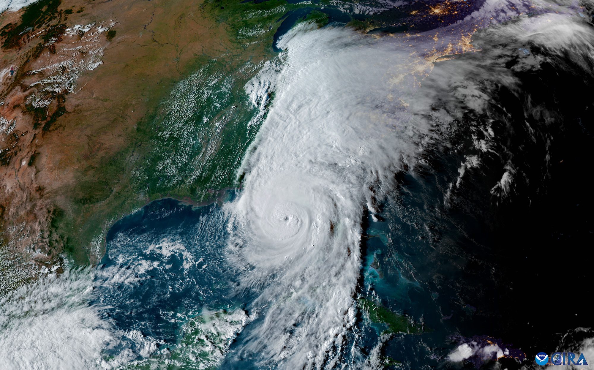
The National Hurricane Center (NHC) achieved unprecedented accuracy in hurricane track forecasting during the 2024 Atlantic hurricane season, according to a preliminary forecast verification review by the National Weather Service....
March 7, 2025
Total Views: 168
Get The Industry’s Go-To News
Subscribe to gCaptain Daily and stay informed with the latest global maritime and offshore news
— just like 104,535 professionals
Secure Your Spot
on the gCaptain Crew
Stay informed with the latest maritime and offshore news, delivered daily straight to your inbox
— trusted by our 104,535 members
Your Gateway to the Maritime World!
Essential news coupled with the finest maritime content sourced from across the globe.

 Join The Club