Join The Club


Marine Weather
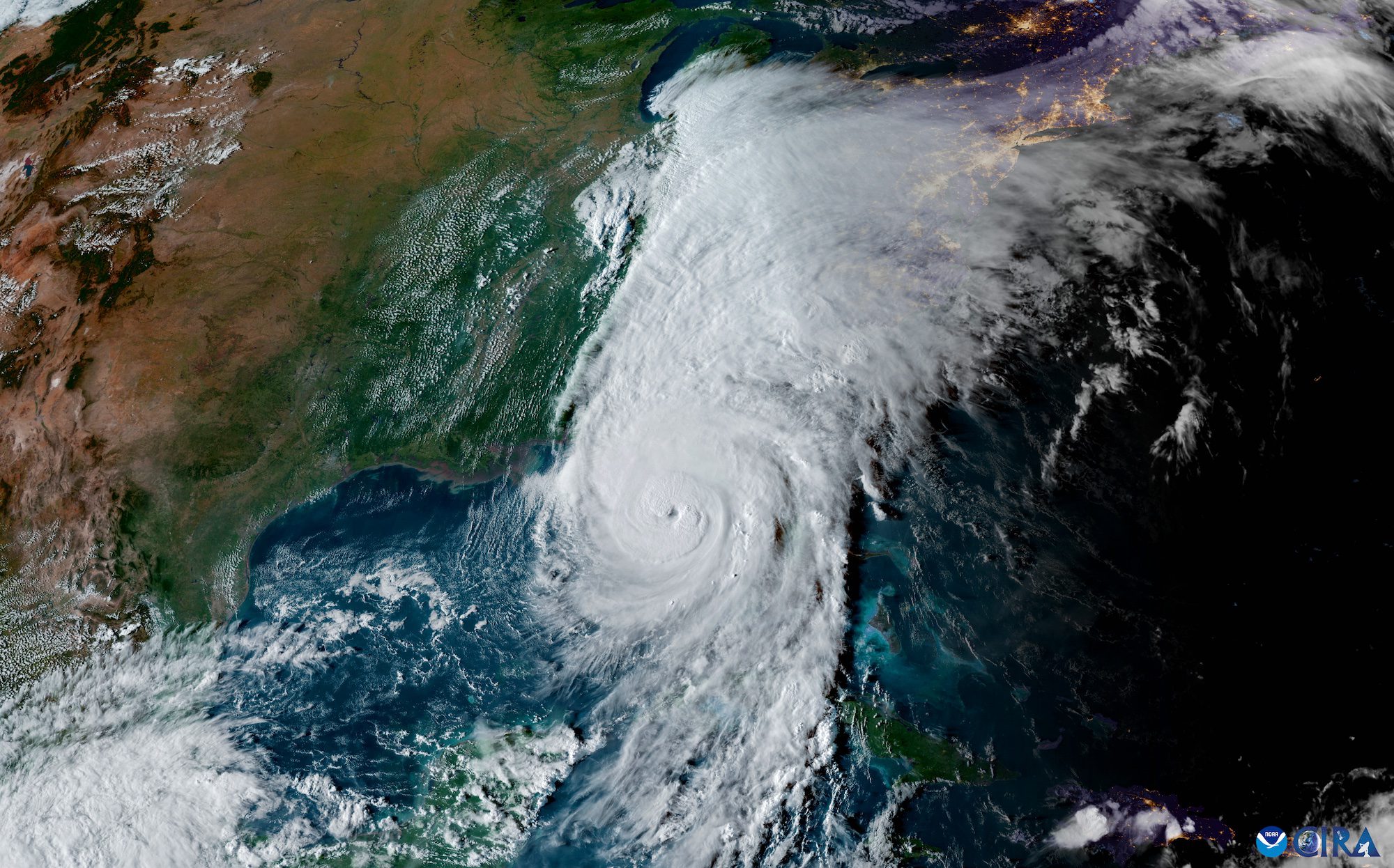
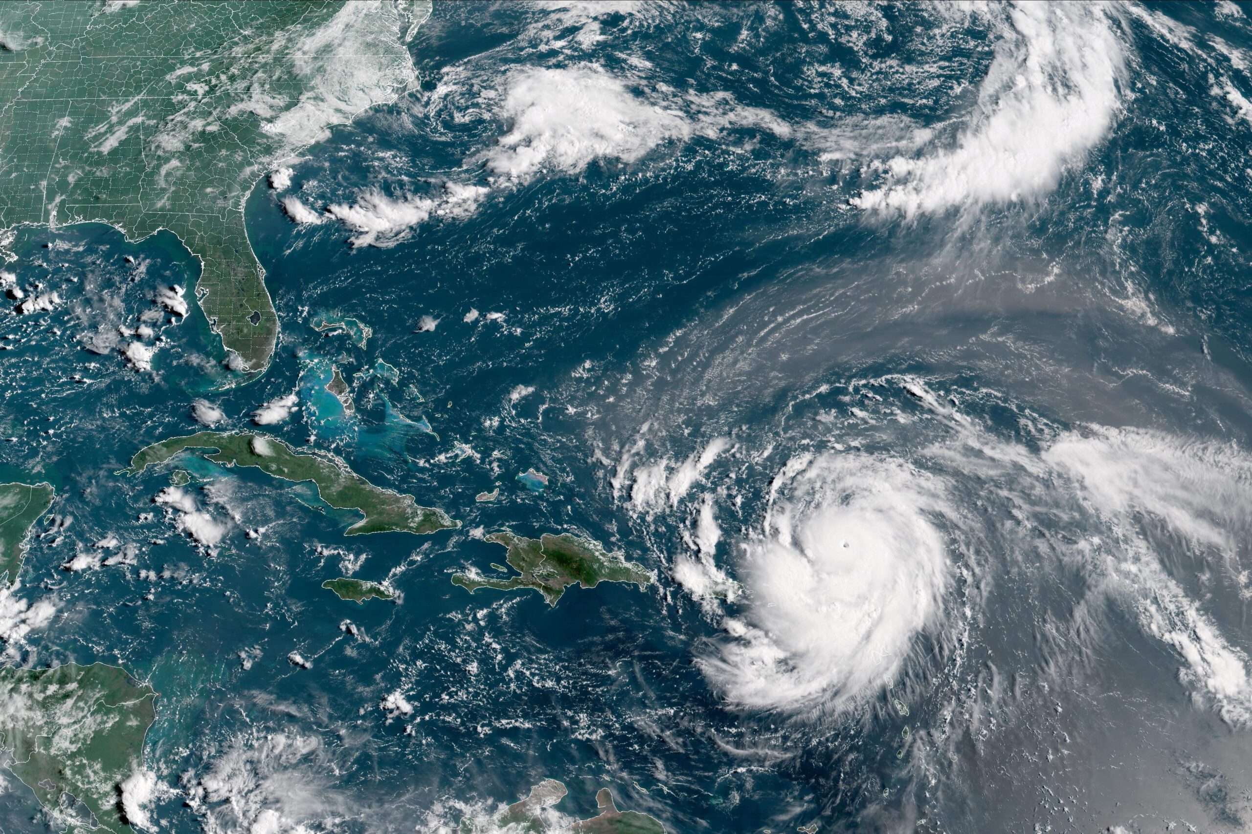
Hurricane Erin Surges To Category Five, First Of 2025 Atlantic Season
By Brian K. Sullivan Aug 16, 2025 (Bloomberg) –Hurricane Erin strengthened on Saturday into a “catastrophic” Category 5 hurricane north of the Caribbean islands, reaching the top of the five-step, Saffir-Simpson...