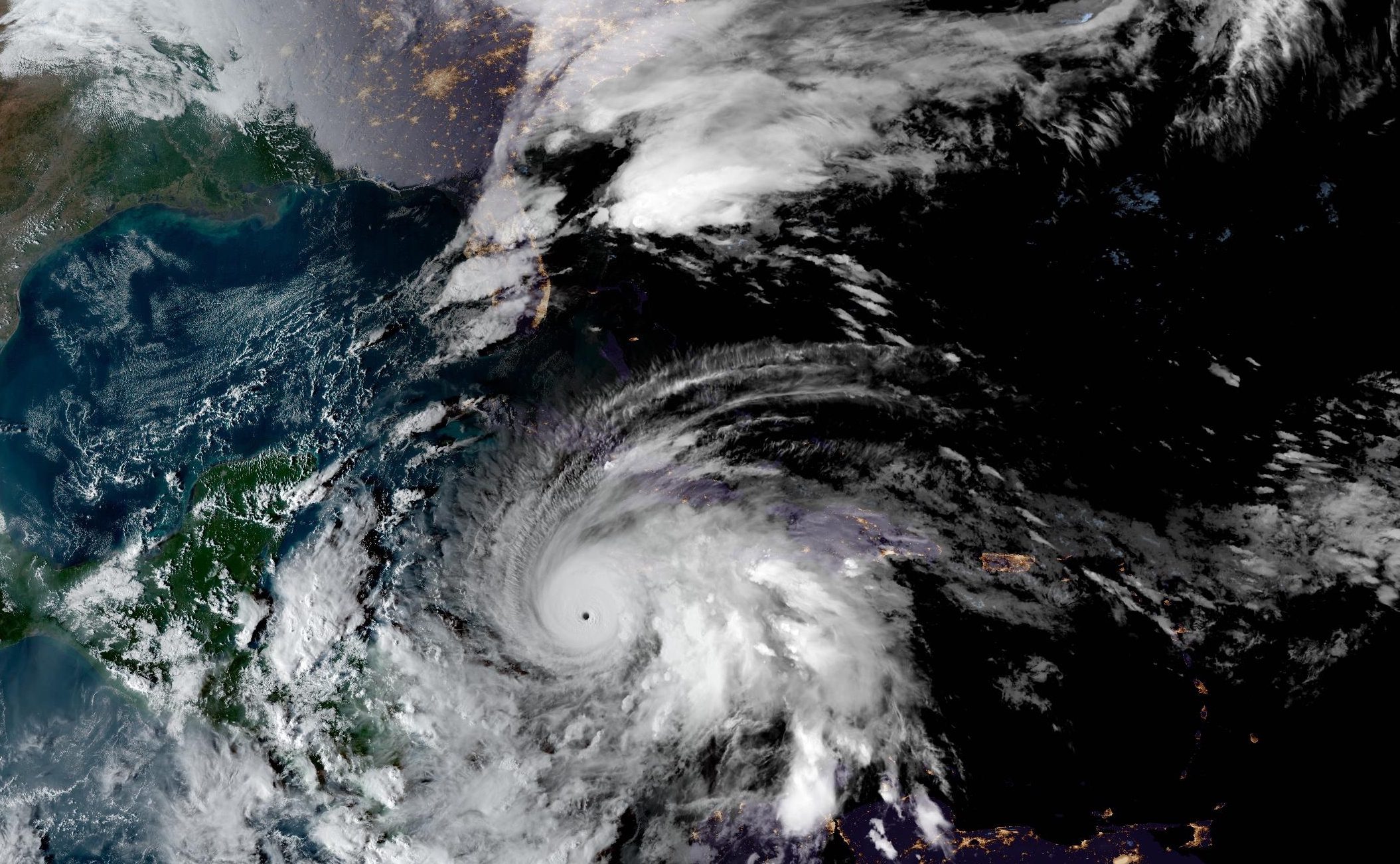
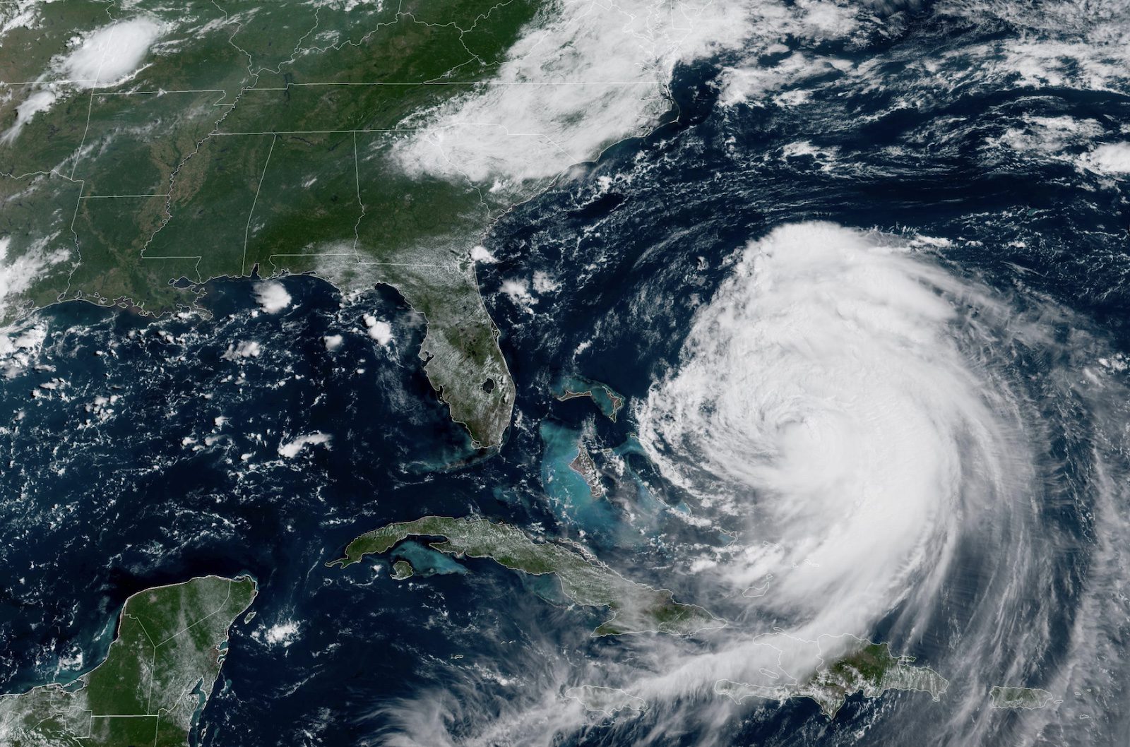
Hurricane Erin has intensified to near-major hurricane strength with maximum sustained winds of 110 mph while moving northward through the western Atlantic, the National Hurricane Center reported Wednesday morning.
The large and powerful cyclone is located approximately 365 miles southeast of Cape Hatteras, North Carolina, and officials have issued multiple maritime warnings as the storm impacts shipping lanes.
“Erin is a large hurricane. Hurricane-force winds extend outward up to 90 miles from the center and tropical-storm-force winds extend outward up to 265 miles,” the NHC stated in its 11 AM EDT advisory.
The hurricane is producing a very large area of extremely hazardous seas in the southwestern Atlantic, with seas over 12 feet extending over 400 nautical miles east of the center and waves approaching 50 feet closer to the hurricane’s center.
The system’s minimum central pressure has fallen to 941 mb based on Air Force Hurricane Hunter aircraft observations. Forecasters note that “some additional strengthening is likely during the next day or so, and Erin could become a major hurricane again by tonight.”
Multiple maritime warnings have been issued for offshore waters, with Hurricane Warnings in effect for several zones in the western Atlantic. Sea conditions are deteriorating rapidly, with significant wave heights forecast to reach 30 to 45 feet in some offshore areas by Thursday night.
The offshore waters forecast from the NWS Ocean Prediction Center indicates extreme maritime conditions: “THU NIGHT…E to NE winds 75 to 95 kt, becoming N to NW 50 to 65 kt. Seas 30 to 45 ft. Showers and tstms with vsby 1 nm or less.”
Tropical storm conditions are expected over portions of the North Carolina Outer Banks and Virginia coastline beginning late Wednesday, with wind gusts to tropical storm force likely along the mid-Atlantic and southern New England coast Thursday through early Friday.
A Storm Surge Warning has been issued from Cape Lookout to Duck, North Carolina, where surge heights of 2 to 4 feet above ground level are possible if peak surge occurs at high tide.
Mariners and beachgoers throughout the region are urged to exercise extreme caution. “Erin is expected to produce life-threatening surf and rip currents along the beaches of the Bahamas, much of the east coast of the U.S., Bermuda, and Atlantic Canada during the next several days,” the NHC warned.
The hurricane is forecast to continue its northward track before turning northeast, passing between the U.S. East Coast and Bermuda through early Friday, then south of Atlantic Canada Friday and Saturday.
Editorial Standards · Corrections · About gCaptain

 Join The Club