Join our crew and become one of the 105,897 members that receive our newsletter.

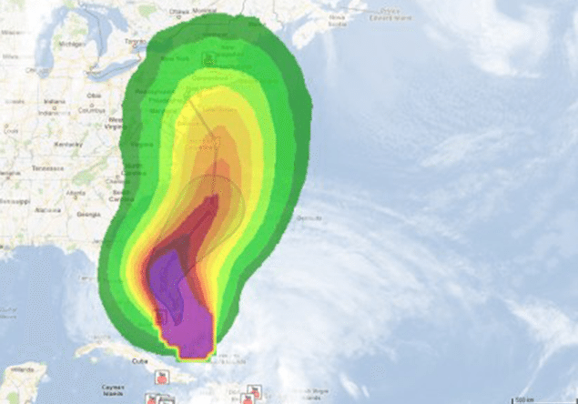
sandy-winds-google-map

Google Sets Up Hurricane Crisis Response Center

John Konrad
Total Views: 3
October 29, 2012

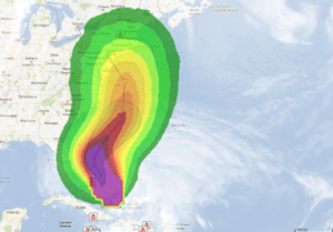
Click for crisis map.
sandy-winds-google-map

Already responsible for the loss of at least one ship, late-season Hurricane Sandy is expected to make landfall again tonight on the east coast of the United States.  The Google Crisis Response team has assembled a Hurricane Sandy map to help you track the storm’s progress and provide updated emergency information.

The Google Earth blog also reports that Google Earth has some great hurricane tracking tools available to you in there as well. By opening the [Weather] layer, you can turn on near-real-time [Clouds] and [Radar] layers, which show the storm gaining strength and additional information.

Click HERE and HERE to learn more.

Unlock Exclusive Insights Today!

Join the gCaptain Club for curated content, insider opinions, and vibrant community discussions.

Sign Up
Back to Main
polygon icon polygon icon

Why Join the gCaptain Club?

Access exclusive insights, engage in vibrant discussions, and gain perspectives from our CEO.

Sign Up
close

JOIN OUR CREW

Maritime and offshore news trusted by our 105,897 members delivered daily straight to your inbox.

gCaptain’s full coverage of the maritime shipping industry, including containerships, tankers, dry bulk, LNG, breakbulk and more.