” By Brian Van Pay and Barbara Moore, US Department of State
In the enduring spirit of friendship and cooperation, the United States and Canada conducted their fourth joint mission to map the continental shelf in the Arctic Ocean this past summer. The 2011 Arctic mission traversed more than 5,600 total miles and reached more than 1,230 miles north of the Alaskan coast. It marks the completion of a successful five-year collaboration between the United States and Canada to collect the scientific data necessary to determine the extent of the continental shelf beyond 200 nautical miles (referred to as the extended continental shelf) in the Arctic. Determining the extent of the continental shelf is important because a country has rights to manage and protect the resources of its continental shelf.
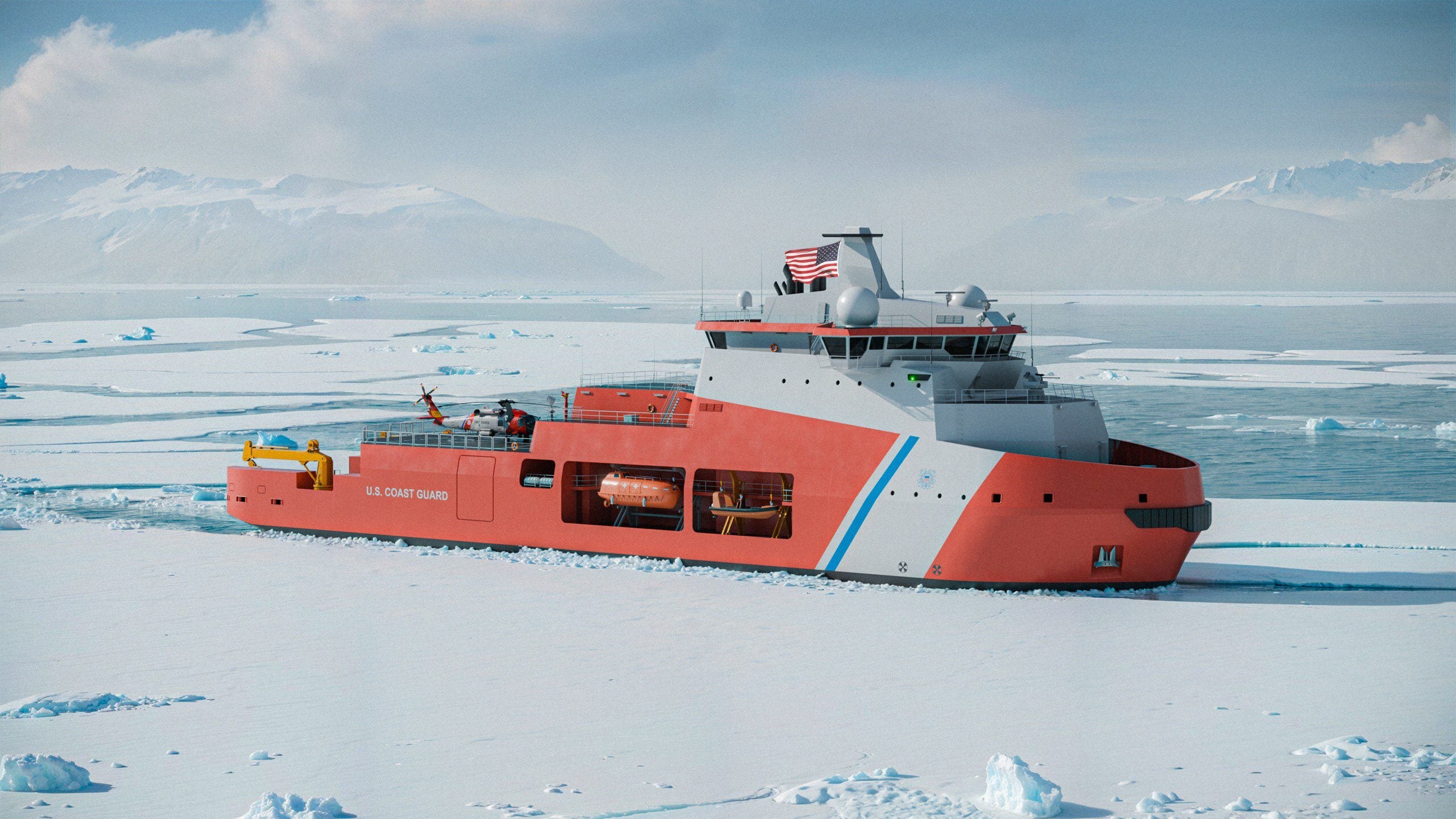
Collecting these data was not a trivial endeavor, especially in the Arctic’s ice-covered waters. The 2011 joint mission spanned nearly six weeks in August and September and employed the flagship icebreaker from each country, the U.S. Coast Guard Cutter Healy and the Canadian Coast Guard Ship Louis S. St-Laurent (LSSL), with each ship performing different functions and one ship breaking ice for the other. The partnership is an important example of the use of science as an effective tool of international diplomacy and both countries obtained more data and saved money by working together.
Each ship is equipped with different tools to accomplish its mission. The Healy is one of the few icebreakers in the world with a sophisticated mapping system called a multibeam echo-sounder that can generate beautiful three-dimensional images of the seafloor. The LSSL collected seismic data that provide a cross-section view of what is beneath the surface of the ocean floor, giving scientists insight into the thickness, geometry, and other characteristics of the geologic layers that make up the floor of the ocean.
Since the start of U.S. ECS work in the Arctic in 2003, the Healy has mapped more than 123,000 square miles of the Arctic seafloor, an area equivalent to the size of Arizona. Since 2006, the LSSL has collected 9,320 miles of seismic data, enough to cross the United States almost three times. As in previous Arctic missions, the scientists and crew were not entirely sure the ice would allow the ships to proceed, especially in the eastern portions where some of the thickest Arctic ice is found. The 2011 mission exceeded expectations.
The continental shelf is an important maritime zone, one that holds many resources and vital habitats for marine life. Each nation has sovereign rights to exploit and manage the resources of its continental shelf. From oil to tin, diamonds to gravel, metals to mussels, the resources of the seabed are enormous. Knowing how far the ECS extends, and what resources it contains, is necessary for national security and effective management of those resources.
The U.S. Extended Continental Shelf Task Force, chaired by the Department of State, will analyze the data collected on this and other cruises to determine the full extent of the U.S. continental shelf. Preliminary studies have indicated that the U.S. ECS likely totals at least one million square kilometers — an area about twice the size of California or nearly half the Louisiana Purchase — and a significant portion of that is in the Arctic.
Barbara Moore, a NOAA detailee to the Department of State, was a key participant in this summer’s final joint cruise. To view some of Barbara’s amazing photos taken during the 2011 Arctic expedition, visit the Facebook page of the Bureau of Oceans, International Environmental and Scientific Affairs or the Department of State’s Flickr page.
The U.S. ECS work is not limited to the Arctic and also includes areas in the Pacific Ocean, Bering Sea, Gulf of Mexico, Gulf of Alaska, and Atlantic Ocean. To learn more about mapping the U.S. continental shelf, please visit the webpage of the U.S Extended Continental Shelf Task Force: www.continentalshelf.gov.
Brian Van Pay serves as a Maritime Geographer in the Bureau of Oceans and International Environmental and Scientific Affairs, and Barbara Moore is serving on detail to the Bureau of Oceans and International Environmental and Scientific Affairs from the National Oceanic and Atmospheric Administration (NOAA).
Updated: October 19, 2023 (Originally published January 24, 2012)
Editorial Standards · Corrections · About gCaptain

 Join The Club