Join The Club


Offshore
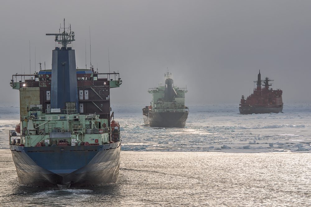
Melting Arctic Means New, and Faster, Subsea Cables
By Thomas Pfeiffer and Ilya Khrennikov (Bloomberg) –Global warming has opened up Arctic passages to new shipping routes. Now the melting ice is handing an opportunity to other industries. Submarine...