Volcanic pumice floats off the coast of New Zealand. IMAGE: New Zealand Defence Force/EPA
While on a routine maritime patrol mission yesterday between Samoa and New Zealand, a Royal New Zealand Air Force P-3 Orion spotted a rather unusual field of debris floating on the surface of the ocean southwest of Raoul Island.
This photo from the New Zealand Defense Force shows a handful of the rocks found floating in the South Pacific. Credit EPA /Landov
It was rocks… lots and lots of rocks. Pumice more specificially, and it covered an area 250 nautical miles in length and 30 nautical miles wide.
Pumice is formed when super heated, highly pressurized lava is quickly cooled, trapping air bubbles inside it.
Try to picture a can of soda instantly freezing solid as soon as you open the top, that’s pretty much how pumice is formed. Dissolved gases in the lava don’t have time to escape before the rock hardens.
According to GNS Science, the underwater volcano Monowai has been active along the Kermadec Arc and the pumice could be a result of that activity.
While transiting from Auckland to Raoul Island, HMNZS Canterbury changed course to intercepted the floating rock field to gather samples to determine which volcano they came from.
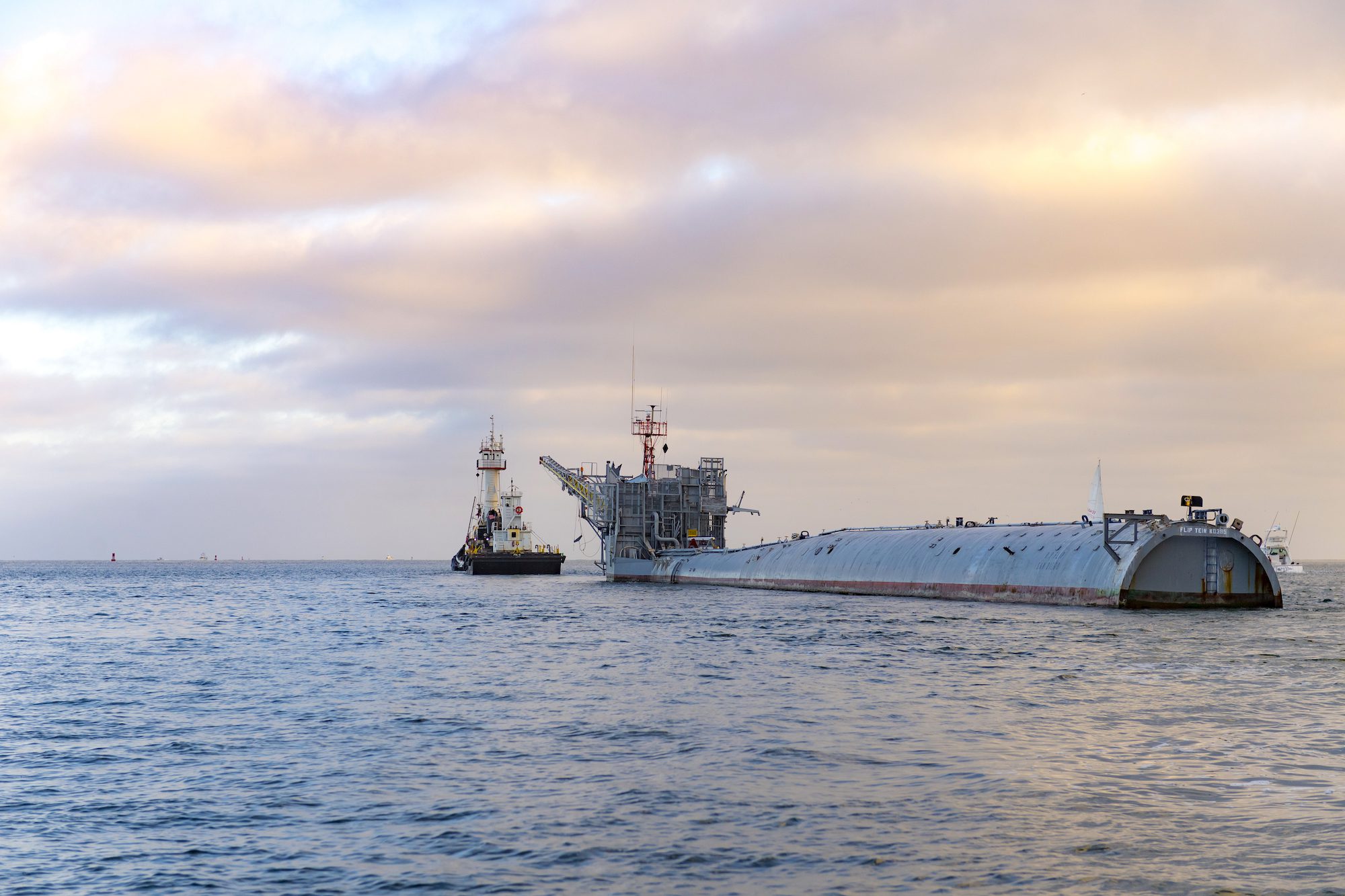
In a quiet corner of the Pacific last August, a vessel unlike any other was making what many thought was its final voyage. R/P FLIP (Floating Instrument Platform), the U.S....
“The Merchant Navy has no real way of displaying its capabilities. There is no compulsory wearing of uniforms, no street parades led by fine military bands, no pomp or ceremony...
What is the definition of misery? Answer: Seasickness One of the first questions I get asked when a landlubber finds out I work at sea is, “Do you get seasick?” In...
June 1, 2020
Total Views: 47866
Get The Industry’s Go-To News
Subscribe to gCaptain Daily and stay informed with the latest global maritime and offshore news
— just like 104,523 professionals
Secure Your Spot
on the gCaptain Crew
Stay informed with the latest maritime and offshore news, delivered daily straight to your inbox
— trusted by our 104,523 members
Your Gateway to the Maritime World!
Essential news coupled with the finest maritime content sourced from across the globe.

 Join The Club