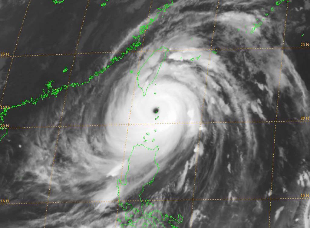
On Sept. 13 at 1800UTZ Super Typhoon Meranti had max wind of 165 knots, with hurricane force winds extending 50 NM southwest and 70 NM northeast as the storm moved 290 degrees at 9 knots. Max significant wave height was recorded to be 48 feet (14.6 meters).
1800UTZ
 By Florence Tan and Melanie Burton
SINGAPORE/MELBOURNE, Sept 13 (Reuters) – Taiwan’s commodities industry was preparing on Tuesday for heavy wind and flooding as Typhoon Meranti hurtled towards the south of the island, threatening to disrupt grain and oil shipments from its major port and a lead refinery.
As the storm strengthened in the Pacific, Taiwan’s national weather forecasters predicted it would make landfall in the Hengchun Peninsula on Wednesday.
Preparing for their second super typhoon in as many months, state-owned Taiwanese oil refiner CPC Corp and Formosa Petrochemical Corp closed their ports in Kaohsiung in the south and Mailiao in the west as a precaution, officials at both companies said.
Their refineries on the island were operating as normal on Tuesday. Formosa has a 540,000 barrels per day (bpd) refinery while CPC has an existing capacity to produce 500,000 bpd. CPC’s 220,000 bpd refinery closest to the storm’s path in Kaohsiung was mothballed in November last year.
Forecast via Ocean Weather Services:
Sept 13th 1800UTC: Max wind 165 knots with gusts to 200 knots. Radius of hurricane force winds 50 NM southwest and 70 NM northeast. Radius 50kt or higher winds: 90NM southwest to 120 NM northeast.
Movement 290 degrees at 9 knots. Max significant wave height: 48 feet (14.6 meters).
The center is passing over the Luzon Straits and then move out over the South China Sea making landfall on the coast of China about 1200UTC on the 15th with max winds of 110-120 knots.
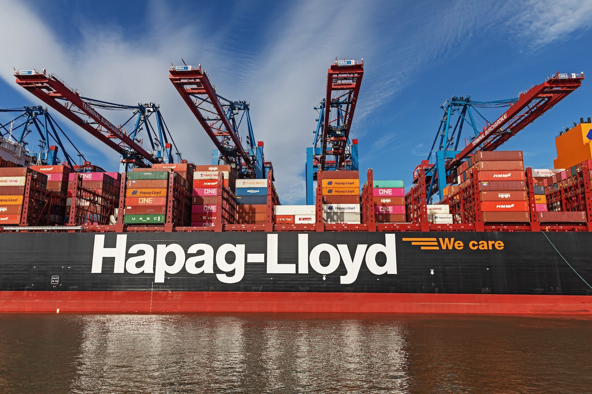
Kaohsiung at the southern tip of Taiwan is the island’s second most populous city and home to its largest port and the world’s 13th largest container terminal.
It handled 110 million tonnes of cargo last year, almost half of Taiwan’s total, according to the port operator’s annual report.
The island is a major importer of corn, wheat and soymeal for animal feed, as well as iron ore and crude oil. Rice and pig farming are among Taiwan’s main agricultural sectors.
Metals industry players were not expecting major disruption, despite the port being a major storage site for metals in the region. LME warehouses there hold more than 42,000 tonnes of nickel, 25,000 tonnes of copper and 28,000 tonnes of aluminium. But a warehouser with operations there said he was not expecting any disruption to activities.
Thye Ming Industrial Co was ready to adjust shifts at its lead refinery in Kaohsiung if the typhoon hit, said a source familiar with the matter. It sells some 120,000 tonnes of lead and lead products per year.
Heavy rainfall is more devastating for crops and industrial plants than strong winds, the source said.
Typhoon Meranti comes just over two months after the deadly typhoon Nepartak cut power, grounded flights and forced thousands to flee their homes across central and southern areas.
In 2009, Typhoon Morakot cut a swathe of destruction through southern Taiwan, killing about 700 people and causing up to $3 billion of damage.
Meranti is forecast to hit China’s east coast later on Wednesday.
(Writing by Josephine Mason; Additional reporting by Dominique Patton and Josephine Mason; Editing by Ed Davies)
(c) Copyright Thomson Reuters 2016.
Editorial Standards · Corrections · About gCaptain
This article contains reporting from Reuters, published under license.

 Join The Club


