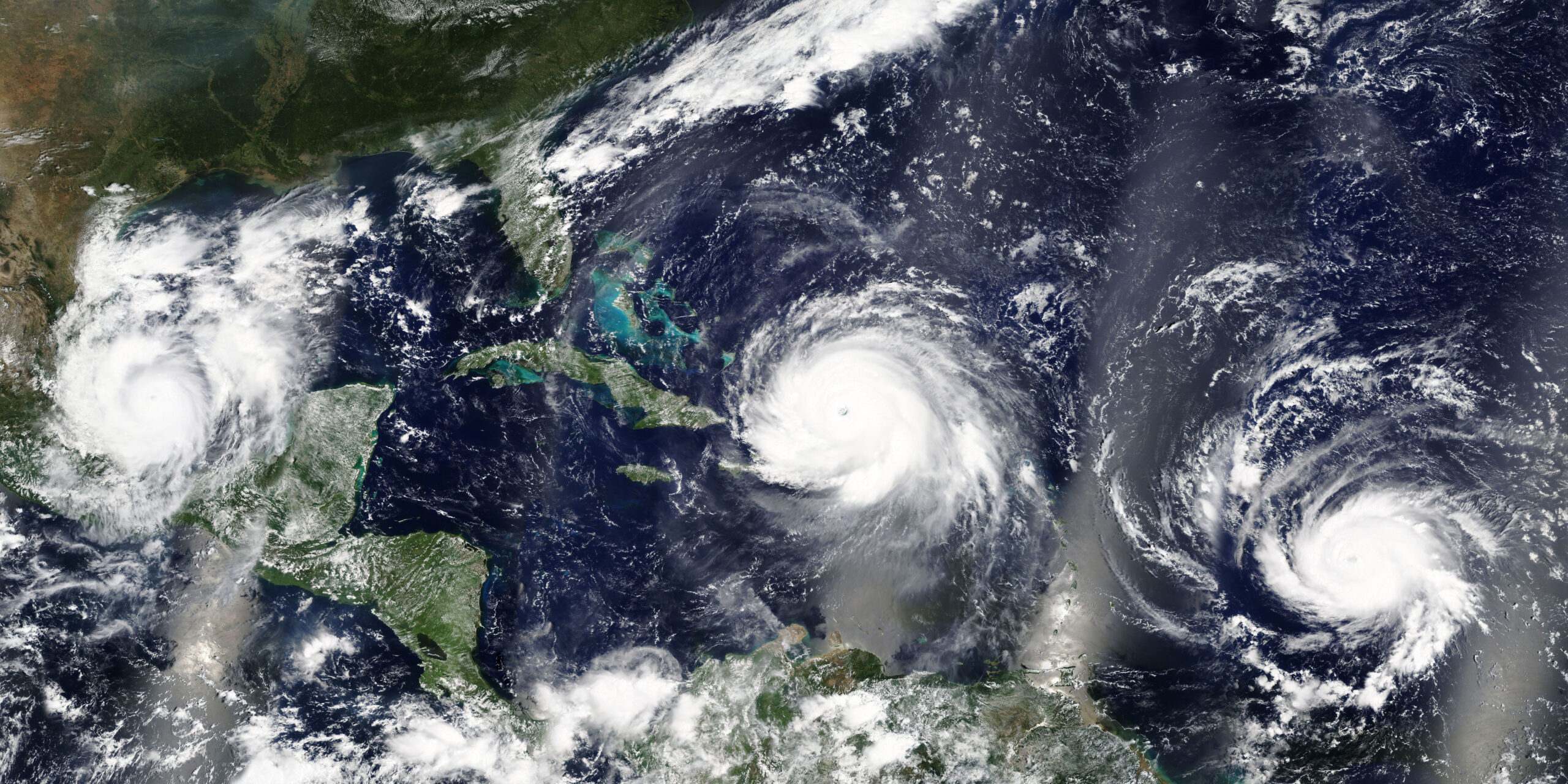
As the 2024 Atlantic hurricane season approaches, forecasts and scientific analyses predict a notably active period, potentially setting new records for storm frequency and intensity. This year’s hurricane outlook is influenced by a variety of climatic factors, with the potential to significantly impact the U.S. coastline and beyond.
Typically, the Atlantic hurricane season spans from June 1 to November 30. Over the past three decades, an average season has produced 14 named storms, 7 hurricanes, and 4 major hurricanes (Category 3 or higher, with sustained winds of at least 111 mph, capable of causing devastating damage to life and property).
This year, however, meteorology experts are predicting a surge in activity.
Colorado State University’s tropical meteorology project team anticipates 23 named storms, with 11 reaching hurricane strength and 5 achieving major hurricane status. Experts from AccuWeather predict between 20 to 25 named storms, 8 to 12 becoming hurricanes, and 4 to 7 escalating into major hurricanes.
Both forecasts suggest a potential for 4 to 6 direct impacts on the U.S.
How Sea-Surface Temperatures Drive Atlantic Hurricane Activity
A key driver behind this year’s heightened hurricane activity is above-average sea-surface temperatures across the Atlantic basin, especially notable in the Gulf of Mexico. As of the end of March 2024, these temperatures were higher than those recorded in the same month before the severe hurricane seasons of 2005 and 2020. Water temperatures across the Caribbean and through the western half of the tropical Atlantic reached or exceeded 80 degrees Fahrenheit—approximately 8 weeks ahead of schedule.
Warm ocean waters increase evaporation rates, leading to more moisture in the air. This moist environment, combined with appropriate wind patterns, can create the perfect conditions for tropical storms and hurricanes to form. Additionally, these elevated temperatures can cause storms to intensify rapidly, a phenomenon increasingly observed in recent hurricane seasons. Warmer sea-surface temperatures may also extend the hurricane season beyond its typical boundaries.
The El Niño to a La Niña Shift
Beyond warm sea-surface temperatures, the expected shift from El Niño to La Niña is a critical factor in this year’s Atlantic hurricane forecast. During El Niño events, increased wind shear across the Atlantic tends to suppress hurricane formation by disrupting the organization of storms. However, as El Niño weakens and transitions into La Niña, this wind shear diminishes, creating an environment more conducive to the formation and intensification of hurricanes.
La Niña is also associated with enhanced rising, unstable air, which is ideal for the development of thunderstorms—the building blocks of tropical storms and hurricanes. This transition is a significant reason why meteorologists predict an increase in both the number and intensity of storms this season.
Additionally, climate models have indicated that wetter-than-usual conditions are likely during the peak months of the hurricane season. Models like CanSIPS, the North American Multi-Model Ensemble (NMME), and the Climate Forecast System show that areas typically drier are now projected to experience more rainfall, which can act as a catalyst for tropical storm formation.
Will Forecasters Run Out of Hurricane Names?
Each hurricane season, the World Meteorological Organization (WMO) allocates 21 names for storms in the Atlantic basin. Given the predictions for an unusually active 2024 hurricane season, there arises a valid concern: Will forecasters run out of names?
The names for the 2024 season are Alberto, Beryl, Chris, Debby, Ernesto, Francine, Gordon, Helene, Isaac, Joyce, Kirk, Leslie, Milton, Nadine, Oscar, Patty, Rafael, Sara, Tony, Valerie, and William. Names of particularly destructive and deadly storms are retired.
If all designated names are used, the WMO has a supplemental list of names to continue naming storms. With forecasts suggesting a 10-15% likelihood of seeing more than 30 named storms, the chances are higher than usual.
What This Means for Maritime Employers & Offshore Companies
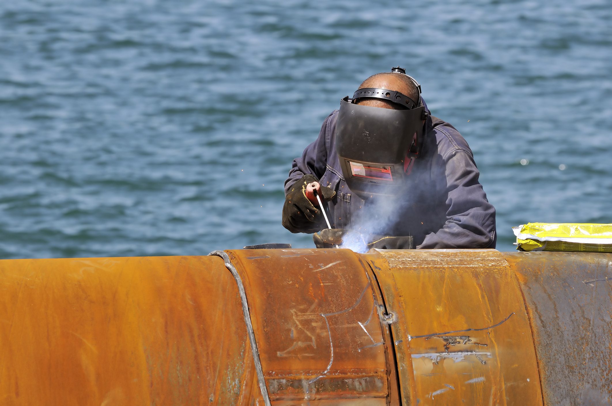
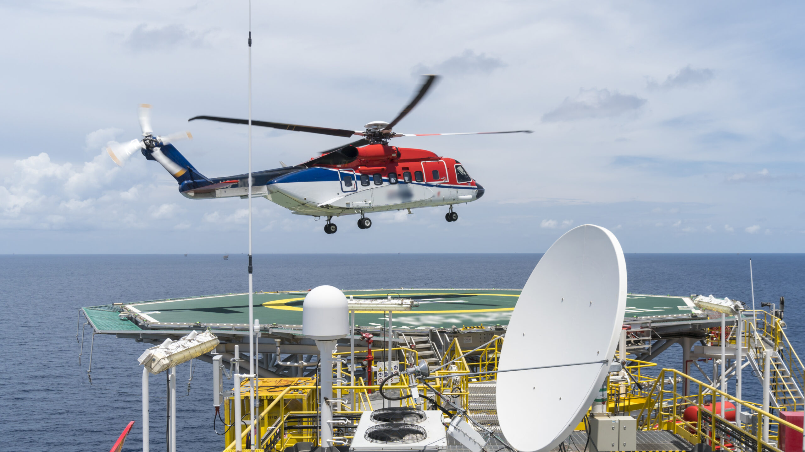
The companies that operate in the Gulf of Mexico and across the Atlantic experience the direct effects of increased hurricane activity. When faced with predictions of an above-average—possibly record-breaking—season, they must take measures to not only prevent environmental disasters but to preserve production, assets, and, most importantly, the safety of their workers.
Major hurricanes threaten vessels and offshore platforms, putting their crews and marine ecosystems at risk if they capsize or founder. Maritime companies and all offshore oil and gas employers must heed weather warnings and take appropriate steps to prevent storm-related losses. This includes:
- Equipping vessels with the latest weather tracking technologies to provide real-time storm updates.
- Implementing stringent protocols for rerouting ships away from the paths of imminent storms.
- Ensuring all safety and emergency equipment are in optimal condition.
- Performing regular safety drills and updated training for crews on emergency response procedures.
- Shutting down operations and evacuating platforms when severe storms are anticipated.
Failures by maritime companies to heed hurricane warnings can have catastrophic effects, as evidenced by the loss of the El Faro and her 33-person crew in Hurricane Joaquin in 2015, the catastrophic damage sustained by the Deepwater Asgard during Hurricane Zeta in 2020, and the near-capsizing of the Globetrotter II in Hurricane Ida in 2021 while her crew of 142 was still on board.
As we approach what will likely be a record hurricane season in the Atlantic, worker safety must come first. No matter what.
Recognized as the nation’s leading maritime law firm, Arnold & Itkin has handled some of the most prominent cases in the sector. The firm’s maritime lawyers represented more than one-third of the Deepwater Horizon crew as well as widows of lost El Faro crew members and have helped after every major maritime disaster in the past 20 years. With more than $20 billion won for clients nationwide, Arnold & Itkin stands as a beacon for those who have been injured or wronged by the wrongdoing of large corporations.
Editorial Standards · Corrections · About gCaptain

 Join The Club