Inadequate navigational assessment that did not identify the risk of strong cross currents led a towing vessel and barge striking a bridge near Fort Pierce, Florida last August, the National Transportation Safety Board said in a Marine Accident Brief released this week.
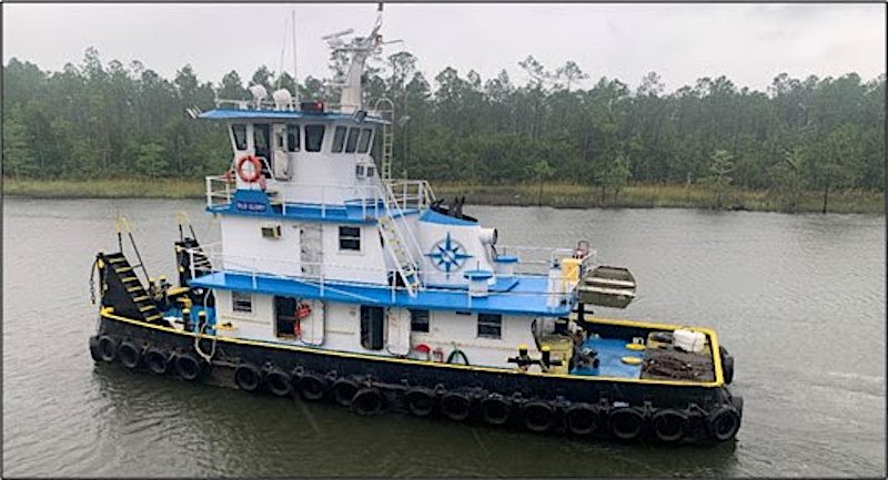
The U.S.-flag towing vessel Old Glory was pushing the loaded barge Cole northbound on the intracoastal waterway August 19, 2020, when it struck the protective fendering of the Peter P. Cobb Memorial Bridge, causing causing nearly $641,000 in damages to the fendering and $5,000 to the barge. No injuries or pollution were reported.
According to the NTSB, as the tow approached the bridge the relief captain slowed the vessel, which reduced the maneuverability of the tow while the current pushed it outside the channel. According to the United States Coast Pilot, there is a strong cross current at the Peter P. Cobb Memorial Bridge.
Towing vessel regulations require the officer of a navigational watch to conduct a navigational assessment, using all resources available to gather information on conditions that could impact the safety of navigation. Had the relief captain been aware of the intracoastal waterway chart cautionary note and information contained in the United States Coast Pilot, he would have been better prepared to address the risk of strong currents often seen near the Peter P. Cobb Memorial Bridge, the NTSB said.
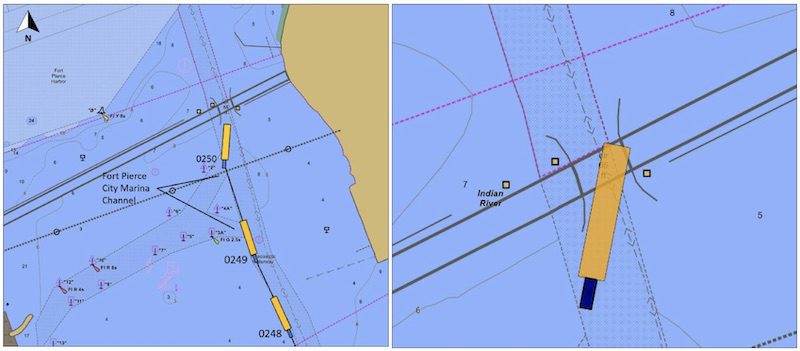
Left: AIS trackline of the Old Glory and Cole outside of and alongside the western boundary of the ICW. (Source: Portvision) Right: The approximate position of the tow after striking the protective fendering system under the Peter P. Cobb Memorial Bridge. (Source: National Oceanic and Atmospheric Administration [NOAA] electronic navigation chart USFL88M)
The NTSB determined the probable cause to be an inadequate navigational assessment that did not identify the risk of strong cross-currents in the area of the bridge transit.?
“The Coast Pilot and navigational charts are valuable sources to mariners that contain amplifying information on local conditions such as tides and currents, channel characteristics and bridge descriptions,” the report said. “It is important to check the Coast Pilot and charts when developing voyage plans to improve knowledge of an area and prepare for a safe passage.”
A mechanical fault left a Bass Strait cargo vessel without steering for more than eight hours after the crew was unable to use an available backup steering system because the...
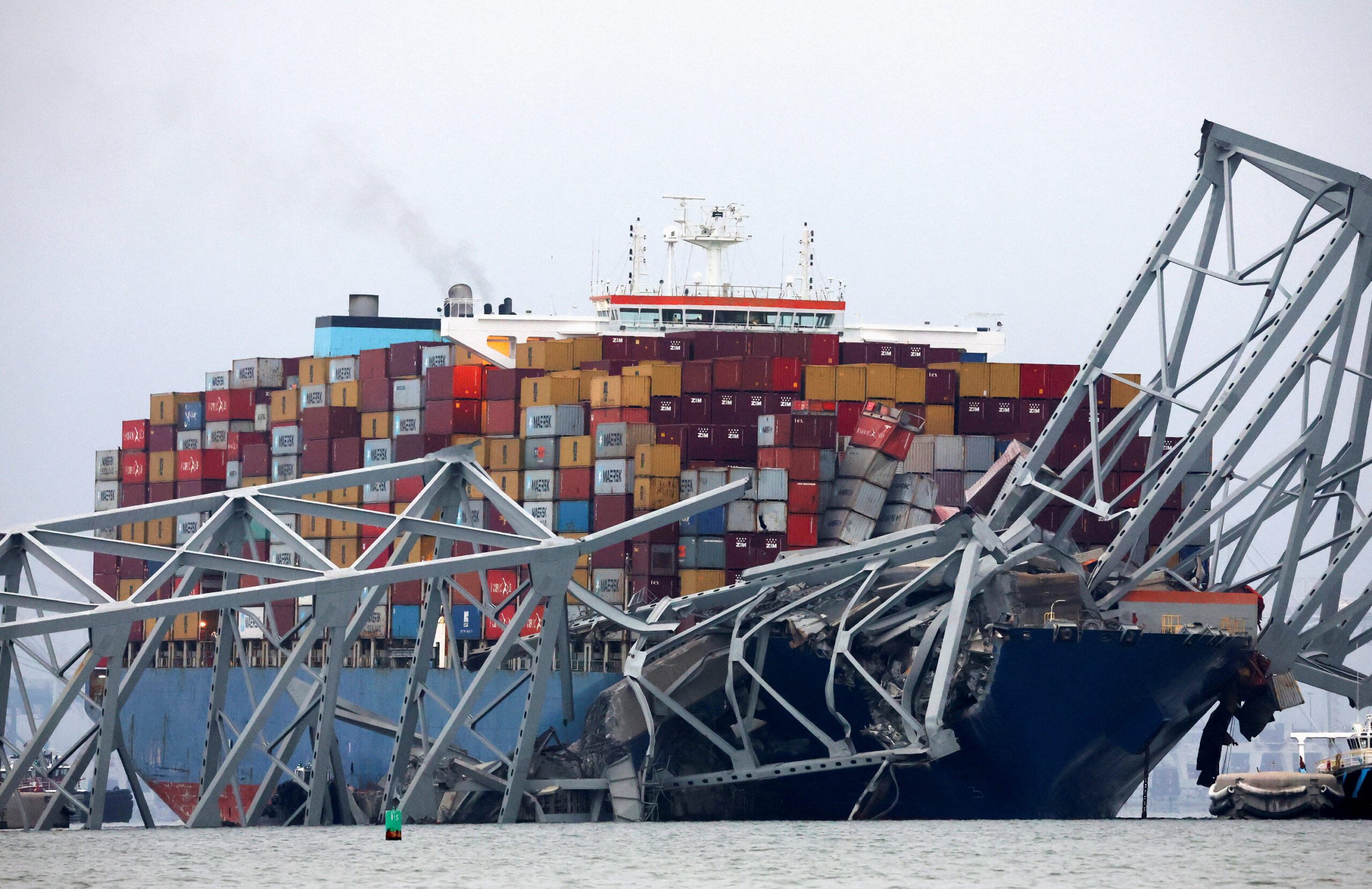
Federal prosecutors have brought criminal charges against the foreign ship management companies and a technical superintendent tied to the catastrophic collapse of Baltimore’s Francis Scott Key Bridge, marking a major...
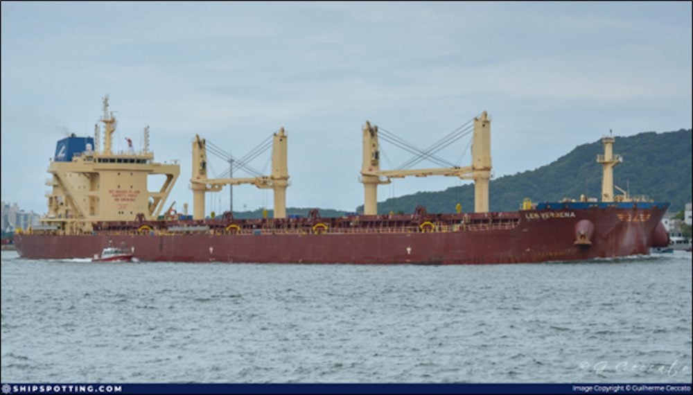
The National Transportation Safety Board (NTSB) has determined that a failed O-ring seal and misaligned fuel system components caused a major engine room fire aboard the bulk carrier Lem Verbena...
April 7, 2026
Total Views: 1606
Get The Industry’s Go-To News
Subscribe to gCaptain Daily and stay informed with the latest global maritime and offshore news
— just like 104,716 professionals
Secure Your Spot
on the gCaptain Crew
Stay informed with the latest maritime and offshore news, delivered daily straight to your inbox
— trusted by our 104,716 members
Your Gateway to the Maritime World!
Essential news coupled with the finest maritime content sourced from across the globe.

 Join The Club