By Brian K. Sullivan (Bloomberg) —
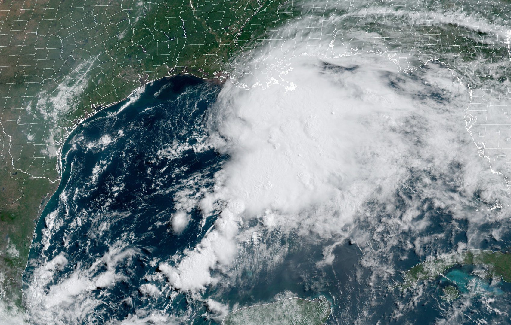
The U.S. Gulf coast is getting its first tropical-storm warnings of the year, stretching from Louisiana to Florida, including New Orleans, the National Hurricane Center said.
Though still not officially at tropical storm-strength, the system is gathering power in the Gulf of Mexico about 475 miles (764 kilometers) south of Morgan City, Louisiana, and is forecast to bring heavy rain and winds to the region over the next 36 hours.
“The system is expected to produce heavy rainfall and considerable flash, urban and small stream flooding beginning Friday and continuing through the weekend along the central Gulf coast and spreading northeastward into the Southern Appalachians,” the hurricane center said.
Its maximum sustained winds are currently about 30 miles-per-hour. If that reaches 39 miles-per-hour and it maintains its structure, it would be upgraded to Tropical Storm Claudette. The storm may bring flooding rains across New Orleans, before sweeping across the U.S. South.
Atlantic storms are closely watched because they can disrupt global energy, agriculture and insurance markets. The U.S. Gulf of Mexico is home to about 16% of the nation’s crude oil production and 2% of its gas output. In addition, about 48% of American refining capacity is located along the Gulf Coast, and Florida is the world’s second-largest source of orange juice.
The storm may trigger evacuations of some non-essential personnel on off-shore platforms, but it probably won’t be widespread, said Jim Rouiller, lead meteorologist at Energy Weather Group.
“I believe there will be little or no long-term impacts to offshore operations,” Rouiller said.
Two named storms have already formed in the Atlantic this year, and forecasters are expecting an above average season.
© 2021 Bloomberg L.P.
Sign up for our newsletter

 Join The Club


