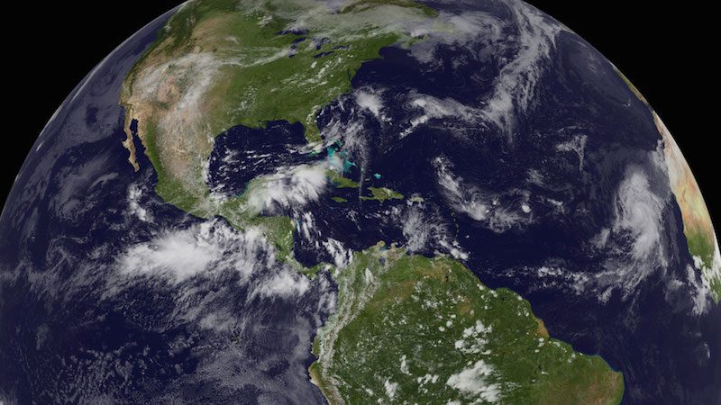
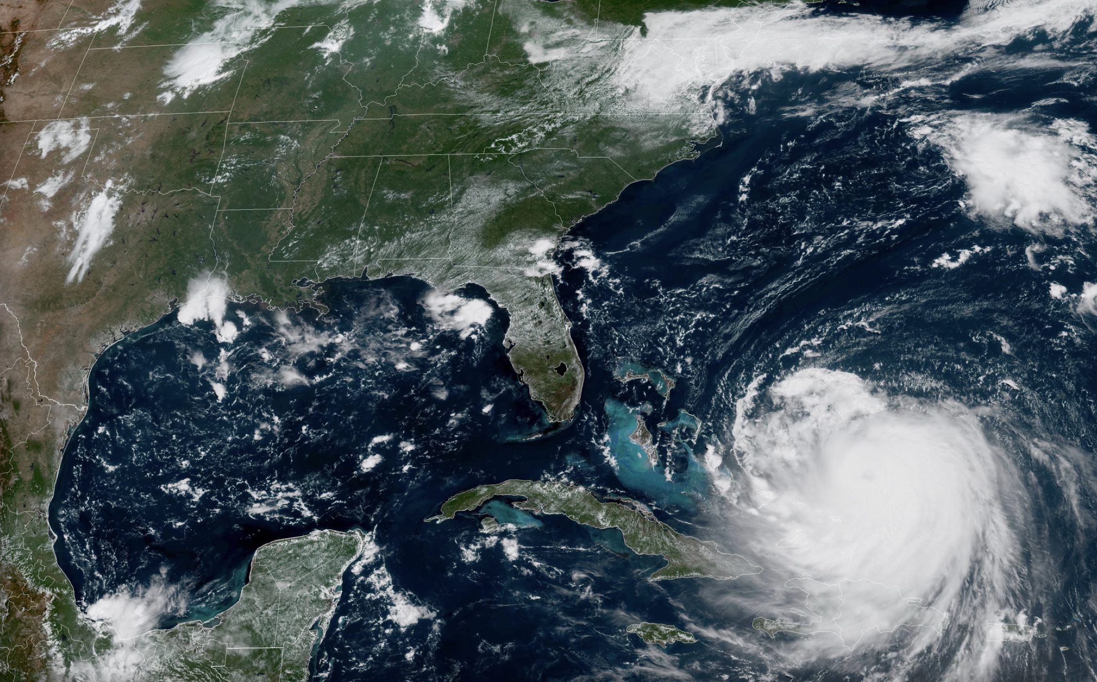
Humberto was the first of only two Atlantic hurricanes in 2013. It reached peak intensity, with top winds of 90 mph, in the far eastern Atlantic. Image courtesy NOAA
The U.S. should expect a near-normal or below-normal Atlantic hurricane season in 2014, according to the National Oceanic and Atmospheric Administration’s Climate Prediction Center, which issued its annual hurricane season outlook on Thursday.
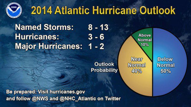
According to NOAA, the outlook calls for a 50 percent chance of a below-normal season, a 40 percent chance of a near-normal season, and only a 10 percent chance of an above-normal season.
For the six-month hurricane season, which begins June 1 and runs through November 30th, NOAA predicts a 70 percent likelihood of 8 to 13 named storms (winds of 39 mph or higher), of which 3 to 6 could become hurricanes (winds of 74 mph or higher), including 1 to 2 major hurricanes (Category 3, 4 or 5; winds of 111 mph or higher), NOAA predicts.

These numbers are near or below the seasonal averages of 12 named storms, six hurricanes and three major hurricanes, based on the average from 1981 to 2010. The Atlantic hurricane region includes the North Atlantic Ocean, Caribbean Sea and Gulf of Mexico.
The main driver of this year’s outlook is the anticipated development of El Niño this summer, according to NOAA.
El Niño, referring to a periodic warming in sea surface temperatures across the central and east-central Equatorial Pacific, causes stronger wind shear, which reduces the number and intensity of tropical storms and hurricanes, NOAA says. El Niño can also strengthen the trade winds and increase the atmospheric stability across the tropical Atlantic, making it more difficult for cloud systems coming off of Africa to intensify into tropical storms.
“Thanks to the environmental intelligence from NOAA’s network of earth observations, our scientists and meteorologists can provide life-saving products like our new storm surge threat map and our hurricane forecasts,” said Kathryn Sullivan, Ph.D., NOAA administrator. “And even though we expect El Niño to suppress the number of storms this season, it’s important to remember it takes only one land falling storm to cause a disaster.”
Of note, this year NOAA is rolling out new tools at the National Hurricane Center, including an experimental mapping tool that will be used to show communities their storm surge flood threat, as well as additional testing of NOAA’s Hurricane Weather Research and Forecasting model (HWRF), which this year shows a 10 percent improvement in the model compared to last year.
NOAA warns that the seasonal hurricane outlook is not a hurricane landfall forecast, as it does not predict how many storms will hit land or where a storm will strike.
“It only takes one hurricane or tropical storm making landfall to have disastrous impacts on our communities,” said Joe Nimmich, FEMA associate administrator for Response and Recovery. “Just last month, Pensacola, Florida saw five inches of rain in 45 minutes – without a tropical storm or hurricane. We need you to be ready.”
NOAA adds that the outlook for the Eastern Pacific basin is for a near-normal or above-normal hurricane season, and the Central Pacific basin is also expected to have a near-normal or above-normal season.
NOAA will issue an updated outlook for the Atlantic hurricane season in early August, just prior to the historical peak of the season.
Editorial Standards · Corrections · About gCaptain

 Join The Club


