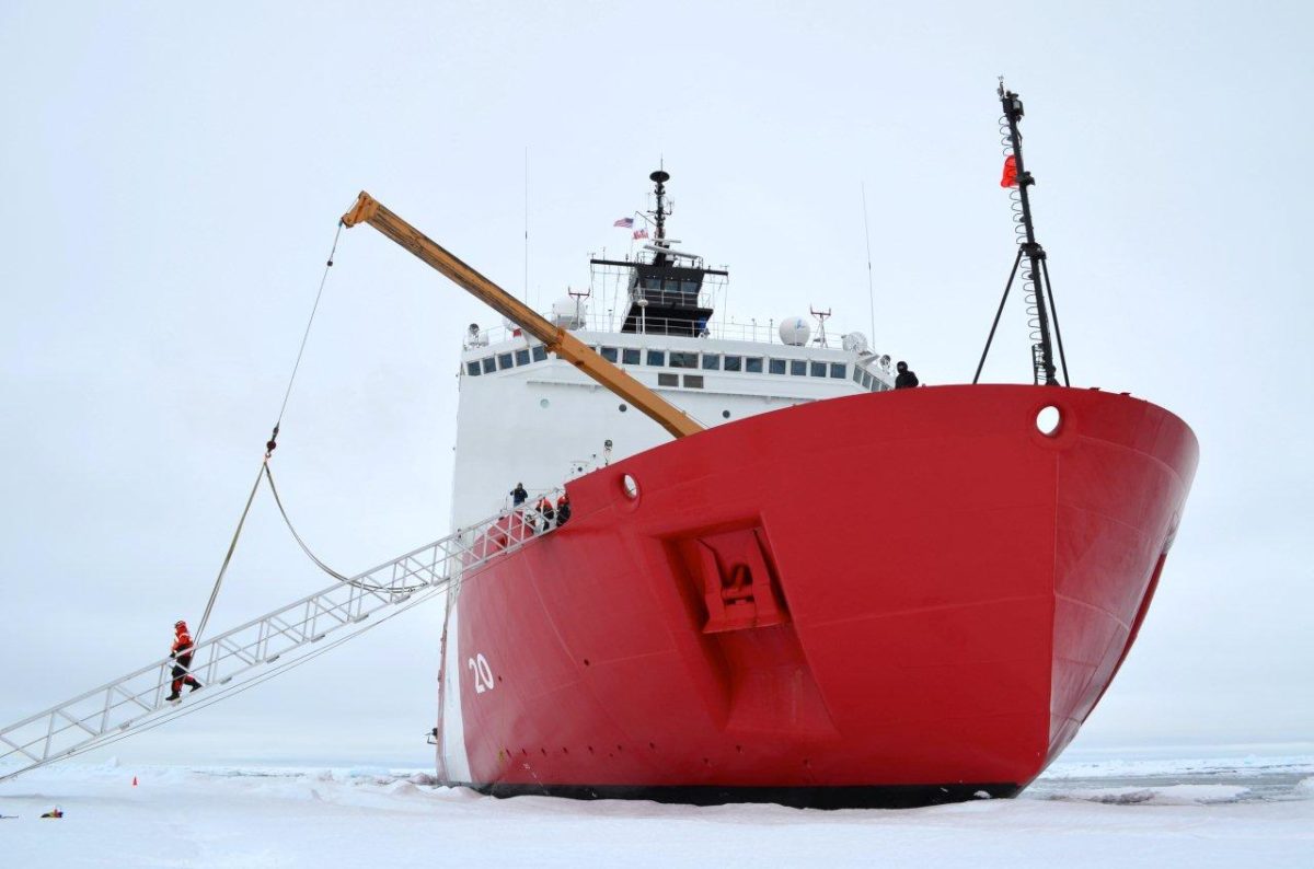
US Coast Guard Icebreaker Healy resting next to the ice floe (Photo by LCDR Lowry, USCG)
by Lauren Steenson (USCG) Modern day explorers from Arctic nations are setting their sights north to map the seabed and establish sovereign rights to resources in an icy area that just over a decade ago was virtually inaccessible.
Coastal nations have sovereign rights to ocean resources that extend 300 miles past the country’s coastline. Under the Law of the Sea treaty, coastal nations may also claim resources discovered if the extended continental shelf (ECS) of the nation extends past the 300-mile exclusive economic zone.
“The convention allows the opportunity for a coastal state to extend sovereign rights over its resources of the seafloor and sub-seafloor far beyond what every coastal state is entitled to,” said Dr. Larry Mayer, director of the Center for Coastal and Ocean Mapping. “The Law of the Sea Convention is basically a constitution for the oceans. In one article, just 617 words allow the redefinition of the continental shelf which allows a coastal nation sovereign rights of the seabed.”
Congress has charged Mayer and his team from University of New Hampshire’s (UNH) have worked closely with the U.S. Coast Guard since 2003 to gather data on the ECS in the Arctic. The premier asset for the job is Coast Guard Cutter Healy, the service’s most technologically advanced polar icebreaker, homeported in Seattle, Washington.
“The Coast Guard has been an amazing collaborator.” said Mayer. “When we first started, the Healy was one of the only icebreakers in the Arctic that used multi-beam sonar technology.” During Mayer’s first cruise with Healy in 2003, they discovered a 10,000-foot high seamount approximately 400 miles north of Barrow, Alaska, which they named the Healy Seamount.
“This is our ninth trip to the Arctic. Four years in a row, we actually did a two-ship operation with the Canadian icebreaker Louis St. Laurent,” said Mayer. “They collected information which allows us to look deeper into the seafloor structure. Up until this year, they did not have the ability to map like we do with the multibeam sonar, so we worked together.”
The multibeam sonar is one of the key pieces of equipment scientists use aboard the Healy. Mayer described it as a very sophisticated echo-sounding system that puts together a 3-D picture of the seafloor that allows them to see if the seafloor meets the characteristics of the ECS.
On a computer screen, Mayer showed a three-dimensional, colorful image resembling a mountain range. The different colors correlate with the depth of the ocean. These mountains and canyons on the seafloor are what the multibeam sonar charts through the echo-sounding technology.
Over the past eight years of studying the Arctic seafloor, Mayer and his team have mapped more than 164,000 square miles of previously inaccessible waters. This summer, the destination was a previously mapped underwater valley to determine whether the canyon is part of the continental shelf.
“What we’re looking for is this big valley so we can dredge its steep walls,” said Mayer. “We’re going to drag a dredge, or a big, steel basket up the wall to try and break pieces of rock off to determine what it’s made out of. The dredge is actually for the Canadians mostly,” said Mayer. “Canada has collected seismic data for us (the U.S.) this year, so we are dredging and mapping for them.”
Just after a pink and orange sunrise over ice covered waters on Friday, Sept. 23, the bundled up Healy deck crew gathered on the fantail to deploy the steel dredge with a crane. The crane slowly lifted the chainmail basket off the deck, boomed it overboard, and lowered it into the trench of open water broken by the bridge team that morning.
In the aft conning room, the scientists kept their eyes on the depth and position of the dredge while the deck chief and first lieutenant monitored the safety of their crewmembers on deck.
The cable attached to the dredge was more than a 1/2 inch thick, but the resistance of pulling the dredge up a cliff face through the water tightens and stretches the cable like a bungee cord. If it were to break under strain, it could whip through anything in its path.
It was hours until they saw the dredge again. The scientists watched eagerly on deck in orange insulated suits waiting to dig through the muddy dredge basket like a Christmas present.
The first rock they uncovered was just bigger than a softball. After dumping the contents out on deck, they started sifting through on their hands and knees finding more small samples, enough to fill a five-gallon bucket.
Then the equipment was reset, and the entire process was completed again. By evening, the deck crew had executed another successful dredge which yielded further valuable rock samples for the science members to study.
“We recovered rocks from both dredges, which is great. It turned out very successful,” said Mayer. “The mission was very constrained, but everyone has bent over backward to mitigate weather and time challenges.”
The overarching goal of both the Canadian mission and the U.S. mission is to establish the limits of the ECS by determining the shape of the seafloor, thickness of the sediment, and the nature of the rocks. The mapping, seismic data, and dredging operations are pieces of the puzzle to determine if the limits of the ECS can be extended.
Healy’s commanding officer, Capt. Jason Hamilton, agreed with Mayer that it is a privilege to serve the United States at the end of the planet. Hamilton said, “The Healy crew is honored to act as the backbone for groundbreaking science.”
This article was originally written by Lauren Steenson, USCG, for Coast Guard Compass.
The U.S. Coast Guard’s sole heavy icebreaker, the Polar Star, has returned to its homeport of Seattle after completing a months-long Antarctic deployment supporting critical resupply operations for U.S. research stations.
The U.S. Coast Guard has issued a request for information (RFI) as it moves forward with plans to acquire up to seven new light icebreakers to replace an aging fleet and ensure year-round navigation in ice-prone waterways across the Northeast and Great Lakes.
The US Coast Guard has confirmed plans to spend $323 million expanding and modernizing its Seattle icebreaker base, underscoring the service’s push to strengthen its Arctic presence as new heavy icebreakers enter the fleet later this decade.
February 2, 2026
Total Views: 2049
Get The Industry’s Go-To News
Subscribe to gCaptain Daily and stay informed with the latest global maritime and offshore news
— just like 105,336 professionals
Secure Your Spot
on the gCaptain Crew
Stay informed with the latest maritime and offshore news, delivered daily straight to your inbox
— trusted by our 105,336 members
Your Gateway to the Maritime World!
Essential news coupled with the finest maritime content sourced from across the globe.

 Join The Club