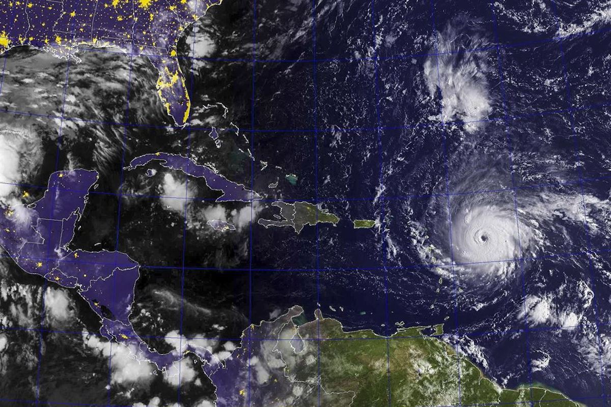
A satellite image shows the eye of Hurricane Irma, now a Category 5 storm, in the Atlantic Ocean, Sept. 5, 2017. Some fluctuations in intensity are likely during the next day or two as the hurricane moves into the Caribbean and may turn toward Puerto Rico and Florida. U.S. Navy photo
By Brian K Sullivan (Bloomberg) Hurricane Irma, the most powerful storm to form in the open Atlantic Ocean, was barreling toward Puerto Rico late Tuesday on a path that may bring it ashore in Florida and destroy so much property that damages may surpass Hurricane Katrina.
Irma has sent cruise lines and insurance stocks plunging, with Barclays Plc estimating insured losses in a worst-case scenario at $130 billion. Natural gas slid on speculation that the storm will wipe out demand for the power-plant fuel, and orange and cotton futures surged on potential crop damage.
Irma comes less than two weeks after Hurricane Harvey smashed ashore in Texas, knocking offline almost a quarter of U.S. oil refining capacity and causing widespread damage, power outages and flooding. While the latest models show the latest storm veering away from gas and oil platforms off the coast of Texas and Louisiana, sparing Houston more devastation, it threatens to wreak havoc upon the Caribbean islands and Florida.
Related Book: The Perfect Storm: A True Story of Men Against the Sea 1st Edition by Sebastian Junger
Irma “is the kind of storm where you get thousands of lives lost,” said Chuck Watson, a Savannah, Georgia-based disaster modeler with Enki Research. “This is not going to be the big slow-motion flood like Harvey — this is a real, honest-to-God hurricane.”
Irma’s top winds were 185 miles (300 kilometers) an hour late Tuesday, making the system a Category 5, the highest measure on the five-step Saffir Simpson scale. It’s on track to strike or graze Caribbean islands from Antigua to Puerto Rico through Wednesday, and Cuba by Saturday, the U.S. National Hurricane Center said in an advisory at about 8 p.m. New York time.
Were Irma to hit Miami with the same force as a Category 4 storm that struck in 1926, insured losses would reach $125 billion to $130 billion, Jay Gelb, an analyst at Barclays wrote in a note. Uninsured losses would be on top of that. Losses from Katrina, both insured and uninsured, reached $160 billion in 2017 dollars after it slammed into New Orleans in 2005, according to the U.S. National Centers for Environmental Information.
Losses across the Caribbean could easily reach $8 billion to $10 billion, Watson said. The islands that take a direct hit could be destroyed and San Juan, Puerto Rico, could be grazed by winds of at least 111 miles per hour.
$200 Billion
While it’s too early to say the exact track toward Florida, some damage modeling for a direct hit on Miami reach into the $200 billion range, he said.
Florida is the world’s largest producer of orange juice after Brazil, with most of the state’s crop located in the lower two-thirds of the peninsula. Orange juice for November delivery rose 6.2 percent to $1.45 a pound on ICE Futures U.S. Tuesday. Cotton jumped by the 3-cent exchange limit, or 4.2 percent, to 74.88 cents a pound.
“Our biggest concern is Florida citrus,” said Joel Widenor, co-founder of Commodity Weather Group LLC in Bethesda, Maryland. “There is big enough fruit on the trees that the fruit could drop off, it could literally get blown off.”
Three Hurricanes
Only three Category 5 hurricanes have hit the contiguous 48 U.S. states, according to Weather Underground: The Labor Day Hurricane of 1935 that devastated the Florida Keys, Hurricane Camille in 1969 and Hurricane Andrew that cut across Florida in 1992.
While a ridge area of high pressure over the Gulf of Mexico may cause Irma to take a sharp right toward Florida once it reaches Hispaniola, Bloomberg New Energy Finance meteorologist Shunondo Basu cautioned, “Computer model tracks beyond 72 hours can shift, especially when a storm is over a body of water.”
A strike on Florida would be the first time since 1964 that the U.S. was hit by back-to-back storms of Category 3 or more and only the second time since 1851, said Bob Henson, a meteorologist with Weather Underground in Boulder, Colorado.
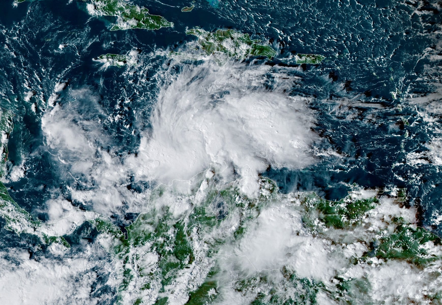
By Brian K. Sullivan (Bloomberg) –A system swirling across the central Caribbean has been named Tropical Storm Iota as it heads toward hurricane-ravaged Central America. Iota is forecast to reach...
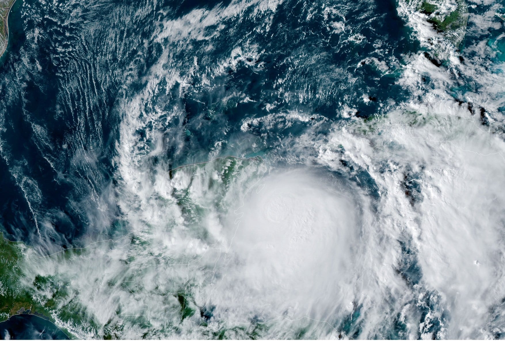
By Erwin Seba HOUSTON, Oct 26 (Reuters) – Oil producers on Monday shut offshore production and pulled workers off platforms in the U.S. Gulf of Mexico as the 27th named...
By Erwin Seba HOUSTON, Oct 26 (Reuters) – Oil producers on Monday were evacuating offshore production platforms in the U.S. Gulf of Mexico as the 27th named storm of the...
October 26, 2020
Total Views: 69
Get The Industry’s Go-To News
Subscribe to gCaptain Daily and stay informed with the latest global maritime and offshore news
— just like 104,716 professionals
Secure Your Spot
on the gCaptain Crew
Stay informed with the latest maritime and offshore news, delivered daily straight to your inbox
— trusted by our 104,716 members
Your Gateway to the Maritime World!
Essential news coupled with the finest maritime content sourced from across the globe.

 Join The Club