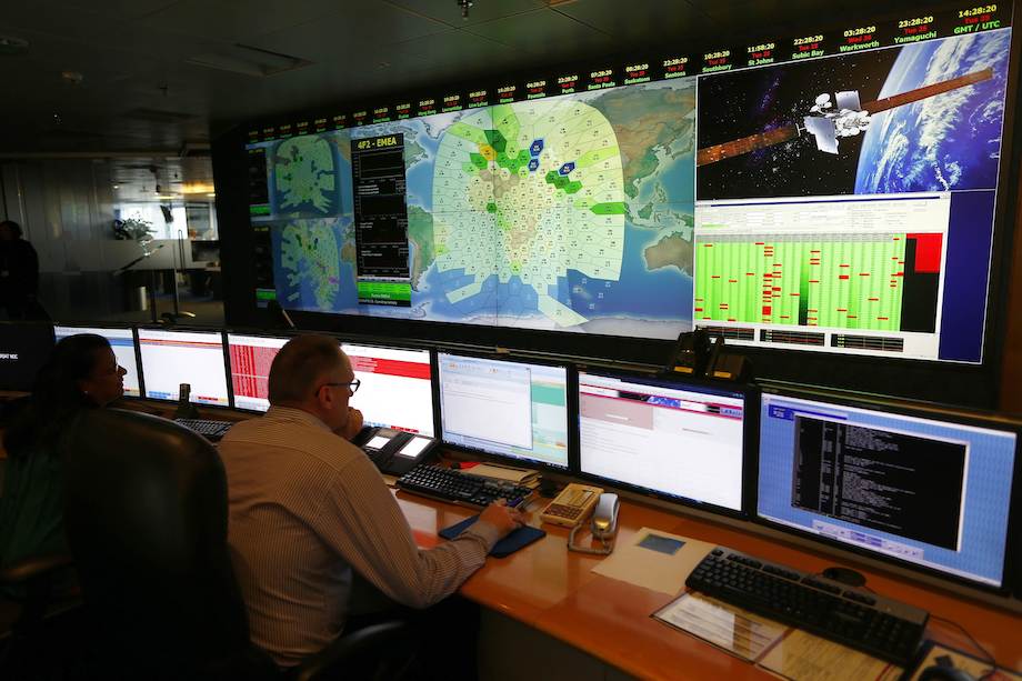
A member of staff at satellite communications company Inmarsat poses in front of a section of the screen showing the southern Indian Ocean to the west of Australia, at their headquarters in London March 25, 2014. REUTERS/Andrew Winning
By Paul Sandle
LONDON (Reuters) – Britain’s Inmarsat used a wave phenomenon discovered in the nineteenth century to analyse the seven pings its satellite picked up from Malaysia Airlines Flight MH370 to determine its final destination.
The new findings led Malaysian Prime Minister Najib Razak to conclude on Monday that the Boeing 777, which disappeared more than two weeks ago, crashed thousands of miles away in the southern Indian Ocean, killing all 239 people on board.
The pings, automatically transmitted every hour from the aircraft after the rest of its communications systems had stopped, indicated it continued flying for hours after it disappeared from its flight path from Kuala Lumpur to Beijing.
From the time the signals took to reach the satellite and the angle of elevation, Inmarsat was able to provide two arcs, one north and one south that the aircraft could have taken.
Inmarsat’s scientists then interrogated the faint pings using a technique based on the Doppler effect, which describes how a wave changes frequency relative to the movement of an observer, in this case the satellite, a spokesman said.
Britain’s Air Accidents Investigation Branch was also involved in the analysis.
The Doppler effect is why the sound of a police car siren changes as it approaches and then overtakes an observer.
“We then took the data we had from the aircraft and plotted it against the two tracks, and it came out as following the southern track,” Jonathan Sinnatt, head of corporate communications at Inmarsat, said.
The company then compared its theoretical flight path with data received from Boeing 777s it knew had flown the same route, he said, and it matched exactly.
The findings were passed to another satellite company to check, he said, before being released to investigators on Monday.
The paucity of data – only faint pings received by a single satellite every hour or so – meant techniques like triangulation using a number of satellites or GPS (Global Positioning System) could not be used to determine the aircraft’s flight path.
KEEPING TRACK
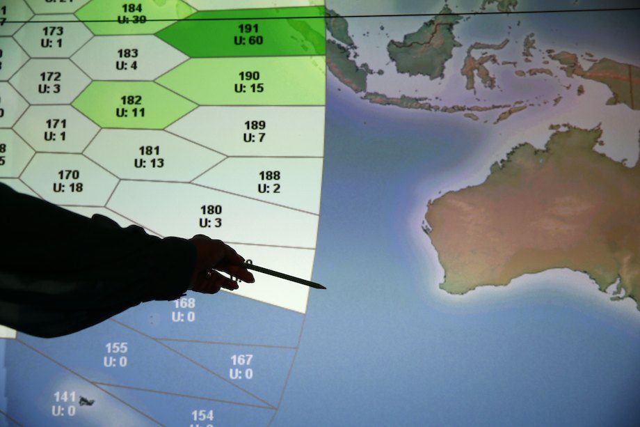
REUTERS/Andrew Winning
Stephen Wood, CEO of All Source Analysis, a satellite analytic firm, said it seemed that the investigators had narrowed down the area substantially. “But it’s still a big area that they have to search,” he said.
The incident is likely to spur a review of aviation rules, especially related to communications equipment and the ability to turn off a plane’s transponder, he added.
But it is too early to say what that would entail because it remains unknown what caused the plane to divert from its original course.
“This type of incident will cause everyone who flies airplanes commercially with passengers to be really pressed for a whole new line of ways to keep track of their precious cargo,” said Wood, a former U.S. intelligence officer who headed the analysis unit of DigitalGlobe Inc, a satellite imagery firm, until July 2013.
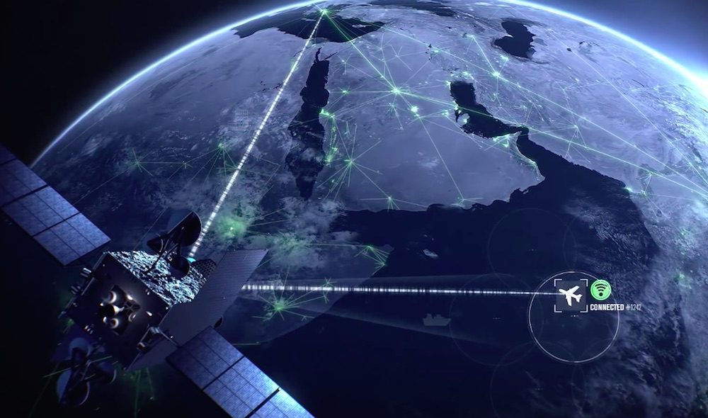
Inmarsat said for a relatively low cost its satellites could keep tabs on flights and provide the data exchanged between the air and the ground to help organise routes to save time and fuel.
Its systems, which are widely used in shipping, have been embedded into surveillance and communications technologies that allow air traffic controllers to build up a picture of where aircraft are, and to better manage routes.
“If you have that (…) capability you get a preferred routing at the right altitude that makes your aircraft more fuel efficient, but if you don’t have it you have to fly lower and get less priority in air-traffic control,” he said.
The system is used in planes in the North Atlantic, Inmarsat’s vice-president for aeronautics, David Coiley, told Reuters earlier this month, but it is not commonly used in all parts of the world.
Sinnatt said on Monday that such a facility would cost about $10 per flight. “It is something we have been pushing the industry to do because it significantly adds to safety,” he said. Other satellite providers are also developing tracking systems. (Additional reporting by Alwyn Scott in New York; Editing by Robin Pomeroy)
Inmarsat’s newest and most powerful geostationary satellite to date has entered into commercial service, the company announced today. Inmarsat said that the introduction of its GX5 satellite will provide additional...
Maritime startups and connectivity will play a key role in bringing the benefits of digitalization to the shipping and offshore sectors, according to a new study, the conclusions of which...
By Thomas Seal (Bloomberg) — Billionaire Charlie Ergen’s EchoStar Corp. made its 3.2 billion pound ($4.2 billion) proposal to buy Inmarsat Plc public in an appeal to investors on Friday, with hours...
July 6, 2018
Total Views: 34
Get The Industry’s Go-To News
Subscribe to gCaptain Daily and stay informed with the latest global maritime and offshore news
— just like 105,059 professionals
Secure Your Spot
on the gCaptain Crew
Stay informed with the latest maritime and offshore news, delivered daily straight to your inbox
— trusted by our 105,059 members
Your Gateway to the Maritime World!
Essential news coupled with the finest maritime content sourced from across the globe.

 Join The Club