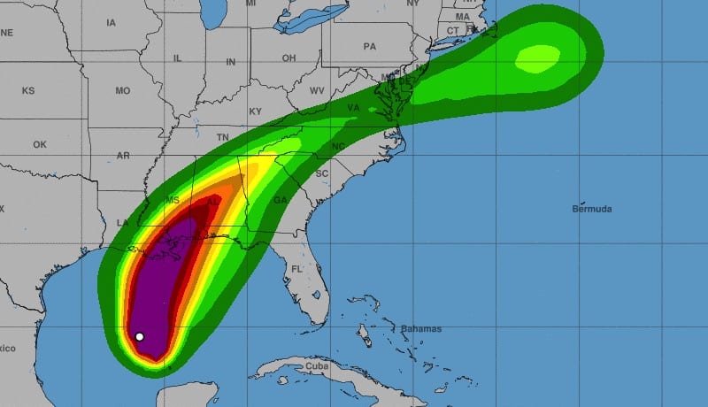
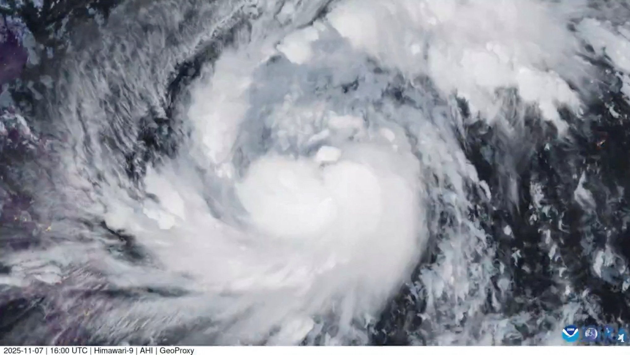
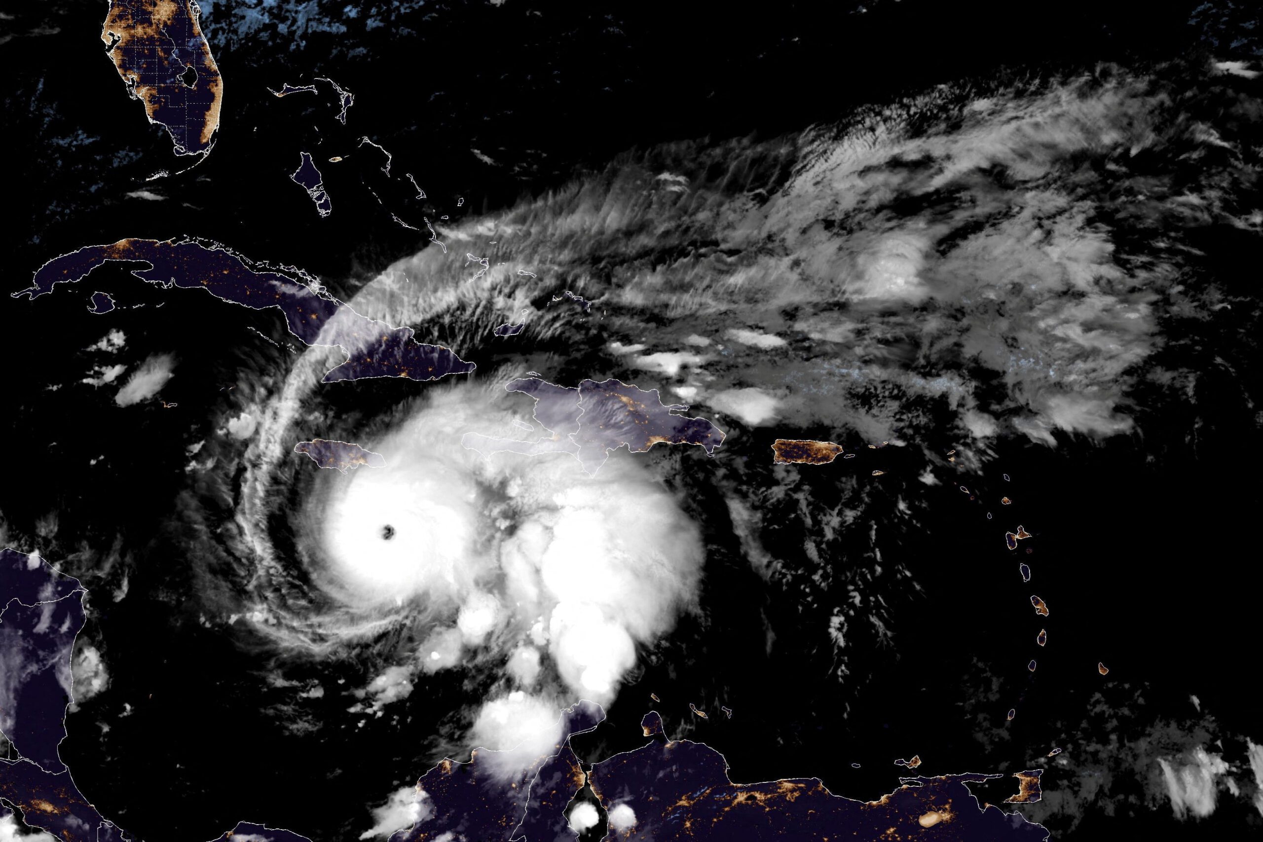
NOAA Hurricane Zeta Wind Speed Probabilities for 1AM CDT WED OCT 28 2020
By Brian K. Sullivan (Bloomberg) — Zeta is forecast to strengthen to a Category 2 hurricane before making landfall in southeastern Louisiana on Wednesday, possibly racking up $1 billion in damage.
The storm’s maximum sustained winds are likely to increase to 100 miles (161 kilometers) per hour, the U.S. National Hurricane Center said in its latest advisory, making it a Category 2 hurricane on the Saffir-Simpson scale. Wind speed rose to 85 miles an hour as of 5 a.m. New York Times.
RELATED BOOK: Isaac’s Storm: A Man, a Time, and the Deadliest Hurricane in History
The hurricane is expected to “bring a life-threatening storm surge and strong winds, starting in southeastern Louisiana by midday Wednesday,” said Dan Brown and Andy Latto, meteorologists at the NHC. “Along the northern Gulf Coast, the combination of a dangerous storm surge and the tide will cause normally dry areas near the coast to be flooded by rising waters moving inland from the shoreline.”
Hurricane warnings extend from Morgan City, Louisiana, to the Mississippi-Alabama border, including New Orleans, which was devastated by the much stronger Katrina in 2005.
After it makes U.S. landfall, Zeta is forecast to continue north, where it may join a winter storm over the Great Plains and dump flooding rains across the eastern U.S. through the rest of the week.
Zeta is the 27th named storm in a supercharged Atlantic hurricane season, just one short of the record reached in 2005, when Hurricane Katrina devastated New Orleans. So many storms have formed this year that the hurricane center has run out of official names and is using Greek letters to designate systems.
Chevron Corp., BP Plc, Enbridge Inc., Equinor ASA, and other companies are evacuating workers from Gulf installations. Noble Corp. moved its Globetrotter II rig out of the way. More than 49% of oil production and 55% of offshore natural gas has been shut-in, according to the Bureau of Safety and Environmental Enforcement.
Close to 24% of platforms have been evacuated and 30% of rigs, the agency said. Chevron began preparations to shut a coastal Mississippi oil refinery, according to a person familiar with the operations, and a key seaport that serves deepwater oil installations was under a mandatory evacuation order.
Zeta is forecast to make landfall in southeastern Louisiana on Wednesday afternoon, moving closer to the Mississippi coast during the evening and across the U.S. east and southeast on Thursday.
Models suggest Zeta will cause about $650 million in damage and losses, but the actual impacts could reach $1 billion, said Chuck Watson, a damage modeler at Enki Research. There is still a lot of debris and wreckage from previous storms on the ground in Louisiana and that could cause problems.
A storm surge, which happens when a system pushes the ocean higher as it comes ashore, may wash over coastal areas from Louisiana to the Florida Panhandle.
Vast stretches of the eastern U.S. will be hit with heavy rain, and the U.S. Weather Prediction Center warned that as much as 5 to 7 inches may fall over the next few days.
As Zeta comes ashore and moves across Mississippi, Alabama, and northern Georgia, it will interact with a winter storm that’s brought snow to Texas and is now moving east, said Mike Doll, a meteorologist with AccuWeather, Inc. The two storms will dump heavy rain from Oklahoma to New York City, and by then it won’t matter which one is responsible for wringing water out of the sky.
“Raindrops don’t have names on them,” Doll said.
The sweep of wild weather could even bring some snow showers to Boston and some accumulation to New Hampshire.
The U.S. has been particularly hard hit this year, with Hurricanes Isaias, Laura, Hanna, Sally and Delta all hammering the coastline and causing billions of dollars in damage. A handful of tropical storms have struck the U.S. as well. Zeta would be the record 11th storm to come ashore in the contiguous U.S. this year, and if it makes landfall in Louisiana, it will be the fifth time the state has been hit this season.
A typical Atlantic hurricane season only spins up 12 storms. The six-month season theoretically ends on Nov. 30, but a number of storms formed before its official start date of June 1 this year, and some meteorologists think they could keep coming into December.
Environmental indications point to the potential for a few more storms to develop in the Atlantic during November, which would push 2020 over the 2005 record, said Jim Rouiller, lead meteorologist at the Energy Weather Group.
“It is not over,” Rouiller said. “Zeta is not going to be the end.”
RELATED BOOK: Isaac’s Storm: A Man, a Time, and the Deadliest Hurricane in History
-With assistance from Sheela Tobben, David Wethe, Serene Cheong, Dan Murtaugh, Andrew Janes, Will Wade and Barbara Powell, Bloomberg

 Join The Club


