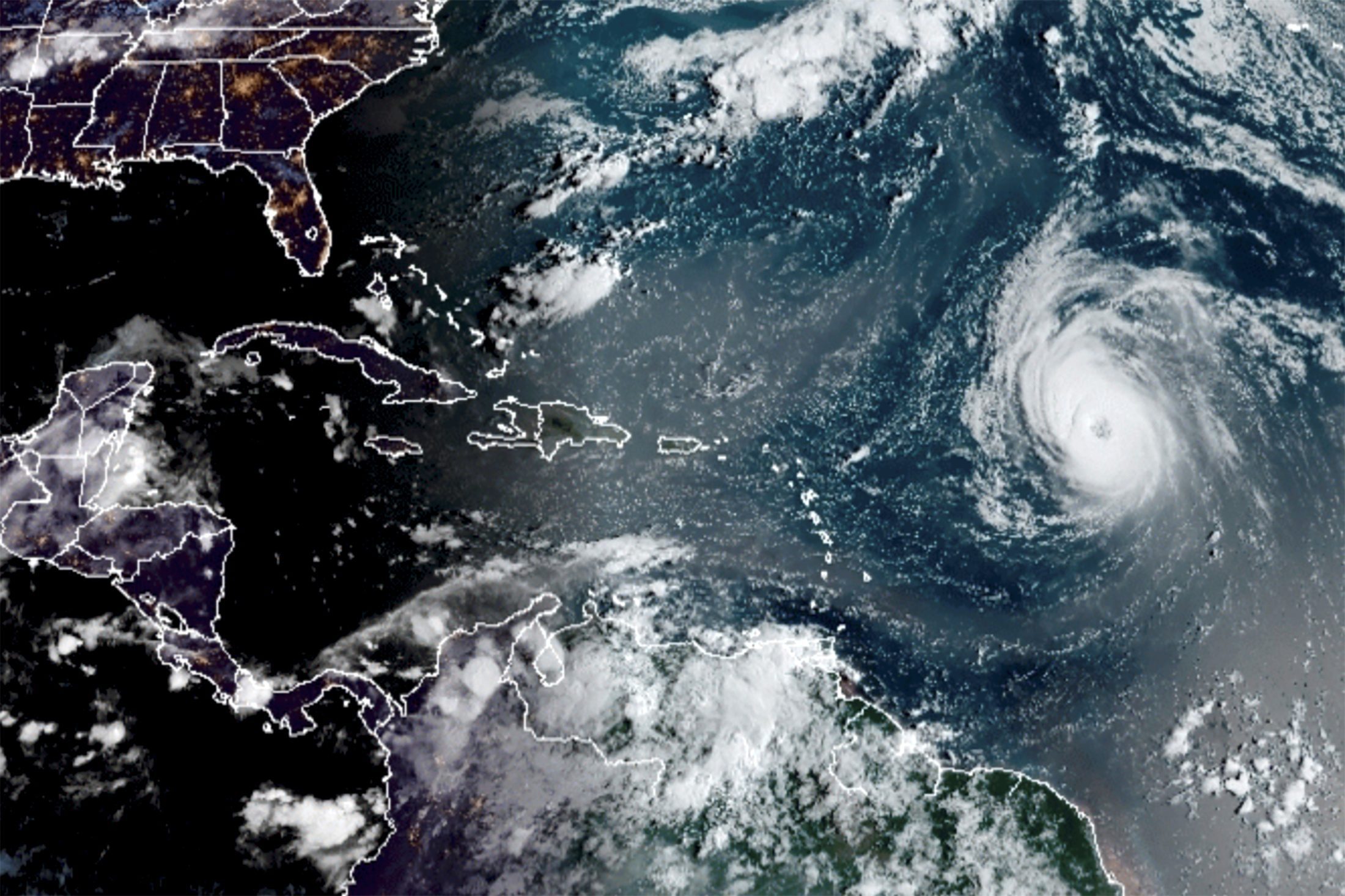
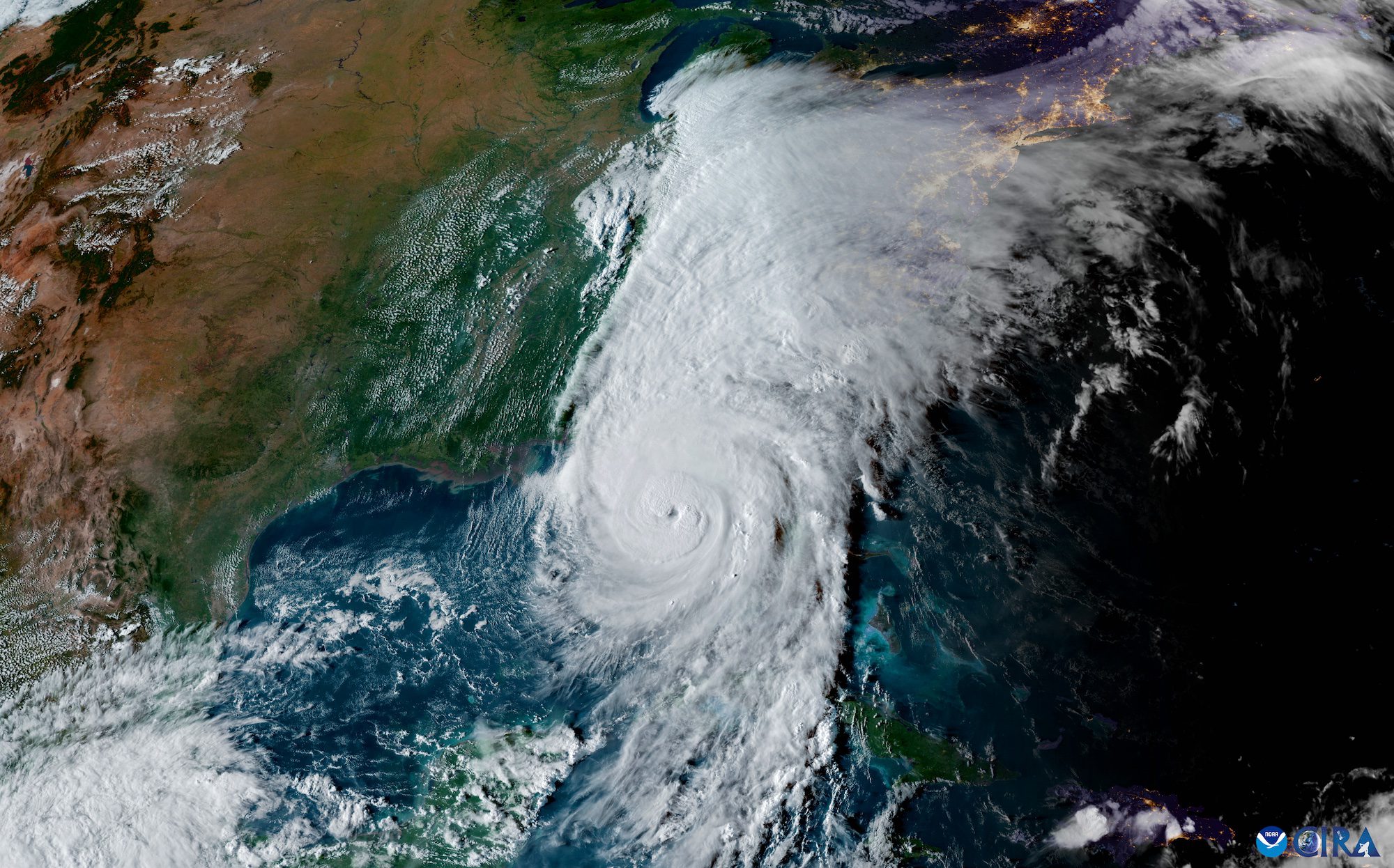
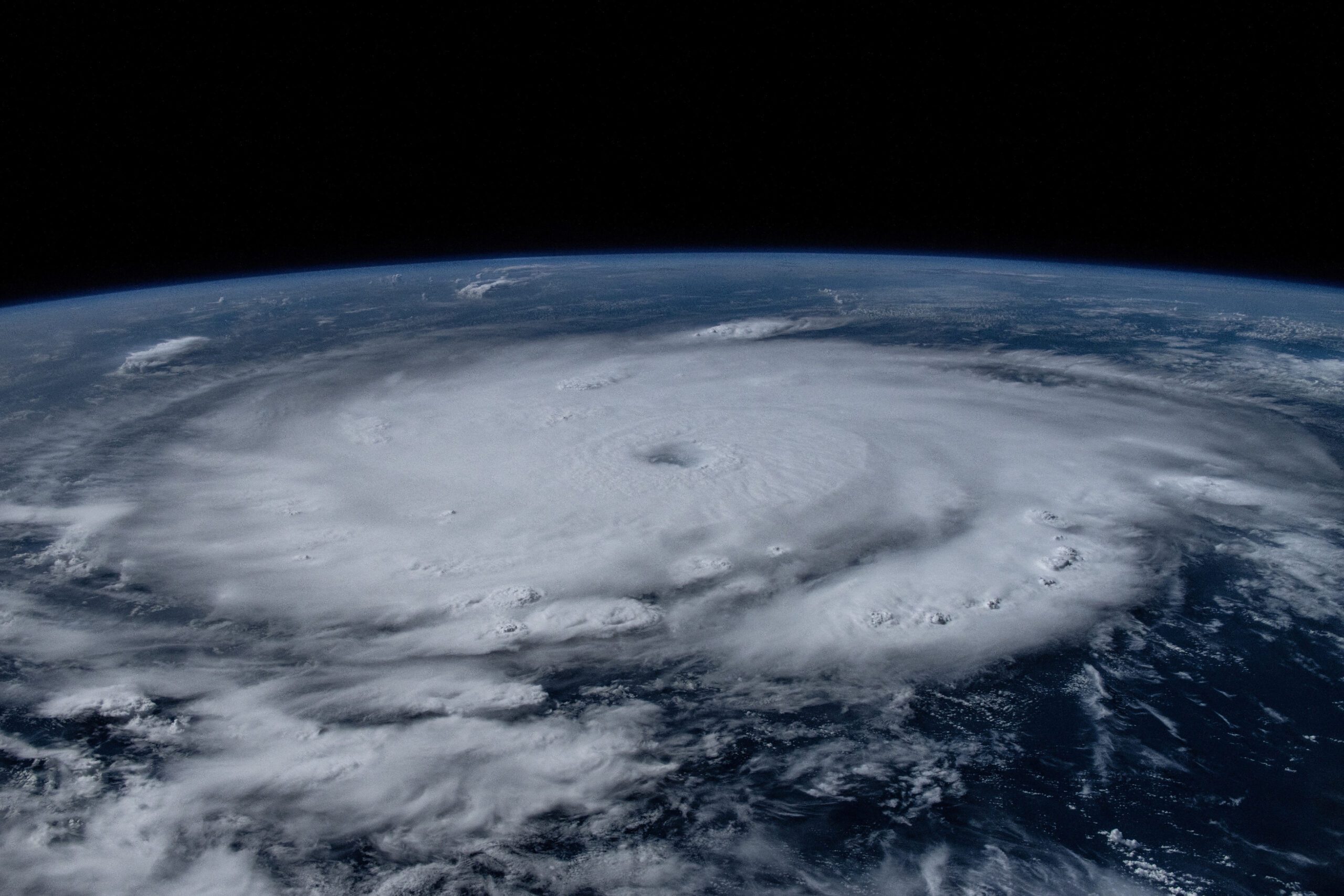
Hurricane Larry, the third major hurricane in an already above-average Atlantic hurricane season, continues as a large and intense hurricane this morning, with a 40 n mi diameter eye.
The hurricane is moving northwestward at a slightly slower speed, or 310/11 kt. During the next 2-3 days, Larry is likely to continue its northwestward journey with only a minimal reduction in forward speed.
Larry’s large eye suggests that no rapid changes in strength are likely during the short term. Since Larry will be traversing warm waters, NOAA predicts the hurricane will maintain its intensity during the next few days. The official intensity forecast keeps Larry as a major hurricane through the next 72 hours.
Larry is forecast to approach Bermuda during the next several days, likely as a major hurricane, bringing a risk of strong winds, heavy rainfall, and coastal flooding to the island by the middle of this week. While it is too soon to determine the magnitude of these hazards and potential impacts on Bermuda, interests there should closely monitor the latest forecast updates during the next several days.
Significant swells will reach the east coast of the United States and Atlantic Canada by midweek.
Editorial Standards · Corrections · About gCaptain

 Join The Club


