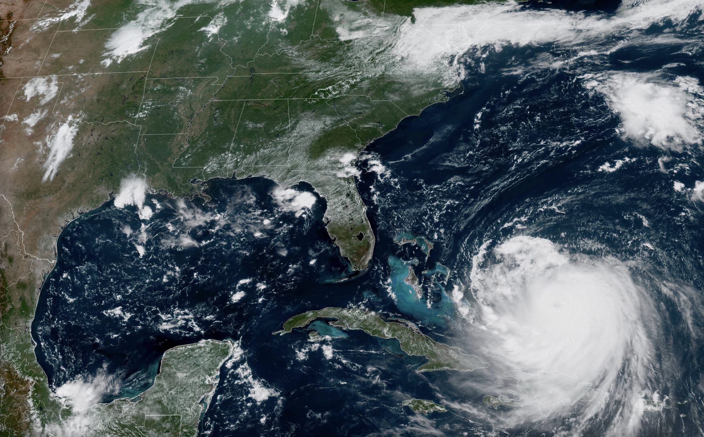
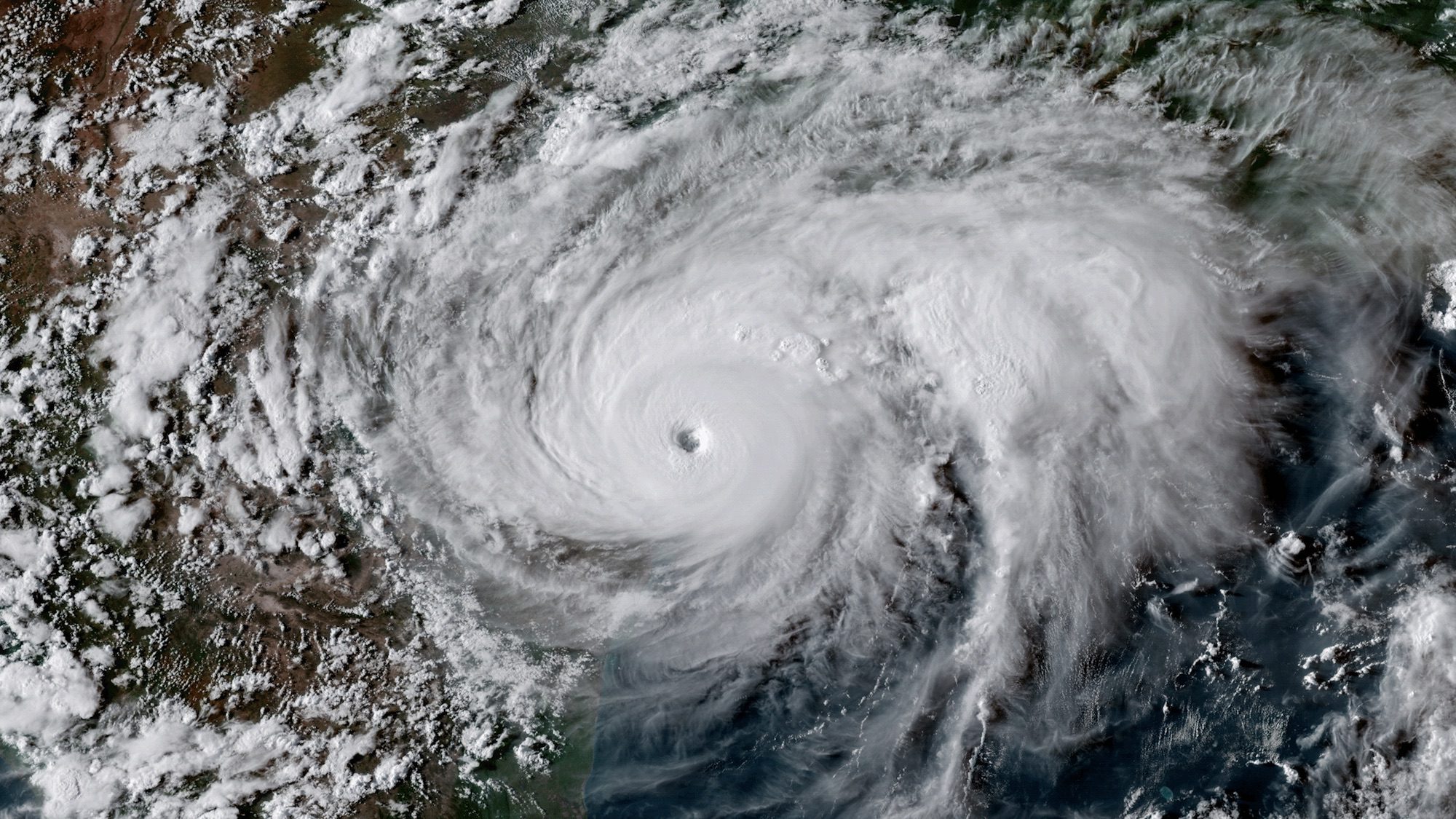
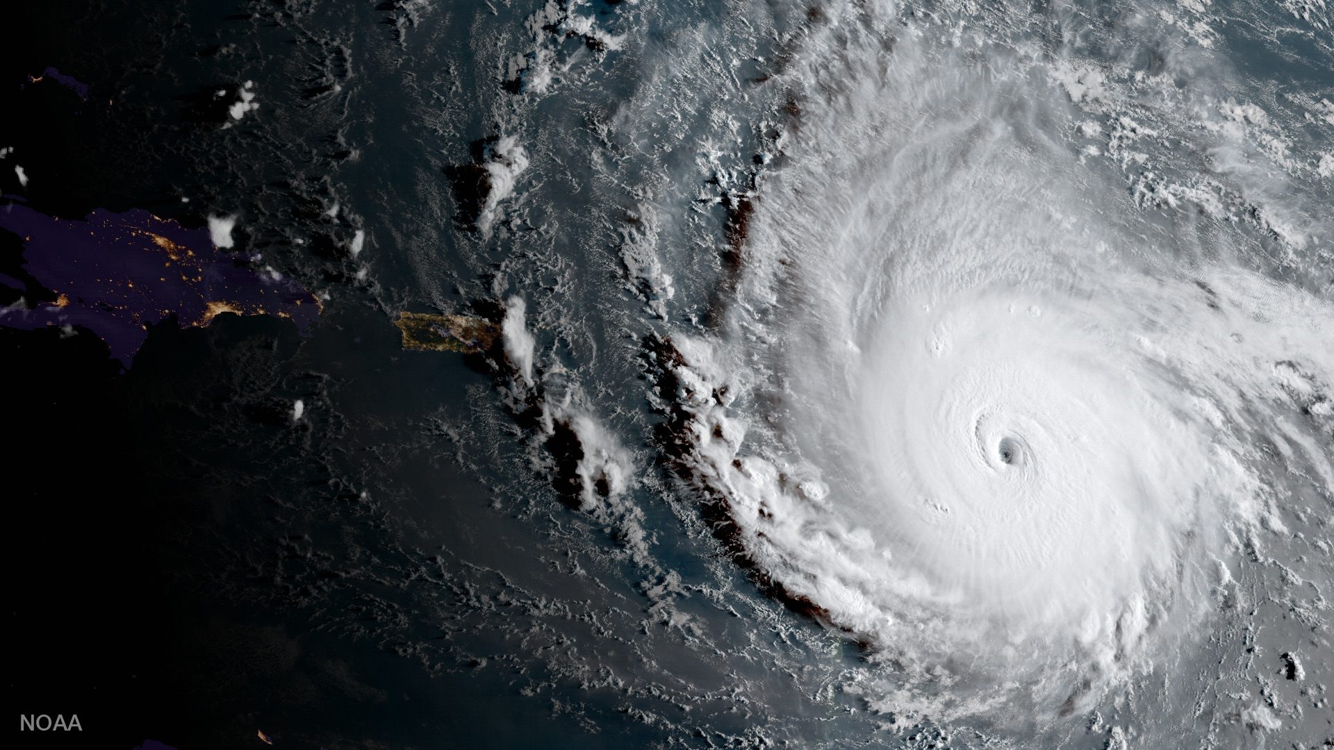
Hurricane Erin has once again strengthened into a dangerous Category 4 storm with maximum sustained winds of 140 mph as it moves through the western Atlantic, prompting warnings for maritime traffic and coastal communities.
According to the latest National Hurricane Center advisory issued Monday, August 18, the hurricane is located approximately 110 miles north of Grand Turk Island and 880 miles southeast of Cape Hatteras, North Carolina. The system is currently moving west-northwest at 10 mph with a forecast turn to the northwest expected later today, followed by a northward turn on Tuesday.
“On the forecast track, the core of Erin is expected to pass to the east of the southeastern Bahamas today and move between Bermuda and the east coast of the United States by the middle of the week,” the NHC stated in its advisory.
The hurricane’s expanding wind field poses significant threats to maritime operations throughout the western Atlantic. Hurricane-force winds extend outward up to 80 miles from the center, while tropical-storm-force winds reach outward up to 230 miles.
Data from MarineTraffic.com confirms that vessels are already altering course to avoid the storm’s path, with U.S. coastal regions preparing for hazardous conditions even without direct landfall. The minimum central pressure has dropped to 935 mb, indicating the storm’s increasing intensity.
Tropical storm warnings remain in effect for the Turks and Caicos Islands and southeastern Bahamas, with watches extending to the central Bahamas.
Of particular concern to mariners, the NHC warns: “Swells generated by Erin will affect the Bahamas, Bermuda, the east coast of the United States, and Atlantic Canada during the next several days. These rough ocean conditions will likely cause life-threatening surf and rip currents.”
Shipping interests should note that Erin underwent rapid intensification over the weekend, briefly reaching Category 5 status with maximum sustained winds of 160 mph before slightly weakening. Forecasters expect the system to “remain a dangerous major hurricane through the middle of this week.”
The NHC also cautions that standard wind probability products may underestimate the actual risk beyond 36 hours “because the forecast wind field of Erin is considerably larger than average compared to the wind field used to derive the wind speed probability product.”
Interests along the Outer Banks of North Carolina and Bermuda are advised to monitor the hurricane closely, as tropical storm conditions and coastal flooding could begin affecting the North Carolina coast by late Wednesday.
Editorial Standards · Corrections · About gCaptain

 Join The Club


