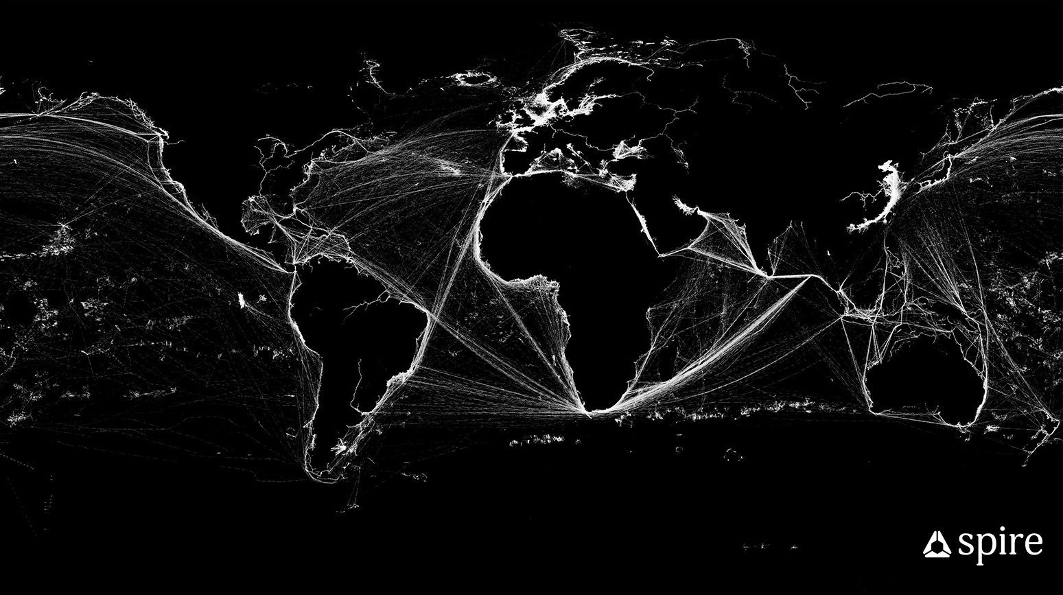
European Maritime Safety Agency has selected San Francisco-based satellite data analytics company Spire Global to provide the agency with global satellite automatic identification system (SAT-AIS) data in support its mission to support EU maritime interests.
The new SAT-AIS data, a term to described when satellites are used to detect AIS signals, is expected to complement EMSA’s current SAT-AIS stream by improving coverage, particularly in the Arctic and Antarctic regions. The additional SAT-AIS data stream will also improve EMSA’s service in terms of resolution and detection rate of AIS messages.
EMSA’s mission is to serve EU maritime interests for a safe, secure, green and competitive maritime sector and act as a reliable and respected point of reference for the sector in Europe and worldwide. Through the partnership, EMSA will have better awareness of what, when and where vessels are around the world, according to Spire.
“We are pleased to have been selected by EMSA for this mandate and to be providing satellite-AIS services to this vital maritime organization,” said Simon van den Dries, General Manager of Spire Maritime “We believe that Spire’s high reliability and quality of its data gathered by its fast growing satellite constellation – differentiates us in the industry and will help support EMSA’s vision and maritime strategy within the EU.”
The partnership comes in the form of a new Framework Contract between the two. The new feed will serve as a backup solution for the current SAT-AIS data services that EMSA offers through its Integrated Maritime Services (IMS), which it offers to all EU and European Free Trade Agreement Member States. With IMS, Member States can make full use of a range of integrated vessel reporting information from terrestrial and satellite AIS, Long-range identification and tracking (LRIT), Vessel Monitoring System (VMS), as well as national vessel position data such as coastal radar, patrol assets, and leisure craft.
Founded in 2012, Spire Global currently has over 100 nanosatellites that collect data to help with weather forecasting and maritime and aviation tracking.
Editorial Standards · Corrections · About gCaptain

 Join The Club