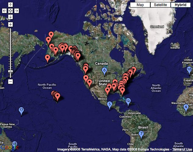
Marinebuzz.com points us to World Port Source, a website that plots all the ports of the world on an easy to use and familiar Google Map. World Port Source provides interactive satellite images, maps and contact information for 3,086 ports in 189 countries around the world. The website states:
Due to the complex interrelation of ports, cargo carriers, cruise ship lines, shipping agencies, terminal operators and dozens of other transportation related businesses, government agencies and public authorities the completion of this website will be a journey of discovery rather than a destination with closure.
The first objective in developing this site is to provide contact information and satellite images of ports and harbors throughout the world. Over time, this foundation of world ports will be cross referenced with the people and companies who make their livelihood servicing the world’s largest and most valuable transportation network.
Along with the above mentioned features, the site provides links to all container liner service companies, news and Local Views, which provides an index to close-up satellite images of features in and around the ports of the world.
Link: WorldPortSource.com
Updated: February 5, 2026 (Originally published December 19, 2008)
Editorial Standards · Corrections · About gCaptain

 Join The Club