Marking the first time the UKHO supplies data directly to GEBCO, this initiative aims to advance the understanding of ocean bathymetry and support the Decade of Ocean Science for Sustainable Development
The UK Hydrographic Office (UKHO) has started supplying bathymetric survey data for non-UK waters to the General Bathymetric Chart of the Oceans (GEBCO), after signing the memorandum of understanding (MOU) with The Nippon Foundation-GEBCO Seabed 2030 Project (Seabed 2030) earlier this year.
The MOU was signed with the goal of advancing the industry’s understanding of ocean bathymetry and supporting the UN Decade of Ocean Science for Sustainable Development. The UKHO has agreed to provide bathymetric data gridded map products and advise on data management methods and best practice, to support the ambitious goal of completely mapping the world’s oceans by 2030 (Seabed 2030).
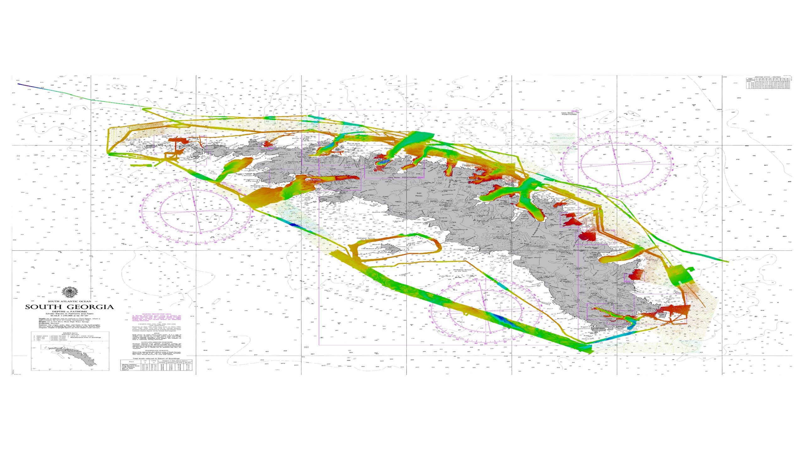
The UKHO has started supplying data that covers the South Atlantic and the waters around Antarctica to GEBCO via the Seabed 2030 Southern Ocean Regional Centre, located at the Alfred Wegener Institute. This data is an important contribution to the International Bathymetric Chart of the Southern Ocean (IBCSO), GEBCO and Seabed 2030. The supplied data has contributed 3,753,614 new data points to IBCSO and GEBCO, covering a combined 13,500 nm², including South Georgia (1,500 nm² with 55,539 data points) and Antarctica (12,000 nm² with 2,931,105 data points).
This marks the first time that the UKHO has supplied data from outside of the UK directly to GEBCO for inclusion in its products. It follows the success of a 2021 trial that saw the UKHO collaborate closely with the Alfred Wegener Institute on a data set covering South Georgia to ensure it met supply requirements and contained all the data and metadata required. The trial data – which contained a deconflicted 100m resolution bathymetric surface covering 1,500 nm² – was supplied to the Alfred Wegener Institute in November 2021 and was successfully integrated into the IBCSO data pipeline.
This announcement supports the UKHO’s presence at the GEBCO ‘Map the Gaps’ Symposium. The event, hosted by NOC (the UK’s National Oceanography Centre) in association with the UKHO, is taking place at the end of October 2022. Rhett Hatcher, UK National Hydrographer and Director of Data Acquisition & Defence, UKHO, will deliver an opening speech.
Commenting on this milestone, Rear Admiral Rhett Hatcher, UK National Hydrographer and Director of Data Acquisition at the UKHO, said: “It is fantastic to announce that we have started supplying bathymetric data surveys to GEBCO for inclusion in its products. This also marks an important milestone in our partnership with Seabed 2030, which is part of the UKHO’s wider commitment to the full mapping of the world’s oceans to support safe, secure, and thriving oceans.
“Next, we plan to submit data into the Caribbean region, and look forward to further opportunities to engage with the wider geospatial community and support the UN Decade of Ocean Science for Sustainable Development.”
Boris Dorschel, Head of Southern Ocean Regional Centre, Alfred Wegener Institute, added: “High-quality marine geospatial data plays an instrumental role in Seabed 2030 and is essential to fulfil our task of mapping the world’s oceans. We are very grateful to the UKHO for its data contributions and expertise on ocean mapping solutions to realise this goal, and to progressing the Seabed 2030 efforts to produce the complete map of the ocean floor by 2030.”
Seabed 2030 – a flagship programme of the UN Decade of Ocean Science for Sustainable Development – is a collaborative project between The Nippon Foundation and the General Bathymetric Chart of the Oceans (GEBCO) to map the world’s oceans completely by 2030, and to compile all bathymetric data into the freely available GEBCO Ocean Map. GEBCO is a joint programme of the International Hydrographic Organization (IHO) and the Intergovernmental Oceanographic Commission (IOC), and is the only organisation with a mandate to map the entire ocean floor.
About the UK Hydrographic Office (UKHO)
The UK Hydrographic Office is a leading centre for hydrography, providing marine geospatial data to inform maritime decisions. We work with a wide range of data suppliers and partners to support maritime navigation, safety, security and marine development around the UK and worldwide.
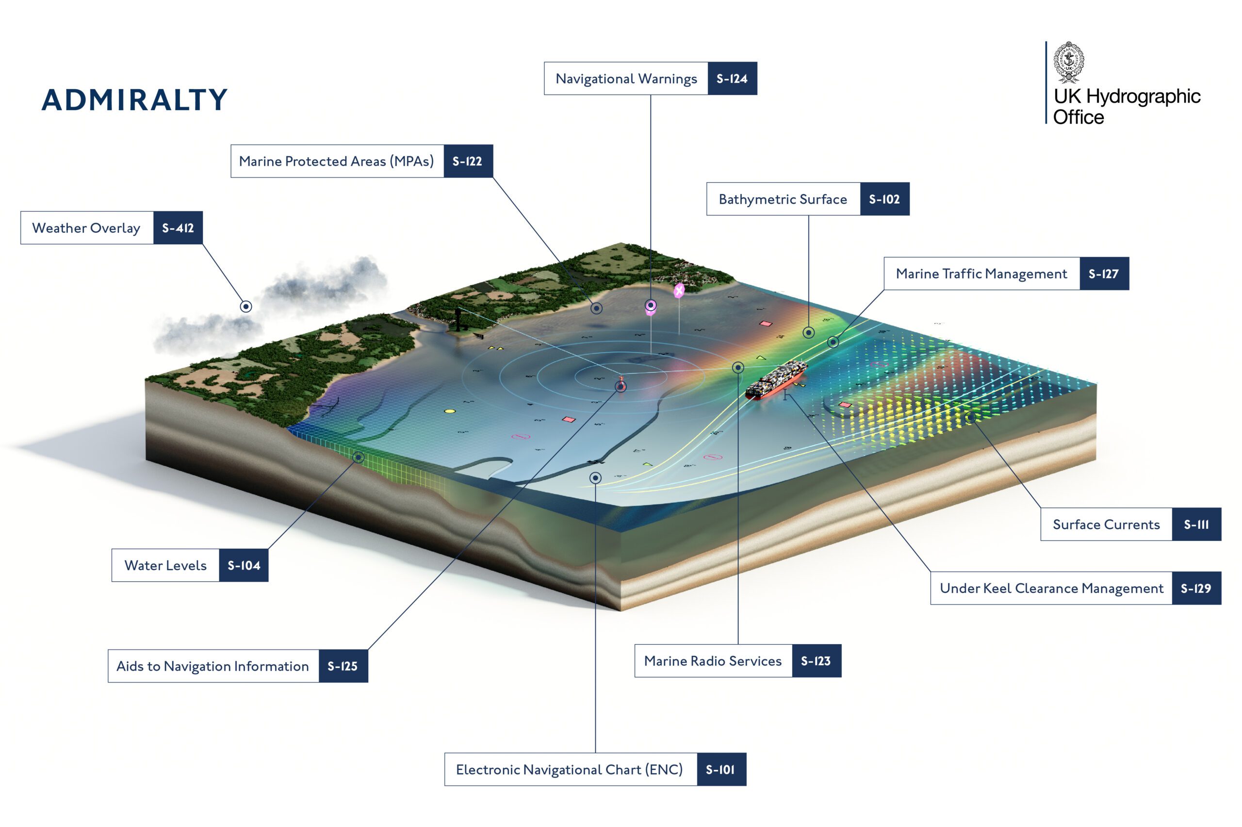
We make location-based information available through ADMIRALTY Maritime Data Solutions, our world-leading range of charts, publications and custom data sets. Our use of marine data and technology, combined with our expertise, ensures we continue to innovate and provide a wider range of solutions.
We source, process and provide access to location-based information, ranging from seabed to surface. This enables our partner organisations to make critical maritime decisions – informing the sustainable use and management of the marine environment and supporting the development of the blue economy.
About The Nippon Foundation-GEBCO Seabed 2030 Project
The Nippon Foundation-GEBCO Seabed 2030 Project is a collaborative project between The Nippon Foundation and GEBCO. The Seabed 2030 Project, launched at the United Nations Ocean Conference in 2017 by Chairman Sasakawa of The Nippon Foundation, coordinates and oversees the sourcing and compilation of bathymetric data from different parts of the world’s ocean through its five centres into the freely available GEBCO Grid. Four Regional Centres cover the Southern Ocean, the Arctic and North Pacific Ocean, the Atlantic and Indian Oceans, and the South and West Pacific Ocean. These feed data products into the Global Data Centre. For the 2022 release of the GEBCO grid, it is estimated that 23.4% of the seafloor has been mapped, compared with 20.6% in 2021.
Find out more about the project and how to get involved.
Editorial Standards · Corrections · About gCaptain

 Join The Club